


he ensuing geophysical investigation report is the result of field vertical electrical sounding (VES) carried out on 16th March, 2018 for the sinking of a successful borehole at Hon. Edeh Emmanuel Compound Off-Convent Road, Abakaliki L.G.A. Ebonyi State.
Pre-drilling geophysical surveys happen to be the scientific method of determining the existence or otherwise of underground water. This therefore, necessitated our hydrogeologists to carry out this survey. The vertical electrical soundings were therefore carried out at the proposed site on the 7Th February, 2018.
This report involves studies of the physiography, local geology and hydrogeology as well as the conduct of vertical electrical sounding of the subsurface vertical stratigraphy.
Abakaliki area sits on the Albian Cretaceous sediments known as the Abakaliki Shale of the Asu –River Group. The Asu River Group sediments are predominantly shales, and localized occurrences of sandstone, siltstone and limestone intercalations. It was generally believed to have started depositing in the mid-Albian period and was deposited within the southern Benue Trough, southeastern Nigeria. Emplaced in these Asu River Group sediments are intermediates to basic intrusive, Abakaliki area sits on the Albian Cretaceous sediments known as the Abakaliki Shale of the Asu –River Group. The Asu River Group sediments are predominantly shales, and localized occurrences of sandstone, siltstone and limestone intercalations. It was generally believed to have started depositing in the mid-Albian period and was deposited within the southern Benue Trough, southeastern Nigeria. Emplaced in these Asu River Group sediments are intermediates to basic intrusive, extrusives and pyroclastics. The group has average thickness of about 2000m and rests unconformably on the Precambrian Basement. The Abakaliki Shale Formation, which has an average thickness of about 500m, is dominantly shale, dark grey in colour, blocky and non-micaceous in most locations. It is deeply folded, faulted and fractured by the series of tectonic activities which has acted on the rocks. This has given the shales the ability to house groundwater at economic quantity in some areas, while its nature as aquiclude still exist in other parts where fracturing is not pronounced. It is calcareous (calcite-cemented) and deeply weathered to brownish clay in the greater part of the formation.
Geophysical surveys were employed to “look into the ground” and find the detailed subsurface stratigraphy beneath the area. The method is employed in ground water investigations. This method makes use of variations in the electrical properties of rocks and minerals. It is generally used in studying geological formations of interest in relation to their depth, particularly with regard to their permeability.
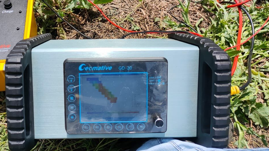
It is well known that resistivity of a formation largely depends on the moisture content and on the physical and chemical properties of the saturating water. The equipment used for the fieldwork was the versatile GEOMATIVE GD-10 RESISTIVITY METRES; however, Interpex 1D sounding inversion software was used in the interpretation. The apparent resistivity, which is the normal quantity determined from the field measurement, is not a physical constant, but reflects the distribution of the true resistivities in the subsurface, and depends on the spatial configuration of the
measuring systems. Of the possible electrode configuration used in measuring resistivity, the Schlumberger arrangement was the one employed in the present study. Apparent resistivity were obtained from the field resistance values using the equation
The Vertical Electric Sounding (VES) was conducted outside the compound where the proposed water scheme is to be located but directed on the identified fracture system passing through the area of interest, and where a possible good spread was obtained.
The Vertical Electric Sounding (VES) result shows 3 and 4 layers at point 1 and 2 respectively. The first layers had an apparent resistivity 55.26 Ohm- m and 52.26 with thicknesses of 2.2m and 2.1, while the second layers had apparent resistivity of 27.01 Ohm-m and 43.34 with thicknesses of 18.1 and 1.8 metres respectively. Detailed lithologic descriptions are shown in table 1 and 2.


Industry-leading geophysical equipment and service provider supplier


