
Category 01
Resistivity and IP
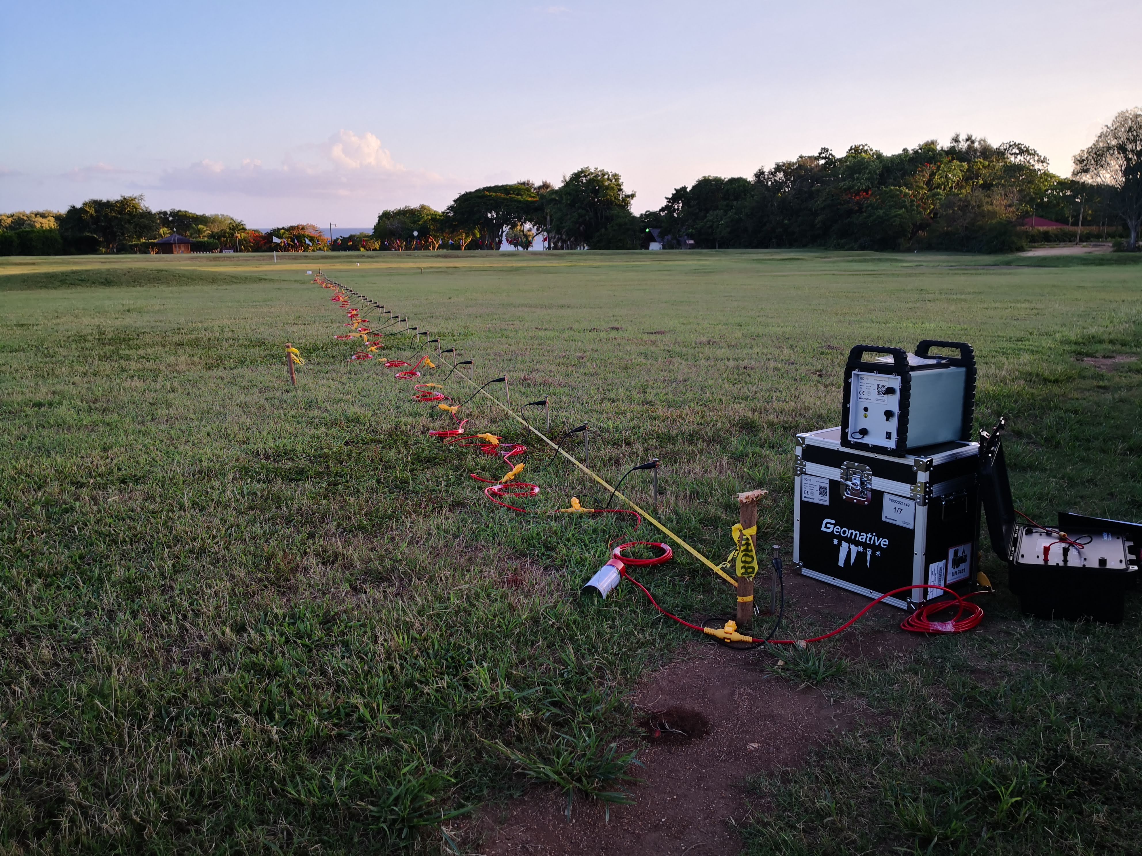
Multi-electrode resistivity imaging systems for electrical resistivity tomography (ERT) and vertical electrical sounding (VES).
View product seriesGeophysical Exploration and Monitoring Solutions
Focusing on mineral exploration, groundwater investigation, engineering geology, and environmental monitoring, we provide high-density resistivity meters, electrical geophysical instruments, and multi-method geophysical survey equipment.
Starting from field requirements, we deliver reliable insights for subsurface investigation.
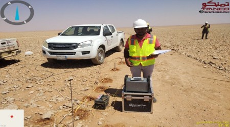 Field Survey
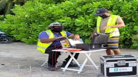 Technical Services
WHY GEOMATIVE
Geomative develops geophysical instruments and digital solutions that help professionals better understand subsurface structures and make informed decisions.
Industry Solutions
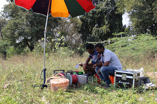
Integrated geophysical solutions for mineral prospecting.
View case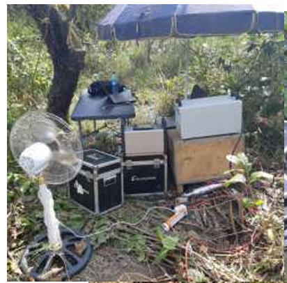
End-to-end geophysical solutions for groundwater exploration.
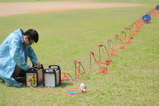
Geophysical investigation solutions for foundation assessment.
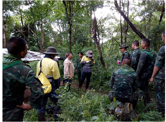
Continuous geophysical monitoring solutions.
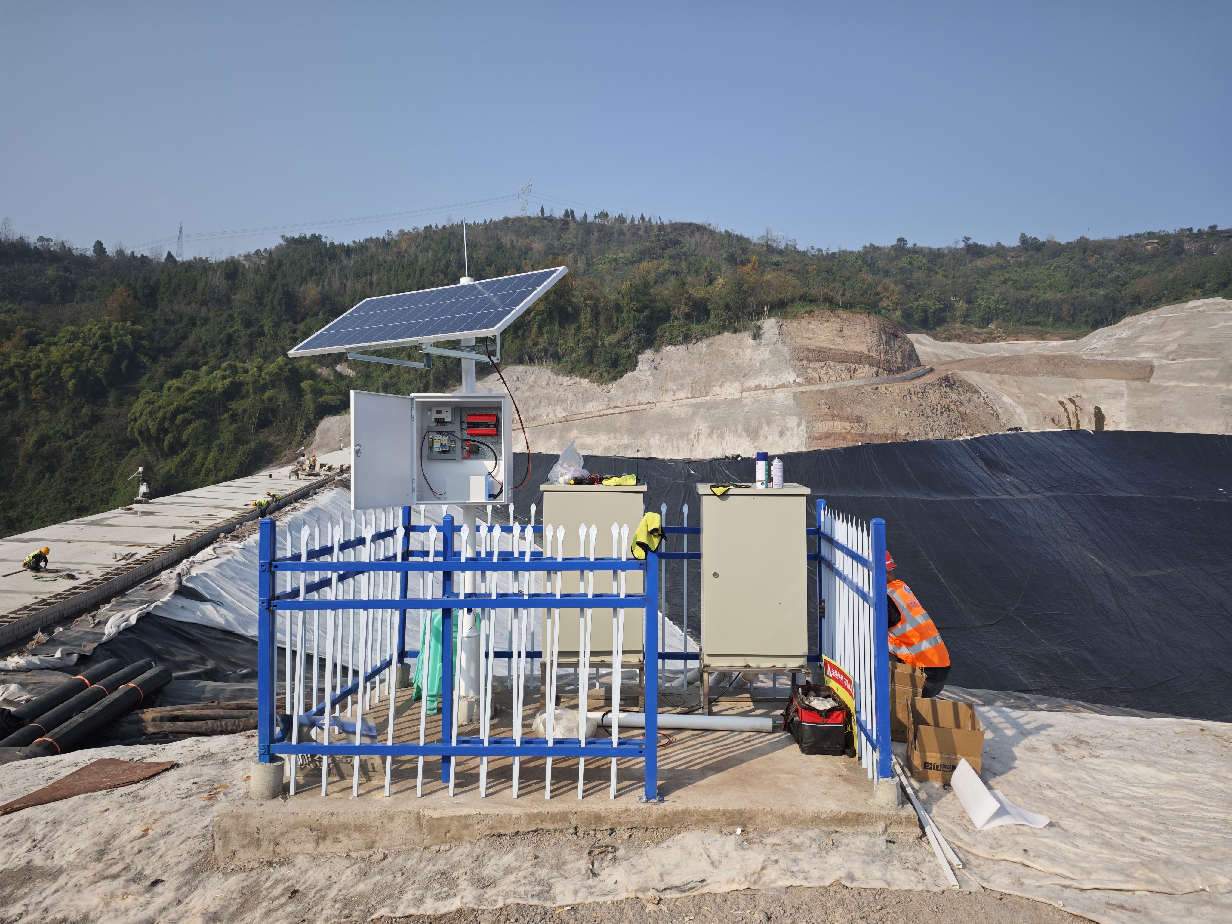
Geomative’s online monitoring business adopts sensor acquisition and wireless transmission technology to realize 24‑hour in‑situ data collection, transmission and risk monitoring and early warning for dams, tailings ponds, slopes and hydrogeological parameters of groundwater.
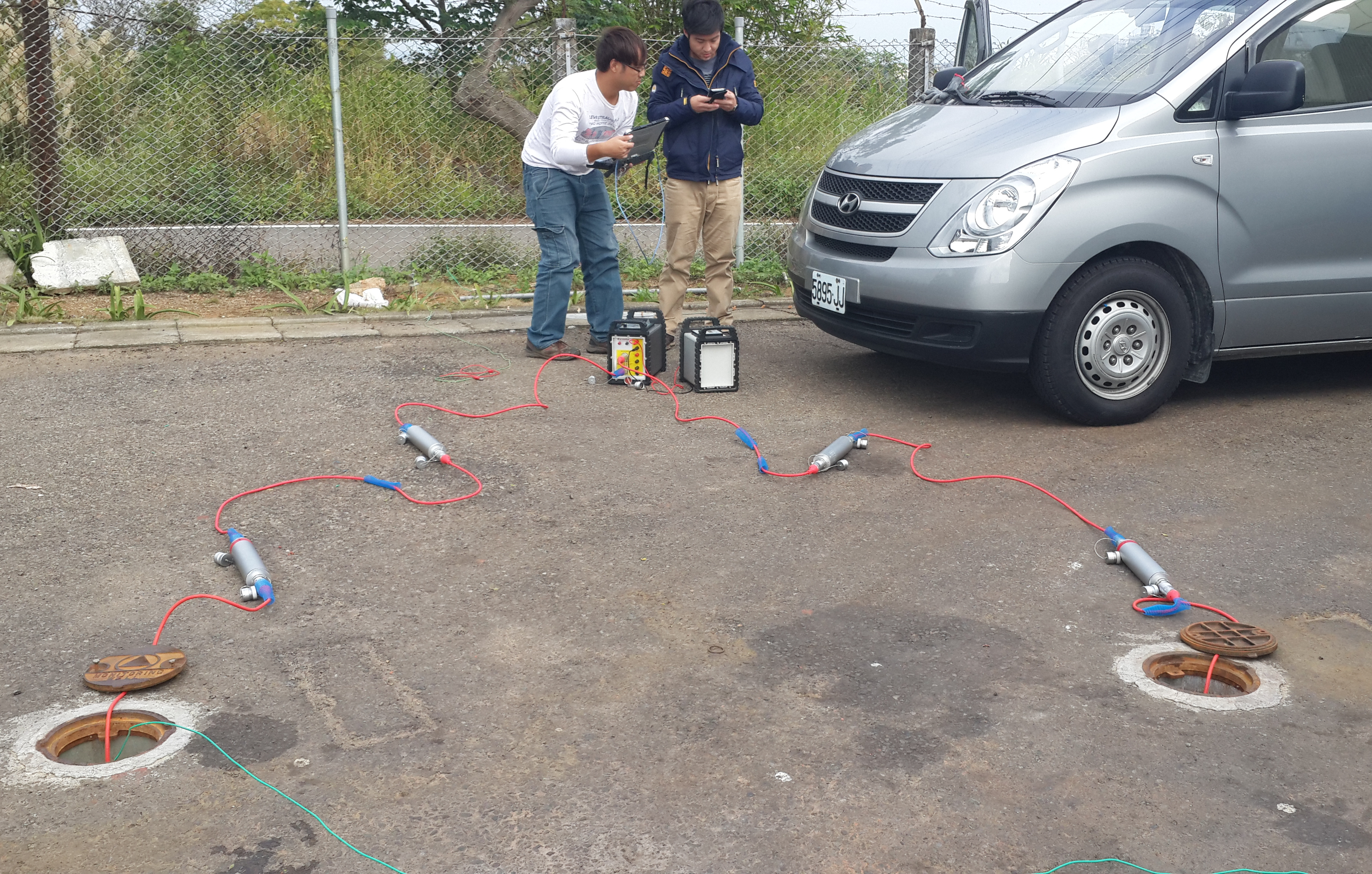
Cross‑hole investigation is an in‑situ exploration technology that conducts geophysical measurements or in-situ tests between two or more boreholes to obtain information on subsurface stratigraphy, aquifers, and geological parameters between boreholes.
Products
5 product categoriesScroll horizontally to browse all product lines
Category 01
Multi-electrode resistivity imaging systems for electrical resistivity tomography (ERT) and vertical electrical sounding (VES).
View product series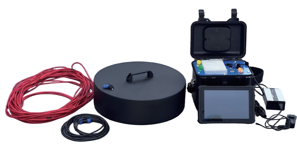
Category 02
Electromagnetic systems, including transient electromagnetic (TEM) and magnetotelluric (MT) instruments, for surface, tunnel, borehole, and mineral exploration surveys.
View product series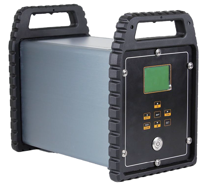
Category 03
Digital borehole logging systems for multi-parameter downhole measurements, supporting formation identification, lithological analysis, and hydrogeological investigations.
View product series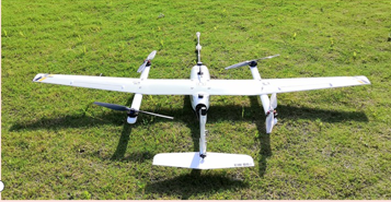
Category 04
High-precision ground and airborne magnetometers for total-field measurements and UAV-based magnetic surveys.
View product series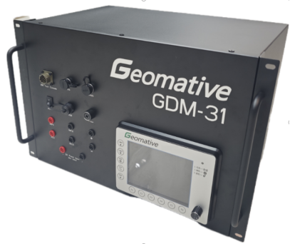
Category 05
Electrical resistivity-based monitoring systems for groundwater contamination tracking, landfill leakage detection, and dam and tailings facility safety monitoring.
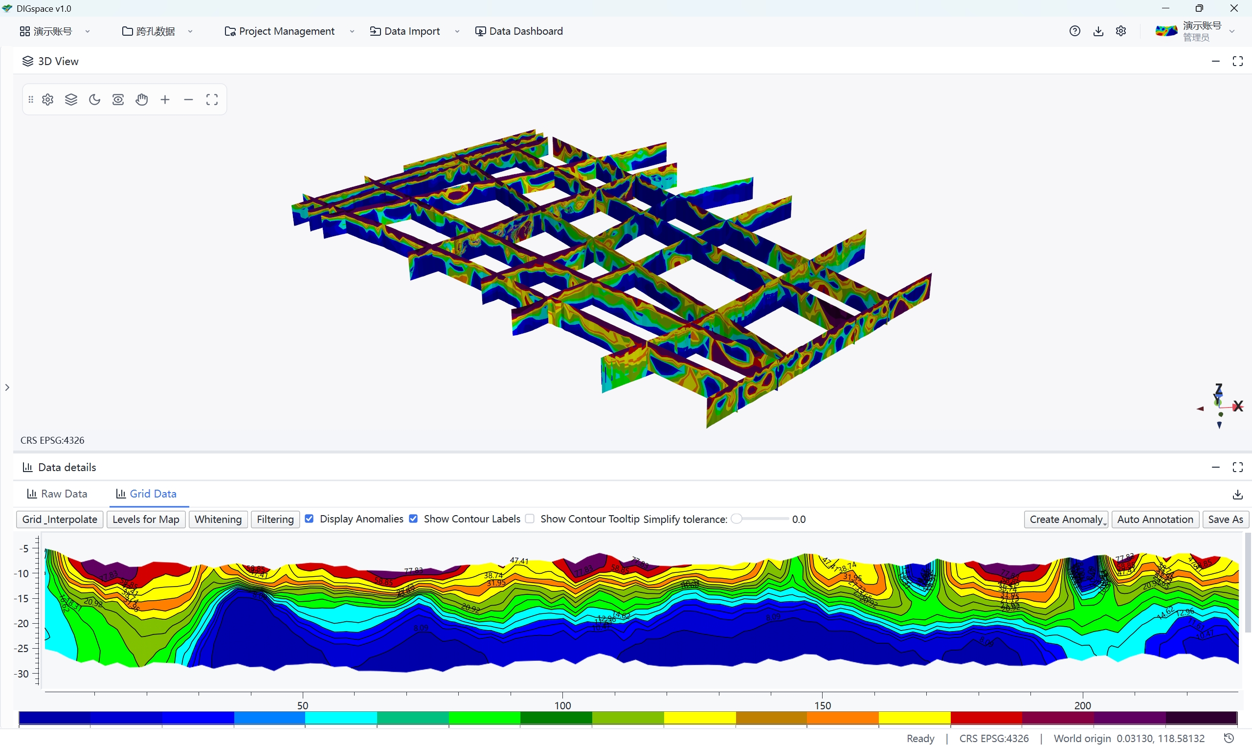
View product seriesAn integrated platform for geophysical data processing, 3D visualization, and intelligent subsurface anomaly interpretation.
Leveraging a unified coordinate framework, the platform fuses 2D survey lines, 2D profiles and subsurface structural data, and enables multi-source data ingestion and mapping for electrical survey, GPR, pollution investigation and leakage monitoring with seamless 2D & 3D integrated visualization.
Streamline data processing workflows for electrical survey, electromagnetic methods, etc.
Fused display of survey line maps, profile curves, curtain and 3D volume data.
Interactively delineate subsurface anomalies to assist geological interpretation and result output.
Support
Geophysical methods, typical applications and field notes
Browse resourcesAnswers on configuration, acquisition and daily use
Browse questionsManuals, specifications and related technical documents
Find documentsQuick Answers
Partners
Serving research institutes, environmental engineering firms and industry clients.






















Contact Us
Share the target depth, site conditions and the problem you need to solve, and our team will help you shape a suitable geophysical method and instrument setup.
Project Inquiry
A few basics help us understand your needs faster.