Geomative
  • Products
    • Resistivity and IP Tomography
    • Electromagnetic
    • Integrated Well Logging System
    • Airborne and Ground Magnetometers
    • Subsurface Environmental Monitoring System
    GD-12/22/32 1/6/12-Channel Resistivity IP Imaging System

    GD-12/22/32 1/6/12-Channel Resistivity IP Imaging System

    GD22 It integrates modules such as transmission, collection, control and power supply, and possesses capabilities of high-power transmission, high-precision signal collection, full waveform recording, IP induced polarization measurement, etc. Combined with professional acquisition APP and Geometa data platform, it is suitable for various scenarios of electrical exploration operations. It has a high protection level and strong environmental adaptability, and can meet the detection requirements in multiple fields such as geology, engineering and environment.

    GS-30 12-Channel Electric Receiving Station

    GS-30 12-Channel Electric Receiving Station

    GD-10 Electrical Resistivity & IP Imaging System

    GD-10 Electrical Resistivity & IP Imaging System

    The GD10 survey system adopts a modular and scalable hardware platform, enabling the collection of electrical survey data in various scenarios such as on the ground, in tunnels, and underwater. This system has brought a technological breakthrough to traditional engineering geophysical survey operations.

    GD-20 Multi-channel ERT/IP Imaging System

    GD-20 Multi-channel ERT/IP Imaging System

    The multi-channel collection method is more efficient and significantly reduces the construction cost.

    Laboratory Electrical Workstation

    Laboratory Electrical Workstation

    Multi-electrode resistivity imaging for versatile subsurface investigations.

    Learn more
  • DIGspace
    • DIGspace
    • Platform Fundamental Ability
    • Technical Methods
    • Applications
    • trial application & download
    DIGspace Platform

    DIGspace Platform

    Integrating geological, geophysical, and monitoring data into a unified subsurface cognition system. Deep analysis on desktop, collaboration on web.

    A 3D geospatial platform fusing multi-source survey data with surface spatial information — covering exploration analysis and long-term monitoring.

    Learn more
  • Solutions
    • Mineral Resource Exploration
    • Online Monitoring
    • Cross‑hole investigation
    • Hydrogeological Survey
    • Engineering Geology Investigation
    • Subsurface Environmental Monitoring
    Brazil Gold Ore Exploration Case

    Brazil Gold Ore Exploration Case

    Carry out geophysical exploration for sulfate zones with potential metal mineral resources in ESTADO DO PARÁ, Brazil, and locate metal ore deposits by electrical prospecting technology.

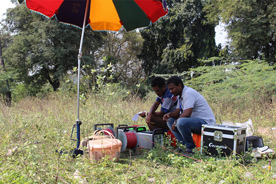
    Underground water and mineral exploration at Beishan Lead-Zinc Mine, Hechi, Guangxi

    Underground water and mineral exploration at Beishan Lead-Zinc Mine, Hechi, Guangxi

    Integrated geophysical solutions for mineral prospecting.

    Learn more
  • Support
  • About Us
中文Talk to an Expert
  • Products
  • DIGspace
  • Solutions
  • Support
  • About Us
Geomative

A provider of spatial intelligence technology and equipment, serving surveying, energy, transport and emergency response with fully self-developed hardware and software.

Products

  • Resistivity and IP Tomography
  • Electromagnetic
  • Integrated Well Logging System
  • Airborne and Ground Magnetometers
  • Subsurface Environmental Monitoring System

Industries

  • Mineral Resource Exploration
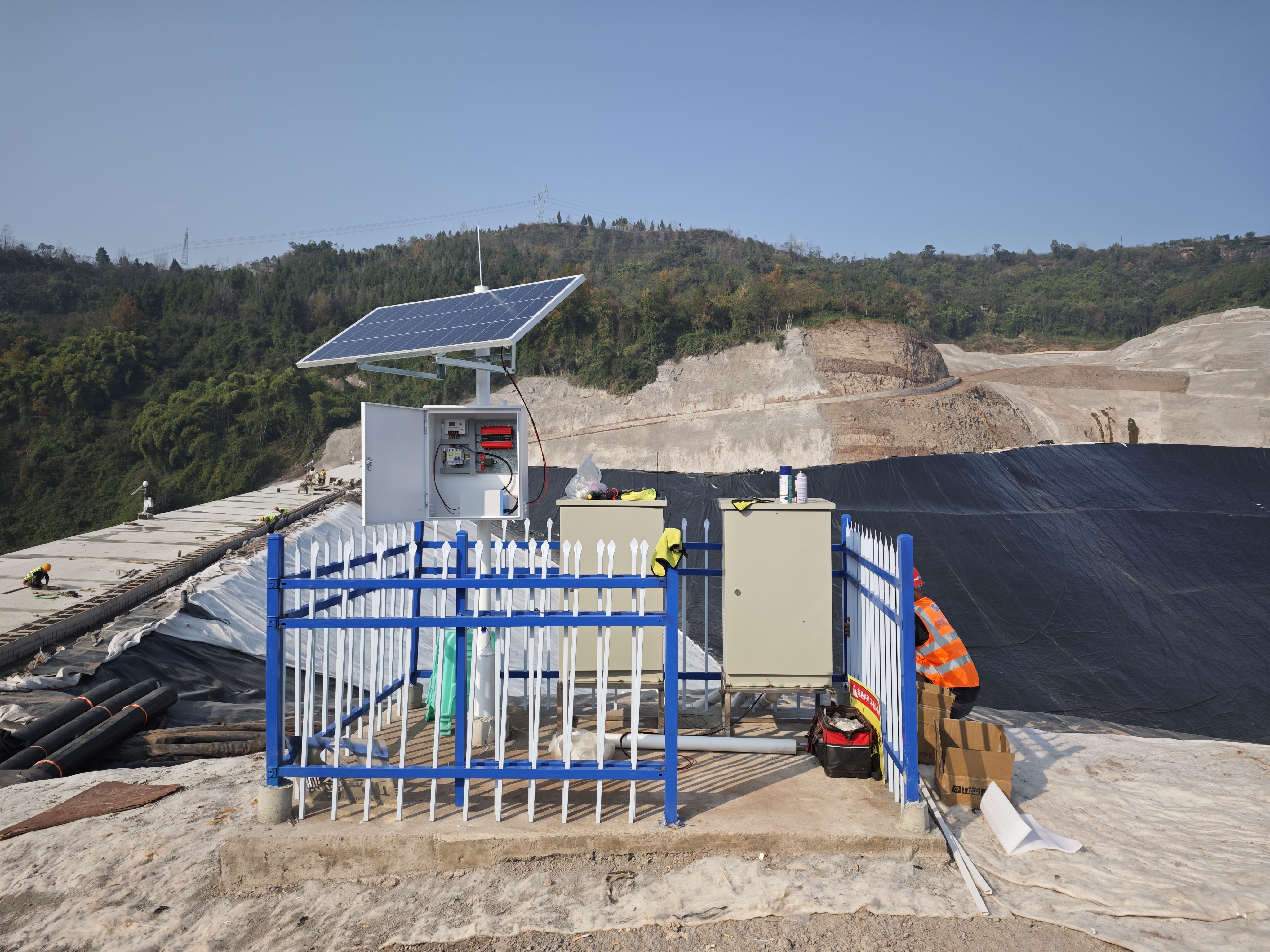
  • Online Monitoring
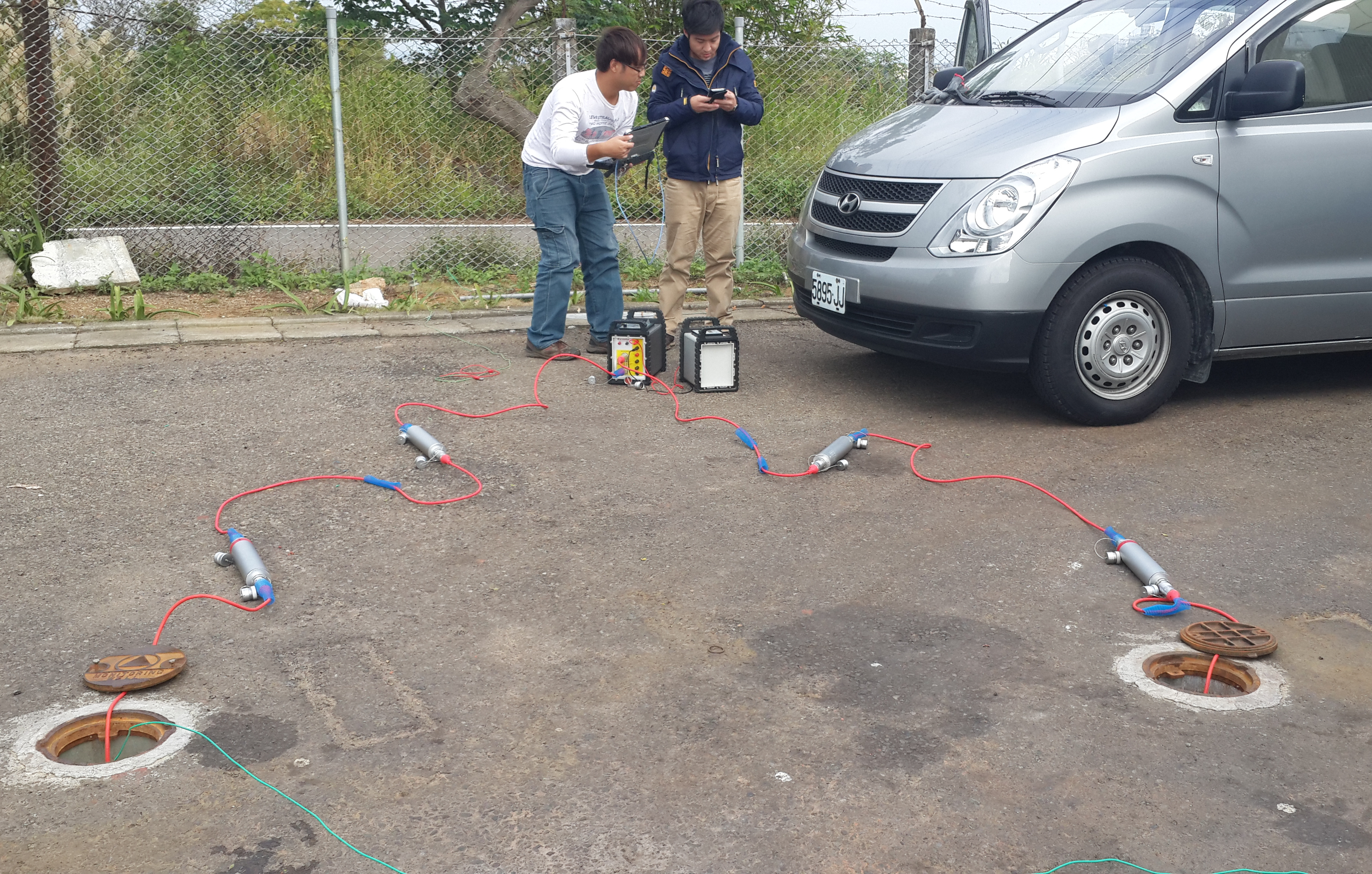
  • Cross‑hole investigation
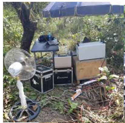
  • Hydrogeological Survey
  • Engineering Geology Investigation
  • Subsurface Environmental Monitoring

Service & Support

  • Knowledge Base
  • FAQ
  • Document Downloads
  • Drivers & Software
  • Warranty Policy
  • Contact Support

copyright@2026 Geomative Co., Limited

Privacy PolicyTerms of UseSitemap
  1. Home
  2. Products
  3. Airborne and Ground Magnetometers
  4. GPM-10&GPM-10G

GPM-10&GPM-10G

GPM-10&GPM-10G
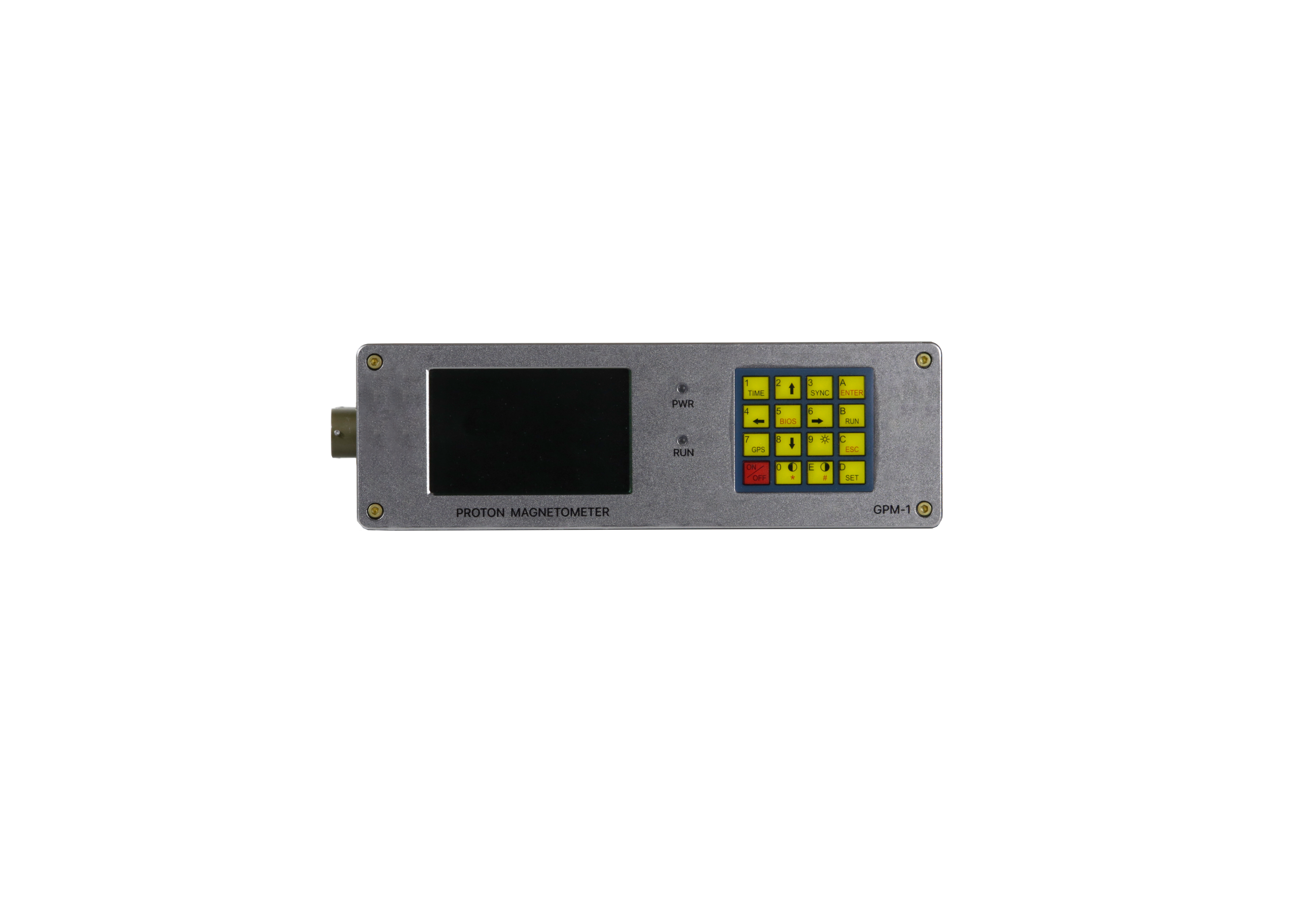
The proton magnetometer measures the total-field intensity of the Earth's magnetic field based on the proton precession principle, featuring high sensitivity, wide dynamic range, and low power consumption. The system supports both total-field measurement and horizontal/vertical gradient measurement modes; with an external GNSS it achieves positioning and high-precision timing, and is widely used in mineral exploration, geological mapping, engineering investigation, environmental geological surveys, and as a ground diurnal-variation station for airborne/marine magnetic surveys.

Product Overview

Functions

The GPM-10 proton magnetometer supports measurement of the Earth's magnetic total-field intensity and horizontal/vertical gradient measurement; with an external GNSS it achieves positioning and timing (accuracy 30 ns); it supports dual modes of mobile continuous survey (Walking Mag) and base-station diurnal-variation observation; it features RS-232 remote control, USB flash drive data export, and a Chinese operation interface; the sampling rate is selectable at 3–60 s (mobile mode) / 3–3600 s (base-station mode). The product is available in two models: GPM-10 (standard) and GPM-10G (gradient).

Measurement Parameters

Sensitivity 0.05 nT, resolution 0.01 nT, absolute accuracy ±0.1 nT, dynamic range 20000–120000 nT, gradient tolerance >5000 nT/m, sampling rate 3–60 s (mobile mode) / 3–3600 s (base-station mode); main unit dimensions 220×70×175 mm / 1.5 kg; operating temperature −40℃~+60℃; storage 8 GB; positioning & timing accuracy 30 ns (external GNSS); data export via USB flash drive; remote control via RS-232.

Product Gallery

Ordering Information

GPM-10GPM-10G

Powered by DIGspace

Raw data processing capabilities: Waveform viewing, recalculation with automatic bad-point removal 2D-to-1D conversion Array/device merging Online inversion
Platform capabilities: Project and data management Real-time 3D visualization Online inversion
  • Learn more about the DIG Space geophysical digitalization platform…

  • Register a DIG Space account to receive 50 GeoCoins and start your DIG Space exploration journey…

Application Cases

Mineral Resource Exploration

Mineral Resource Exploration

Online Monitoring

Online Monitoring

Cross‑hole investigation

Cross‑hole investigation

Hydrogeological Survey

Hydrogeological Survey

Engineering Geology Investigation

Engineering Geology Investigation

Subsurface Environmental Monitoring

Subsurface Environmental Monitoring

View more

Key Selling Points

01
Innovation

1

02
Innovation

2

Technical Specifications

ParametersGPM-10 StandardGPM-10G Gradient
Sensor ConfigurationSingle sensor (total field)Dual sensors (gradient)
Measurement ModeTotal-field measurementTotal field + horizontal/vertical gradient
Resolution0.01nT0.01nT
Sensitivity0.05nT0.05nT
Dynamic Range / Range20000~120000nT20000~120000nT
Gradient Tolerance>5000nT/m>5000nT/m
Sampling Rate3~60s/3~3600s3~60s/3~3600s
Positioning & TimingExternal GNSS 30 nsExternal GNSS 30 ns
Data Storage / Output8 GB memory8 GB memory
Operating Temperature-40℃~+60℃-40℃~+60℃
Main Unit / Payload Weight1.5kg1.5 kg (×2 sensors)
Protection RatingIP65IP65
System Power ConsumptionRechargeable lithium batteryRechargeable lithium battery
Max Take-off / Flight Altitude——
Max Flight Speed——
Post-processing Comp. Std. Dev.——
Daily Survey EfficiencyTens of km (Walking Mag)Tens of km (Walking Mag)

Accessories and Attachments

Second probe for the GPM-10G gradient magnetometer, used together with the standard sensor to form a horizontal or vertical gradient measurement setup.

Specifications: Φ70×140 mm, double-coil reverse-series

Material: Aluminum alloy housing + proton sensor core

Protection rating: IP65

Weight: approx. 1 kg

Features: Sensitivity 0.05 nT, resolution 0.01 nT

Ordering Information

Material CodeModelProduct NameStructure TypeCore MaterialPrimary Use
M-MAG02GPM-SENSOR-EXTExpansion Sensor (for Gradient)Double-coil reverse-seriesAluminum alloy + proton coreSecond gradient-measurement probe

Fixed connection between the sensor and the aluminum-rod bracket, supporting quick assembly and disassembly.

Specifications: Aluminum alloy

Features: Lightweight and stable, quick to assemble/disassemble

Ordering Information

Material CodeModelProduct NameSpecificationsAppearance MaterialPrimary Use
M-MAG04GPM-ROD-CONNBracket ConnectorAluminum AlloyAluminum AlloySensor-to-bracket fixing

For extended-distance signal transmission between the main unit and the sensor, suitable for long-term base-station observation or special working conditions.

Specifications: Shielded cable

Material: Tinned-copper braided shield + TPU outer jacket

Protection rating: IP65

Length: 5 m / 10 m optional

Ordering Information

Material CodeModelProduct NameSpec LengthConnector TypeTransmission FunctionApplication Scenario
M1.4002GPM-CABLE-5Sensor Cable (5 m)5mWaterproof aviation connectorMagnetic field signal transmissionLong-distance sensor connection
M1.4003GPM-CABLE-10Sensor Cable (10 m)10mWaterproof aviation connectorMagnetic field signal transmissionLong-distance base-station observation

For a single operator to carry the GPM-10 main unit, sensors, and accessories during Walking Mag continuous acquisition.

Specifications: Backpack

Material: Waterproof nylon

Features: Lightweight and comfortable, multi-point fixation, ample capacity

Ordering Information

Material CodeModelProduct NameSpecificationsAppearance MaterialPrimary Use
M6.5001GPM-BACKPACKField BackpackLarge capacityWaterproof nylonSingle-operator Walking Mag operation

For marking survey-point locations, facilitating subsequent re-measurement and data verification.

Specifications: Telescopic

Material: Aluminum alloy

Features: Lightweight and portable, clear marking

Ordering Information

Material CodeModelProduct NameSpecificationsAppearance MaterialPrimary Use
M6.5003GPM-POLESurvey Marker PoleTelescopic 1.2 mAluminum AlloySurvey-point marking

For high-precision field positioning and timing, with timing accuracy superior to the standard configuration.

Specifications: Dual-frequency GPS/BeiDou

Material: Ceramic antenna + aluminum alloy housing

Protection rating: IP65

Accuracy: Timing accuracy 30 ns

Ordering Information

Material CodeModelProduct NameSpecificationsAppearance MaterialPrimary Use
M6.5006GPM-GPSHigh-Resolution GPS AntennaDual-frequency GPS/BeiDouCeramic + aluminum alloyPositioning & Timing

For continuous recharging in field conditions without grid power, providing sustained power replenishment for the power bank or main unit.

Specifications: Monocrystalline silicon solar panel

Material: Tempered glass + aluminum alloy frame

Protection rating: IP65

Power: 10 W / 20 W optional

Ordering Information

Material CodeModelProduct NameRated CapacityOutput VoltageEndurance TimeApplication Scenario
M7.3001SC-10WSolar Charging Panel (10 W)10W5V/2ASustained rechargingOptional for field without grid power
M7.3002SC-20WSolar Charging Panel (20 W)20W5V/4ASustained rechargingOptional for long-duration continuous observation