GD-12/22/32 1/6/12-Channel Resistivity IP Imaging System
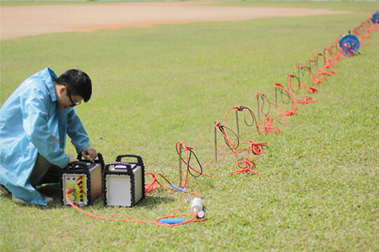
GD22 It integrates modules such as transmission, collection, control and power supply, and possesses capabilities of high-power transmission, high-precision signal collection, full waveform recording, IP induced polarization measurement, etc. Combined with professional acquisition APP and Geometa data platform, it is suitable for various scenarios of electrical exploration operations. It has a high protection level and strong environmental adaptability, and can meet the detection requirements in multiple fields such as geology, engineering and environment.
GS-30 12-Channel Electric Receiving Station
GD-10 Electrical Resistivity & IP Imaging System
The GD10 survey system adopts a modular and scalable hardware platform, enabling the collection of electrical survey data in various scenarios such as on the ground, in tunnels, and underwater. This system has brought a technological breakthrough to traditional engineering geophysical survey operations.
GD-20 Multi-channel ERT/IP Imaging System
The multi-channel collection method is more efficient and significantly reduces the construction cost.
Laboratory Electrical Workstation
Multi-electrode resistivity imaging for versatile subsurface investigations.
DIGspace Platform
Integrating geological, geophysical, and monitoring data into a unified subsurface cognition system. Deep analysis on desktop, collaboration on web.
A 3D geospatial platform fusing multi-source survey data with surface spatial information — covering exploration analysis and long-term monitoring.
Brazil Gold Ore Exploration Case
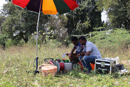
Carry out geophysical exploration for sulfate zones with potential metal mineral resources in ESTADO DO PARÁ, Brazil, and locate metal ore deposits by electrical prospecting technology.
Underground water and mineral exploration at Beishan Lead-Zinc Mine, Hechi, Guangxi
Integrated geophysical solutions for mineral prospecting.
Geomative provides customized geophysical solutions for core industry sectors — combining advanced instrumentation, the Geometa data platform, and deep industry expertise to solve your most challenging subsurface exploration problems.
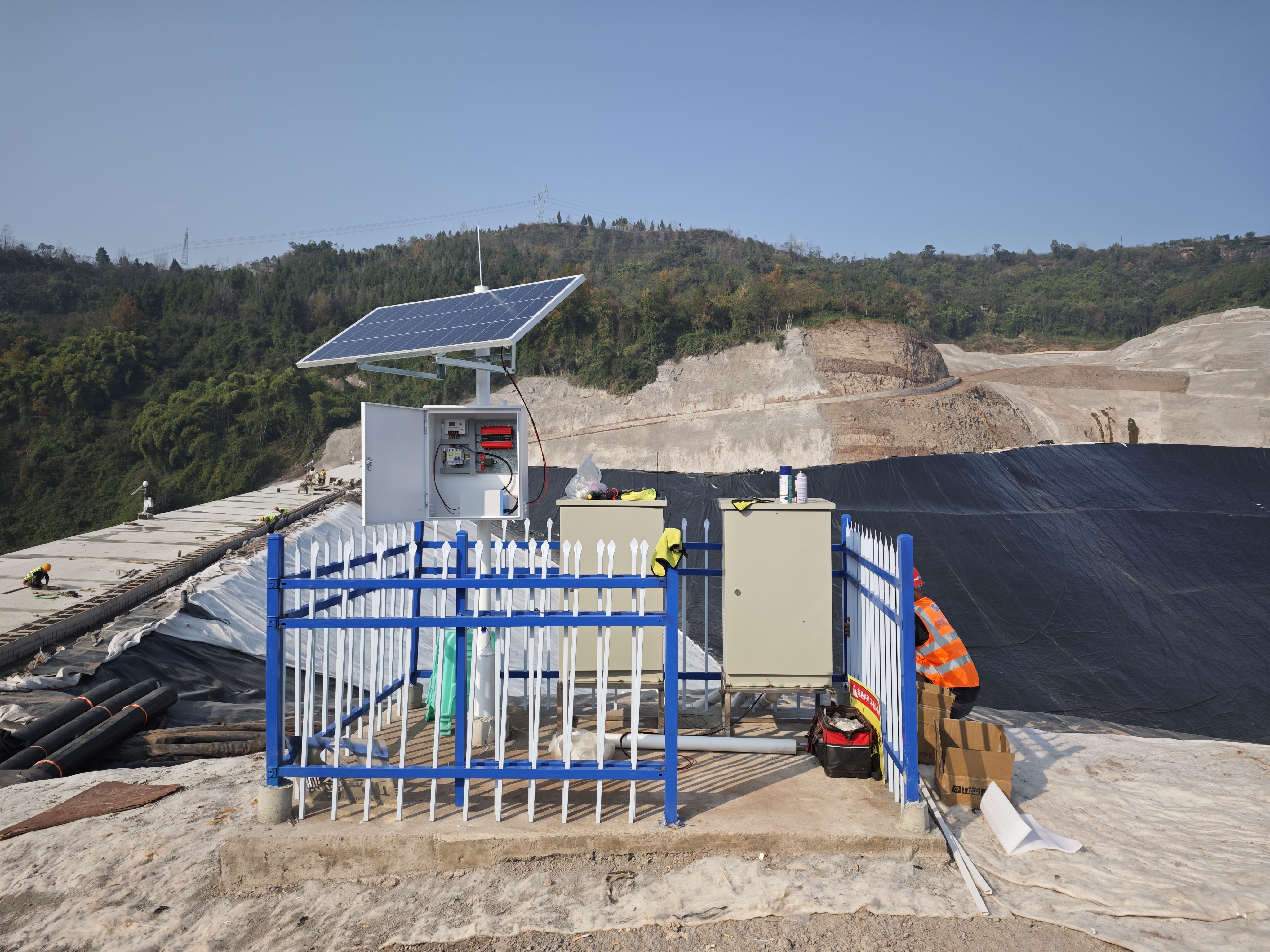
Geomative’s online monitoring business adopts sensor acquisition and wireless transmission technology to realize 24‑hour in‑situ data collection, transmission and risk monitoring and early warning for dams, tailings ponds, slopes and hydrogeological parameters of groundwater.
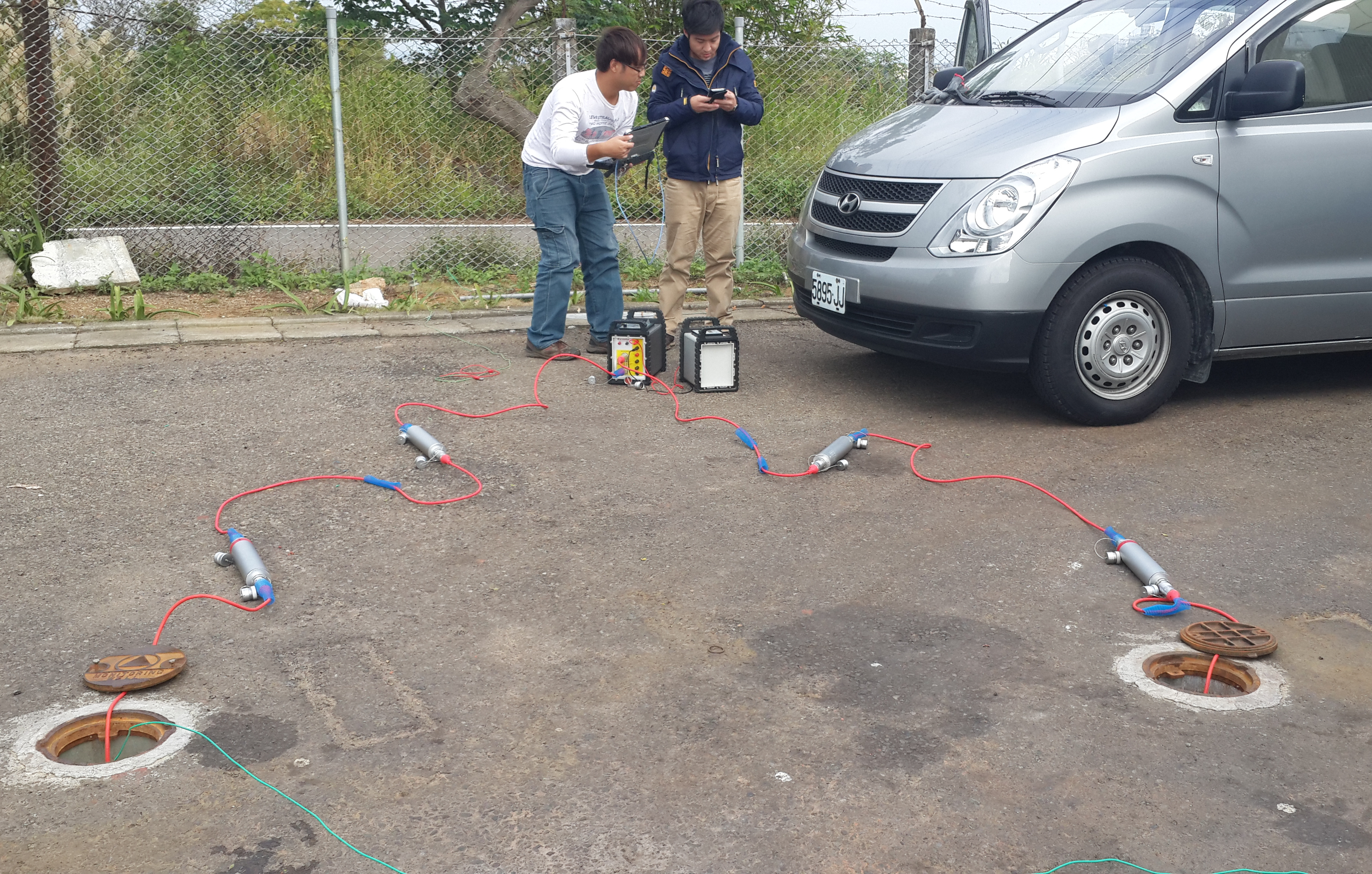
Cross‑hole investigation is an in‑situ exploration technology that conducts geophysical measurements or in-situ tests between two or more boreholes to obtain information on subsurface stratigraphy, aquifers, and geological parameters between boreholes.
End-to-end geophysical solutions for groundwater exploration.
Geophysical investigation solutions for foundation assessment.
Continuous geophysical monitoring solutions.