Geomative
  • Products
    • Resistivity and IP Tomography
    • Electromagnetic
    • Integrated Well Logging System
    • Airborne and Ground Magnetometers
    • Subsurface Environmental Monitoring System
    GD-12/22/32 1/6/12-Channel Resistivity IP Imaging System

    GD-12/22/32 1/6/12-Channel Resistivity IP Imaging System

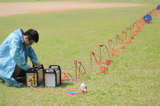
    GD22 It integrates modules such as transmission, collection, control and power supply, and possesses capabilities of high-power transmission, high-precision signal collection, full waveform recording, IP induced polarization measurement, etc. Combined with professional acquisition APP and Geometa data platform, it is suitable for various scenarios of electrical exploration operations. It has a high protection level and strong environmental adaptability, and can meet the detection requirements in multiple fields such as geology, engineering and environment.

    GS-30 12-Channel Electric Receiving Station

    GS-30 12-Channel Electric Receiving Station

    GD-10 Electrical Resistivity & IP Imaging System

    GD-10 Electrical Resistivity & IP Imaging System

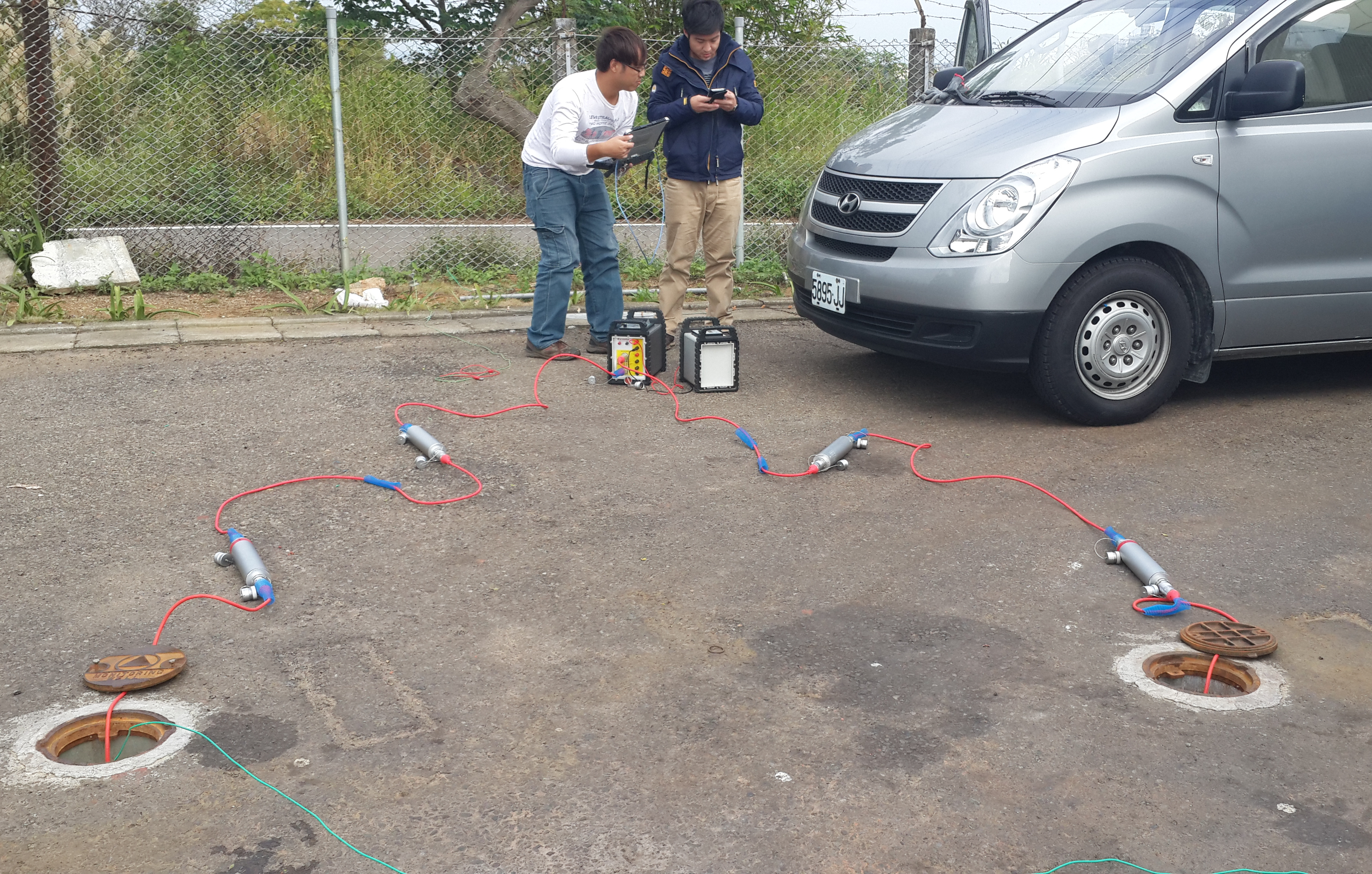
    The GD10 survey system adopts a modular and scalable hardware platform, enabling the collection of electrical survey data in various scenarios such as on the ground, in tunnels, and underwater. This system has brought a technological breakthrough to traditional engineering geophysical survey operations.

    GD-20 Multi-channel ERT/IP Imaging System

    GD-20 Multi-channel ERT/IP Imaging System

    The multi-channel collection method is more efficient and significantly reduces the construction cost.

    Laboratory Electrical Workstation

    Laboratory Electrical Workstation

    Multi-electrode resistivity imaging for versatile subsurface investigations.

    Learn more
  • DIGspace
    • DIGspace
    • Platform Fundamental Ability
    • Technical Methods
    • Applications
    • trial application & download
    DIGspace Platform

    DIGspace Platform

    Integrating geological, geophysical, and monitoring data into a unified subsurface cognition system. Deep analysis on desktop, collaboration on web.

    A 3D geospatial platform fusing multi-source survey data with surface spatial information — covering exploration analysis and long-term monitoring.

    Learn more
  • Solutions
    • Mineral Resource Exploration
    • Online Monitoring
    • Cross‑hole investigation
    • Hydrogeological Survey
    • Engineering Geology Investigation
    • Subsurface Environmental Monitoring
    Brazil Gold Ore Exploration Case

    Brazil Gold Ore Exploration Case

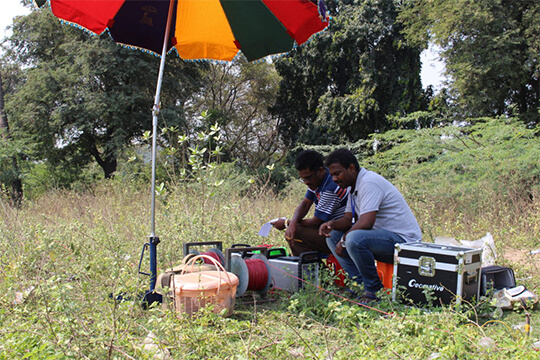
    Carry out geophysical exploration for sulfate zones with potential metal mineral resources in ESTADO DO PARÁ, Brazil, and locate metal ore deposits by electrical prospecting technology.

    Underground water and mineral exploration at Beishan Lead-Zinc Mine, Hechi, Guangxi

    Underground water and mineral exploration at Beishan Lead-Zinc Mine, Hechi, Guangxi

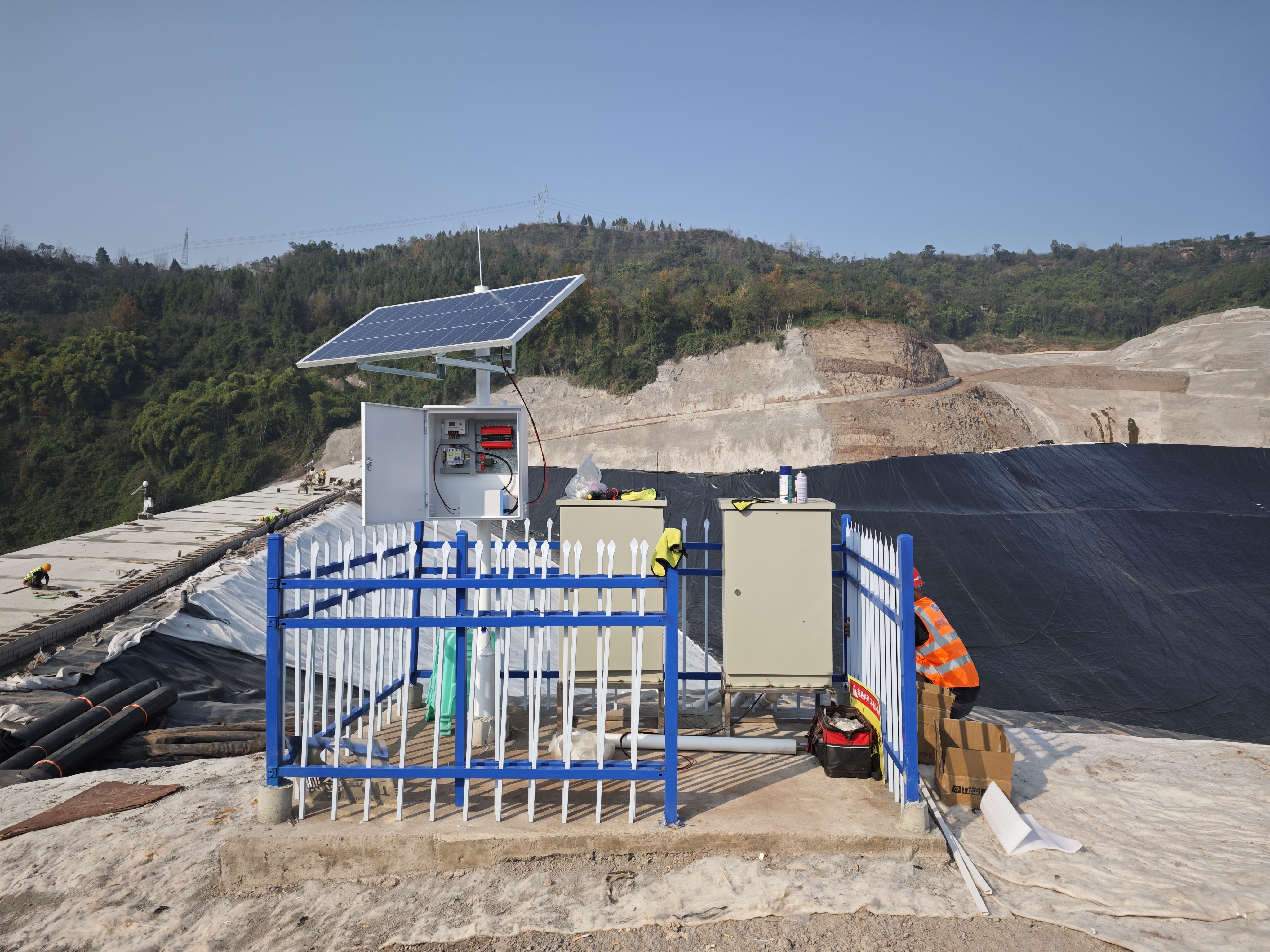
    Integrated geophysical solutions for mineral prospecting.

    Learn more
  • Support
  • About Us
中文Talk to an Expert
  • Products
  • DIGspace
  • Solutions
  • Support
  • About Us
Geomative

A provider of spatial intelligence technology and equipment, serving surveying, energy, transport and emergency response with fully self-developed hardware and software.

Products

  • Resistivity and IP Tomography
  • Electromagnetic
  • Integrated Well Logging System
  • Airborne and Ground Magnetometers
  • Subsurface Environmental Monitoring System

Industries

  • Mineral Resource Exploration
  • Online Monitoring
  • Cross‑hole investigation
  • Hydrogeological Survey
  • Engineering Geology Investigation
  • Subsurface Environmental Monitoring

Service & Support

  • Knowledge Base
  • FAQ
  • Document Downloads
  • Drivers & Software
  • Warranty Policy
  • Contact Support

copyright@2026 Geomative Co., Limited

Privacy PolicyTerms of UseSitemap
  1. Home
  2. Products
  3. Resistivity and IP Tomography
  4. GS-30 12-Channel Electric Receiving Station

GS-30 12-Channel Electric Receiving Station

GS-30 12-Channel Electric Receiving Station
The GS Series is a new-generation, high-performance receiver platform built for the next wave of electrical exploration, covering methods such as high-density electrical resistivity tomography (ERT), induced polarization (IP), self-potential (SP) and controlled-source audio-frequency magnetotellurics (CSAMT). Designed around high channel density, a wide dynamic range and low-noise synchronous acquisition, a single main unit can connect more than a thousand electrodes; together with distributed cable heads it delivers large-scale 2D/3D resistivity tomography, making it suitable for deep mineral exploration, geothermal and oil & gas prospecting, fine-scale detection of urban underground space, major engineering geological surveys and long-term online monitoring.

Product Overview

Functions

The GS Series supports synchronous acquisition across the SP/ERT/IP/CSAMT methods. Built on a modular multi-channel architecture, it spans three models: the portable GS-5 (48 channels), the vehicle-mounted GS-10 (96 channels) and the base-station GS-20 (192 channels). It provides GPS/BeiDou timing synchronization, 4G/wired remote monitoring, mobile APP acquisition and Geometa cloud platform data management, and works with DigSpace for waveform viewing, automatic bad-point removal, online inversion and 3D visualization.

Measurement Parameters

Dynamic range ≥160 dB, noise floor ≤0.5 μV, voltage measurement range ±2.5 V / ±80 V / ±600 V (multi-range adaptive), voltage accuracy 0.1% ± 0.3 μV, 24-bit A/D conversion, input impedance ≥200 MΩ; transmit power 7.2 kW (standard) / 15 kW (optional booster), max transmit voltage 1500 V, max transmit current 10 A; pulse width 0.5~256 s; channels 48/96/192; full-waveform sampling supported at 33 kHz; storage ≥32 GB; operating temperature -20 °C ~ +60 °C.

Powered by DIGspace

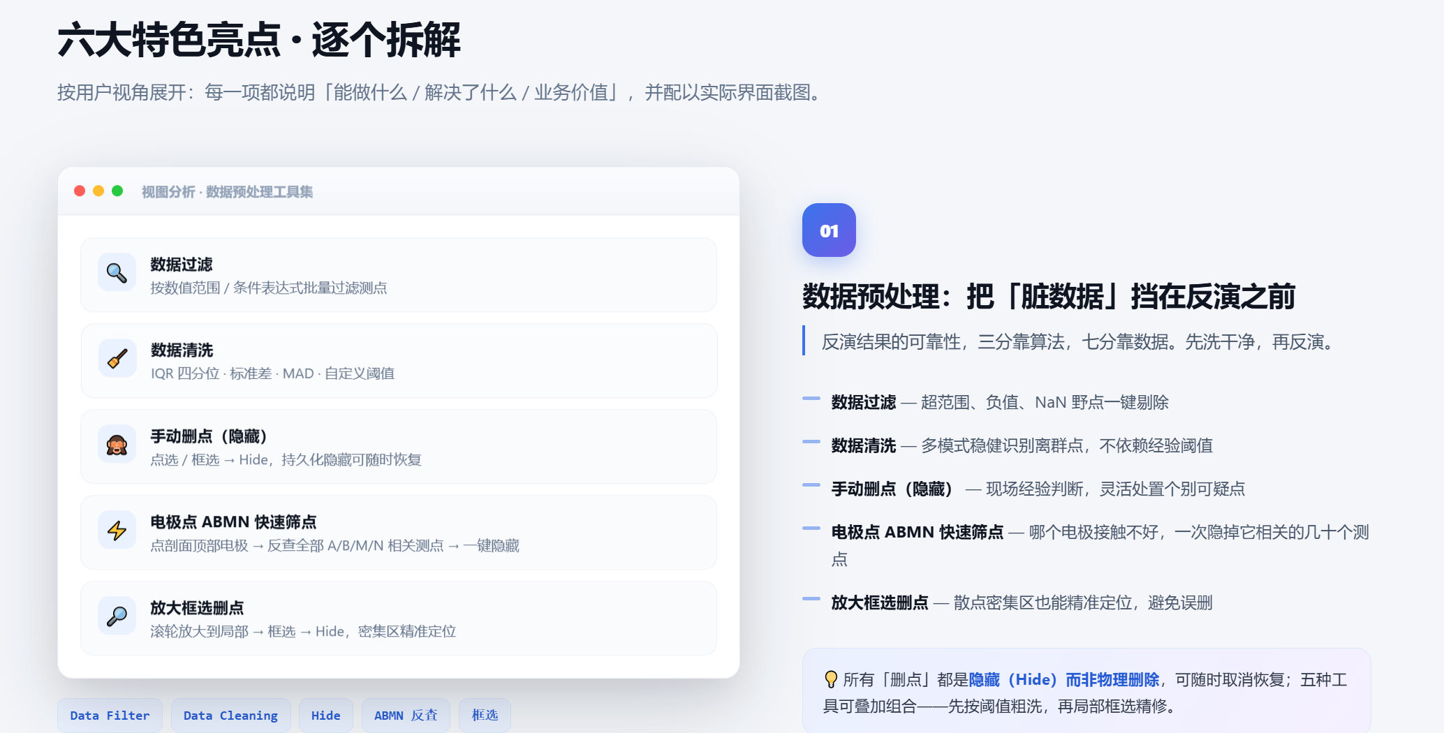
Raw-data processing capabilities: Waveform viewing; recalculation with automatic bad-point removal 2D-to-1D conversion Array merging Online inversion
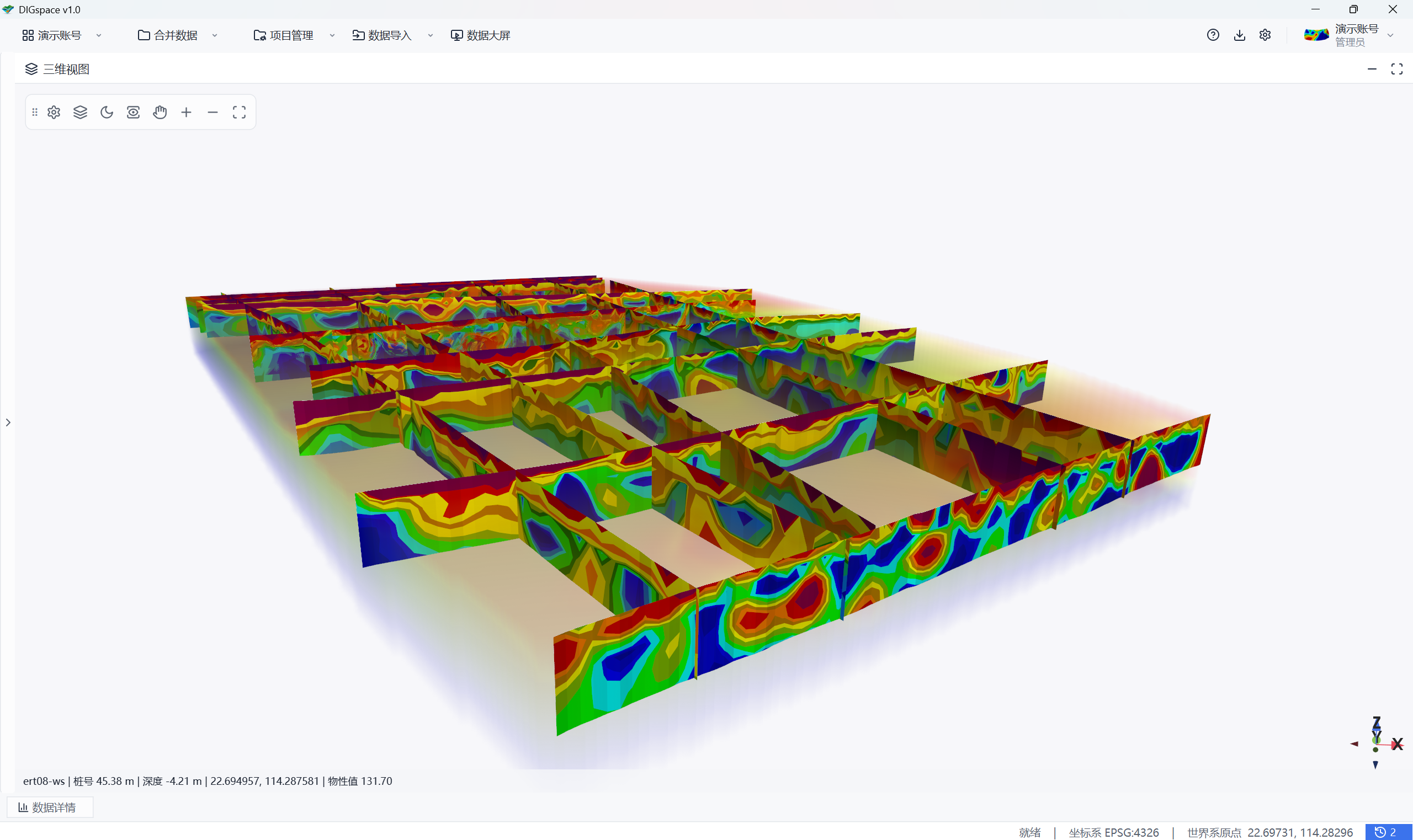
Platform capabilities: Project and data management Real-time 3D display Online inversion
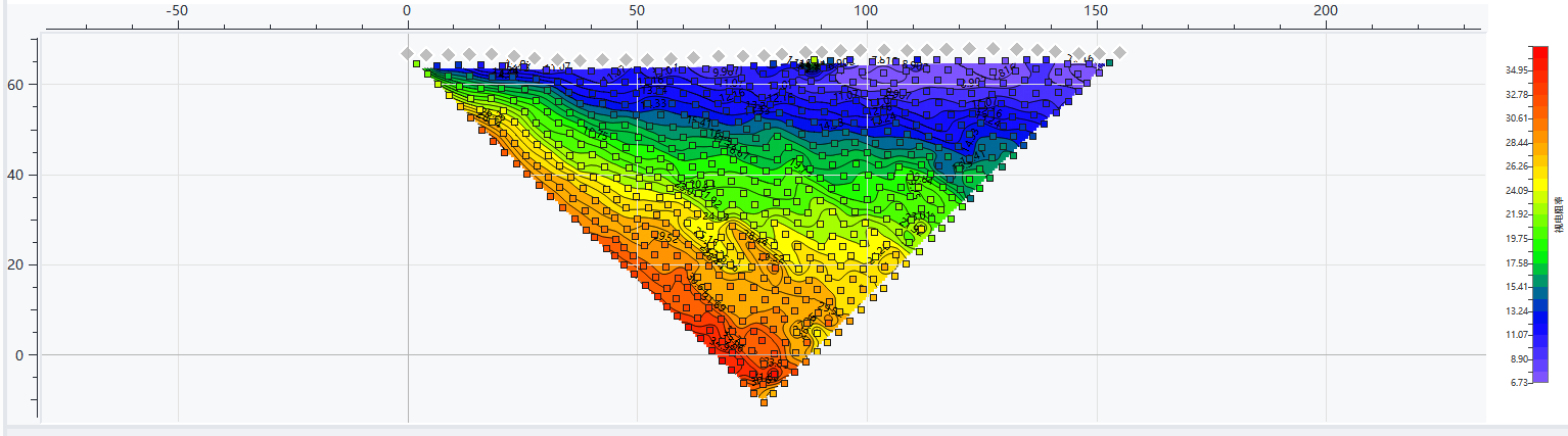
  • Learn more about the DIG Space geophysical digitalization platform...

  • Register a DIG Space account to get 50 GeoCoins and start your DIG Space exploration...

Application Cases

Mineral Resource Exploration

Mineral Resource Exploration

Online Monitoring

Online Monitoring

Cross‑hole investigation

Cross‑hole investigation

Hydrogeological Survey

Hydrogeological Survey

Engineering Geology Investigation

Engineering Geology Investigation

Subsurface Environmental Monitoring

Subsurface Environmental Monitoring

View more

Key Selling Points

01
Innovation

1

02
Innovation

2

Technical Specifications

GS-30
—