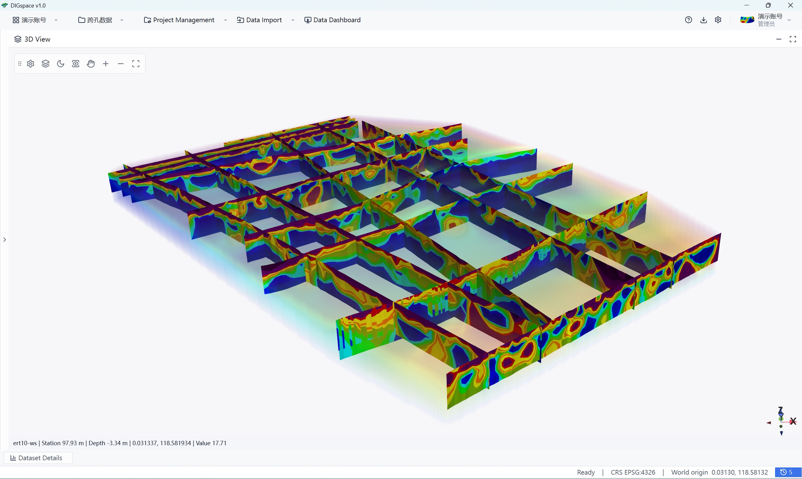
Covering mainstream exploration methods, each with a complete pipeline from data import to deliverable.
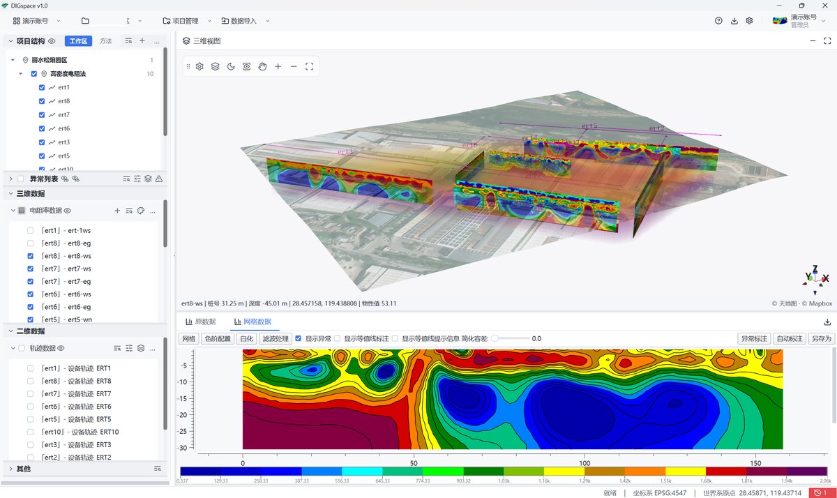
From edge acquisition, direct GD-device connection and proprietary online inversion, to scatter-point QC, mesh blanking, moisture-content and phreatic-line interpretation, and 3D deliverables — the complete ERT loop, with no third-party inversion software.
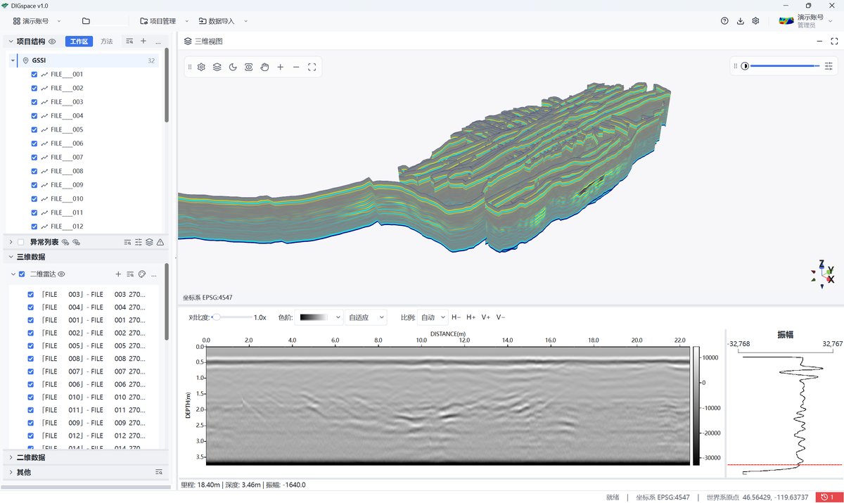
Multi-brand radar-format compatibility, node-based processing chains and GPS track QC — from import and processing to depth slices and 3D interpretation, with the DIGspot field app completing the anomaly re-survey loop.