


To investigate subsurface geological structure associated to highland brine groundwater occurrence by 2D resistivity scanning technique
1、may be useful for local salt production in future effective management
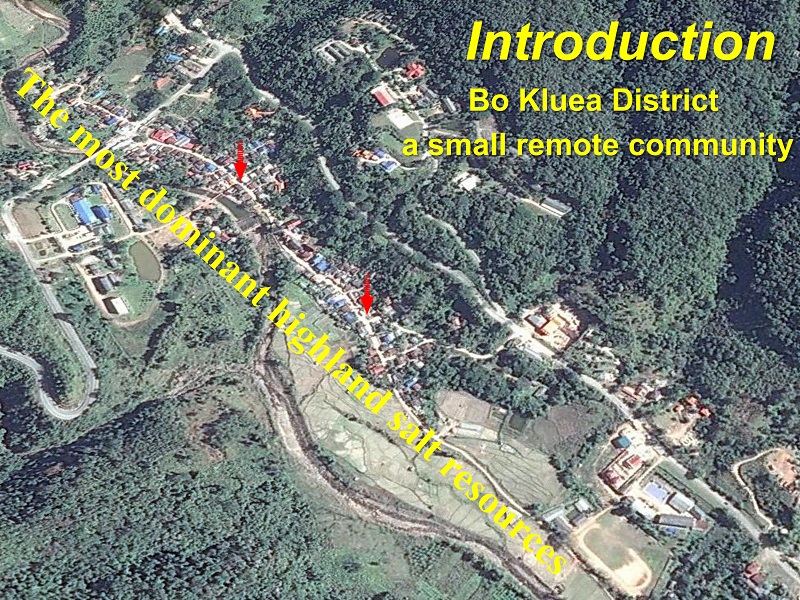
2、the knowledge of highland salt occurrence for people (tourist)


nterpretation subsurface geology structure identified with different of resistivity value Brine groundwater : Very Low Resistivity (<2 Ω-m);Sediments / Groundwater : Low Resistivity (5-30 Ω-m) clay and mud with moisture contain.
Sandstone Layer (in different formation) : Moderated to
High Resistivity (50-200 Ω-m) : different Sandstone.


Salt from BK formation (Deep level) structural control NE-SW location drilling for fresh GW shallow (from SS1)Brine GW at Fualt zone (Deeper)


Industry-leading geophysical equipment and service provider supplier


