


Nepal is among the richest in terms of water resource availability and it is one of the most important natural resource of the country. Water resources are abundant throughout the country in the form of snow covers, rivers, springs, lakes, and groundwater. Despite the large availability, access of water is not so easy and equal for all population of the country. Rugged and difficult terrain, deep river valleys, sparsely distributed settlements and poorly developed infrastructures are the major factors that deprive the easy and equal access to water. Groundwater is not found everywhere. Lithological layers consisting of coarse grains of sediments like sands, gravels form good reservoir or aquifer but layers containing of finer grains of sediments like silts, clay do not form good reservoir or aquifer. Such layers may contain water in them but cannot move from them easily due to lack of permeability. Similarly, there is less chance for groundwater to be trapped in the hard-compact rock terrain, but good chance exists in fractured, jointed rocks. Groundwater is the most convenient and important source of water in Terai region, Dun Valleys and some of Inter Mountain Basins like Kathmandu and Pokhara, there is need of accessing the very source in the hilly and mountainous regions as well. Since ancient time, most of the people in the mountainous area depend up on Kuwa, Pandhera, Nwalo etc. for Drinking water. This kind of water source is the form of groundwater which is the Spring Water. Hence to increase the chance of success of groundwater exploitation (Drilling), a prior study employing suitable scientific method is to be conducted in the area under consideration. For the assessment of groundwater potential (hydro-geological) condition of the area and to locate the probable area before drilling, Groundwater potential study along with Geophysical Investigation (Electrical Resistivity Survey) is desirable. So, the municipality has appointed Himalayan Earth Science Research Center and Solution Pvt. Ltd as a consultant for carrying out Groundwater potential study.
The field visit program for the Geophysical Survey (VES) was conducted by the team comprising of Geophysicist, Geologist, Technical Assistants and Local Labors.
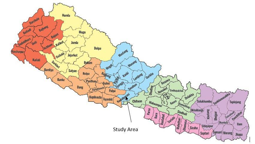
The present study area is located at the ward no. 3 of the Nawalpur East District Provision No. 4, Nepal. Figure 1 shows the location map of the study area. The Geographical location of the central point of the study area for VES is 27°41'3.07"N, 84°12'9.15"E and 194 amsl. The site is easily accessible by the black topped road, feeder road to Mahendra Highway.
In ward no. 3 of Devchuli Municipality of Nawalpur East District, Provision No.4 Vertical Electrical Sounding was carried out for the purpose of extraction of groundwater for irrigation. The main objective of the present geophysical exploration is to get hydrogeological information of the area so that one will be able to decide whether or not groundwater may be exploited for irrigation. In order to meet the objectives, the scopes of works are as follows:
Review and conduct general geological survey of the area
Carryout Resistivity survey (VES) is the given area
Compute, analyze and interpret the field data with computer added software.
Make suggestion and recommendations on hydrogeological condition through geophysical, geological observations.
Figure 1 Location Map of the Study area


Industry-leading geophysical equipment and service provider supplier


