


Barangay Concepcion Banahaw, Sariaya, Quezon needs to drill a water well at its jurisdiction and it also wants to know the best location to drill and up to what depth the drilling should be. In order to satisfy this requirement Geo-i Consultancy was called to task to conduct a groundwater investigation and georesistivity survey under the auspices of the barangay government of Bgy. Concepcion Banahaw.
In this project all the potential water sources such as groundwater, surface water, and rainwater, were evaluated in terms of both quantity and quality. Groundwater source was given particular attention because of ease and simplicity of operation.
Whatever water source will be available for the project, storage and pumping are necessary and therefore proper location and sizing of the storage tanks and deepwells and pumps must be considered during the planning and construction phase.
The water well scheduled for drilling shall be located inside Bgy. Concepcion Banahaw on a donated lot. The investigation was conducted to include the areas outside the boundaries of the donated lot. The investigation intends to determine the presence of water-bearing formation within and the immediate vicinity of the donated lot and at what probable depth groundwater can be encountered.
The investigation was undertaken through the following activities:
a. Spring source inventory
b. Surface water source inventory
c. Evaluation of rainfall pattern in Sariaya, Quezon.
d. Hydrogeological investigation of geologic rock formation
Well drilling may be considered as the primary water supply source for the project. There are wells that already produce groundwater at the vicinity of the Project Site, but apparently no record of well production and discharge rate are available for reference. There are also some wells drilled but did not produce groundwater.
Although there is a river (Quiapo River) near the Project Site, this surface water source is not recommended because of the high cost involved in constructing intake structure and water treatment to operate a surface water system.
To be able to establish the location that has potential to produce groundwater, seven (7) vertical electrical soundings (VES), or georesistivity (apparent resistivity), were measured within the Project Site as shown in Figure 1.
After the georesistivity survey, the raw field data were analyzed and interpreted utilizing a software specifically for the interpretation of the georesistivity field data.
We are looking at low resistivity values from about 10 to 100 ohm.m where water-bearing formation may be drilled to extract groundwater. However, the true discharge rate or flow rate of the well can only be determined after drilling and pump testing of the well.
From the interpretation, the true resistivity and thickness of the various lithologic (rock formation) in the area were estimated, Figure 2 shows the cross-sections at selected areas within the Project Site. Figure 3 outlines the most favorable areas for deep well drilling.

Fig. 1 Project Site Showing VES Points

Fig. 2 Cross-Section Along Sar-01 to Sar-04

Fig. 3 Recommended Areas for Deep Well Drilling
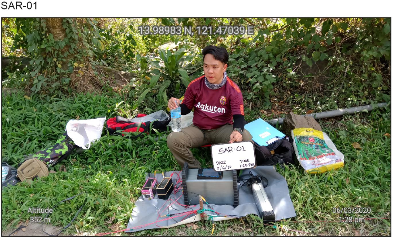
Photographs from the Field


There are three priority areas recommended for well drilling in the area, Priority Site 1, Priority Site 2, and Priority Site 3. Any lot located within 100m radius from the center of Sar-03 and Sar-02 will give good results. Areas within the green zone, i.e., between Sar-02 to Sar-04 can be another site for future expansion.
Priority Site 1 is located around VES Sar-03. It has about 70m thickness of permeable formation that can possibly host groundwater. Drilling to about 90m within this area is recommended.
Priority Site 2 is located around VES Sar-02. An estimated thickness of permeable formation at this site can reach almost 40m. Drilling up to 60m is recommended for this area.
Priority Site 3 can be tapped for future drilling should additional wells will be required. Drilling up to 100m is recommended in this zone.
All the other VES points have no potential for deep well drilling, although handpumps with maximum depth of 15m will suffice for household use.12
The quality of groundwater is excellent. The sample taken from the well at the nearby poultry farm reads 147ppm when measured in-situ with a TDS meter. The Philippine National Standard for Drinking Water approved by DOH is 600ppm maximum value for TDS. TDS means Total Dissolved Solids, which is a measure all dissolved inorganic and organic substances combined in a water sample.
River sources are quite far from the Project Site and not recommended because of the high cost involved in constructing intake structure and water treatment to operate a surface water system.
Rainwater is also a potential source of water for the individual households but there should be provision for enough storage to store the desired volume of rainwater.


Industry-leading geophysical equipment and service provider supplier


