This project was commissioned by Gintong Tubig Engineering Venture for the Municipality of Baroy, Lanao del Norte, as a pre-requisite for the proposed funding for water well drilling project under the Salintubig Program of DILG.
The Municipality of Baroy intends to provide potable water supply to Bgy. Bato which is a mountain barangay that has no access to a reliable water source. Drilling a well from a nearby barangay that has the potential to produce the needed groundwater to satisfy the requirement of Bgy. Bato is a practical solution to this situation. This evaluation will give confirmation on the potential of Bgy. Lindongan to host a well drilling project for Bgy. Bato.
Included in this report is a georesistivity survey and interpretation of results on three (3) sites nominated by the LGU personnel; a work program for well drilling and well costing for the proposed preliminary well drilling are also included in this report.
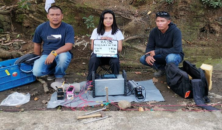
Bgy. Bato in Baroy Municipality is a mountain barangay that is deficient in water supply. It has neither spring source nor groundwater source. To be able to supply water to Bgy. Bato, the LGU of Baroy envisions to develop groundwater source at the nearby barangay (Bgy. Lindongan) that will be transmitted through pipeline to Bgy. Bato. Previous groundwater studies had
been done in the past near the area, and this is one study of similar in nature.
Georesistivity can help determine the presence of potential aquifer underground that can be drilled and developed to supply groundwater.
One well drilled to around 100m was drilled in the past in Bgy. Bato, but did not produce water at all.
In 2016 a georesistivity study in Bgy. Pindolonan was conducted but it only confirmed the absence of an aquifer that can support groundwater production.Bgy. Pindolonan is immediately southwest of Bgy.
Bato.Bgy. Lindongan located south of Bgy. Pindolonan is a more promising location in terms of groundwater resource. At present there is an operating well in the barangay that supplies water to the barangay. This is the subject of this present georesistivity study.
Three VES stations were measured in Bgy. Lindongan as shown in the figure below.
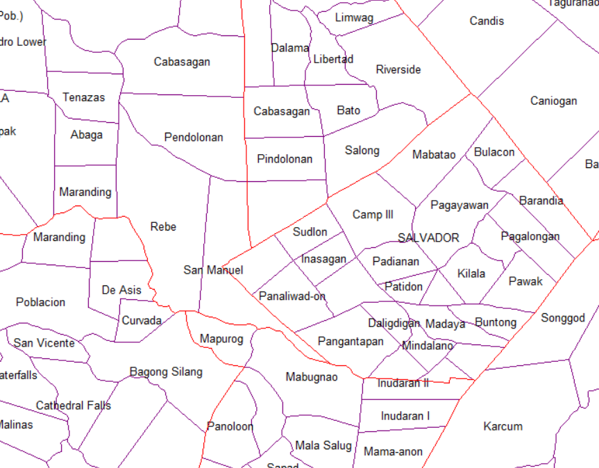
Location of Bgy. Lindongan
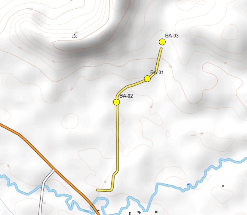
Location of VES Points
Description of VES Points
The raw fieldwork georesistivity data are given on the attachment as Annex A.
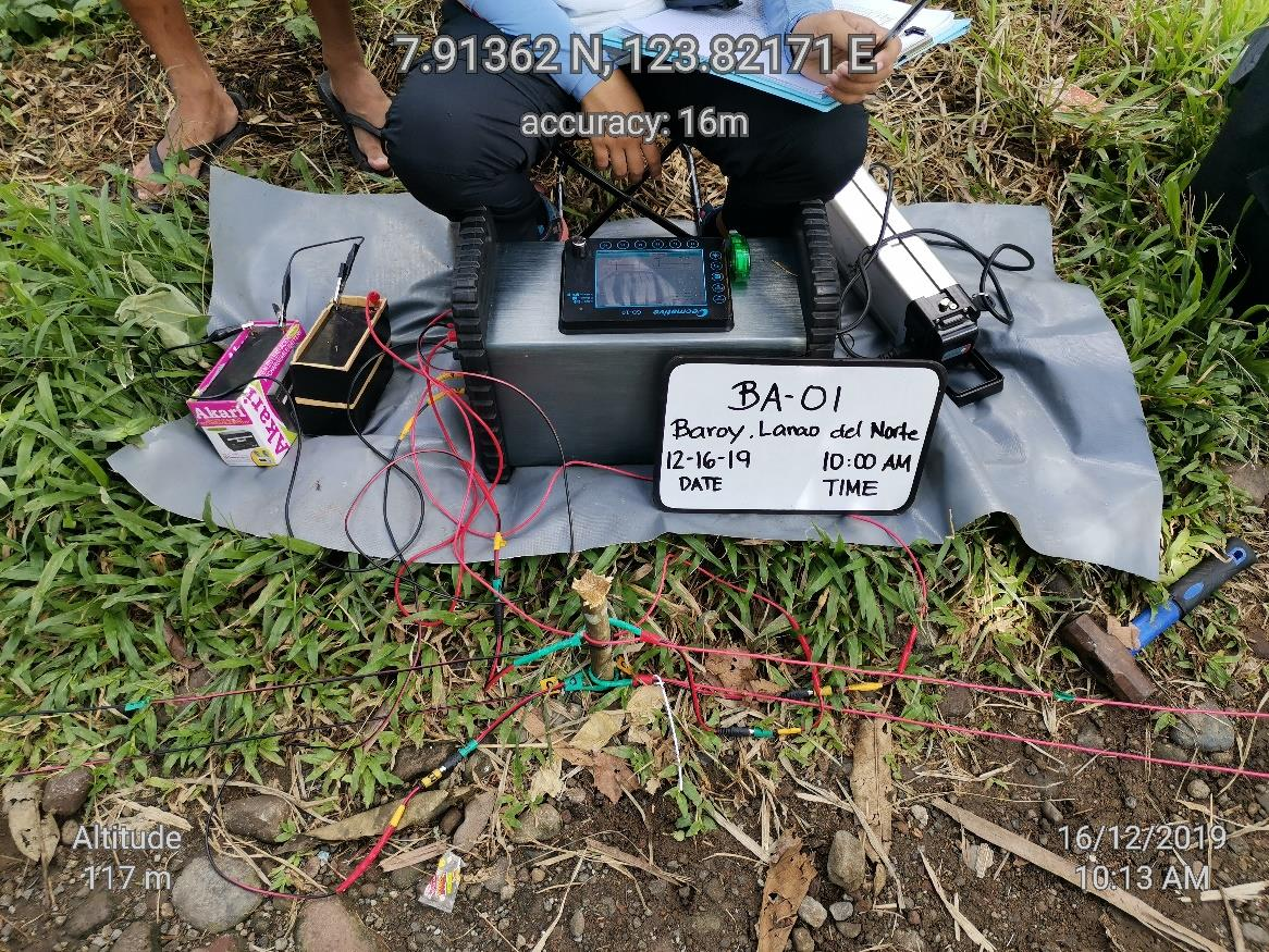
• BA-01 is located at coordinates: 7.91363oN, 123.82167oE This VES station was executed at a bearing of northeast direction with a total
wire spread of 600m. The effective depth of investigation at this station is
120m to 180m.
• BA-02 is located at coordinates: 7.91201oN, 123.81955oN
This VES station was executed at a bearing of north to northeast direction with
a total wire spread of 300m. The effective depth of investigation at this station
is 60m to 90m.
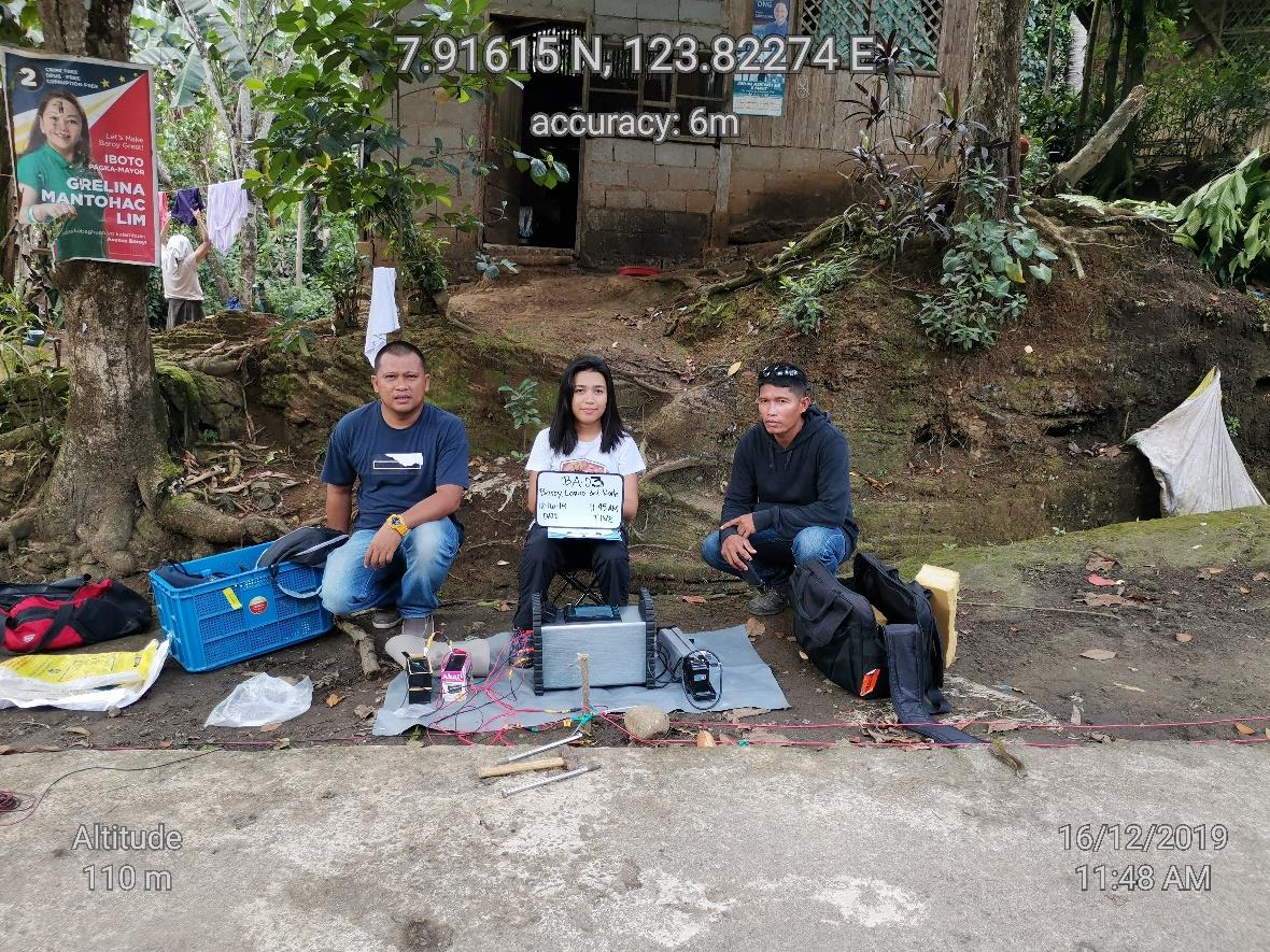
• BA-03 is located at coordinates: 7.91616oN, 123.82271oE This VES station was executed at a bearing of northeast direction with a total
wire spread of 300m. The effective depth of investigation at this station is
60m to 90m.
Interpretation of Georesistivity Measurements
BA-01
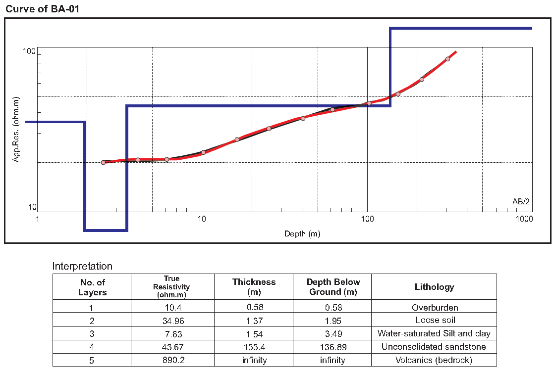
BA-01 has the potential to produce a good amount of water. Based from the interpretation
of the field georesistivity data, the identified water-bearing layer is unconsolidated
sandstone formation with a true resistivity of 43.67 ohm.m and thickness of 133.4m.
BA-02
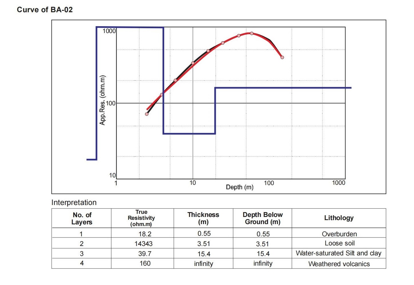
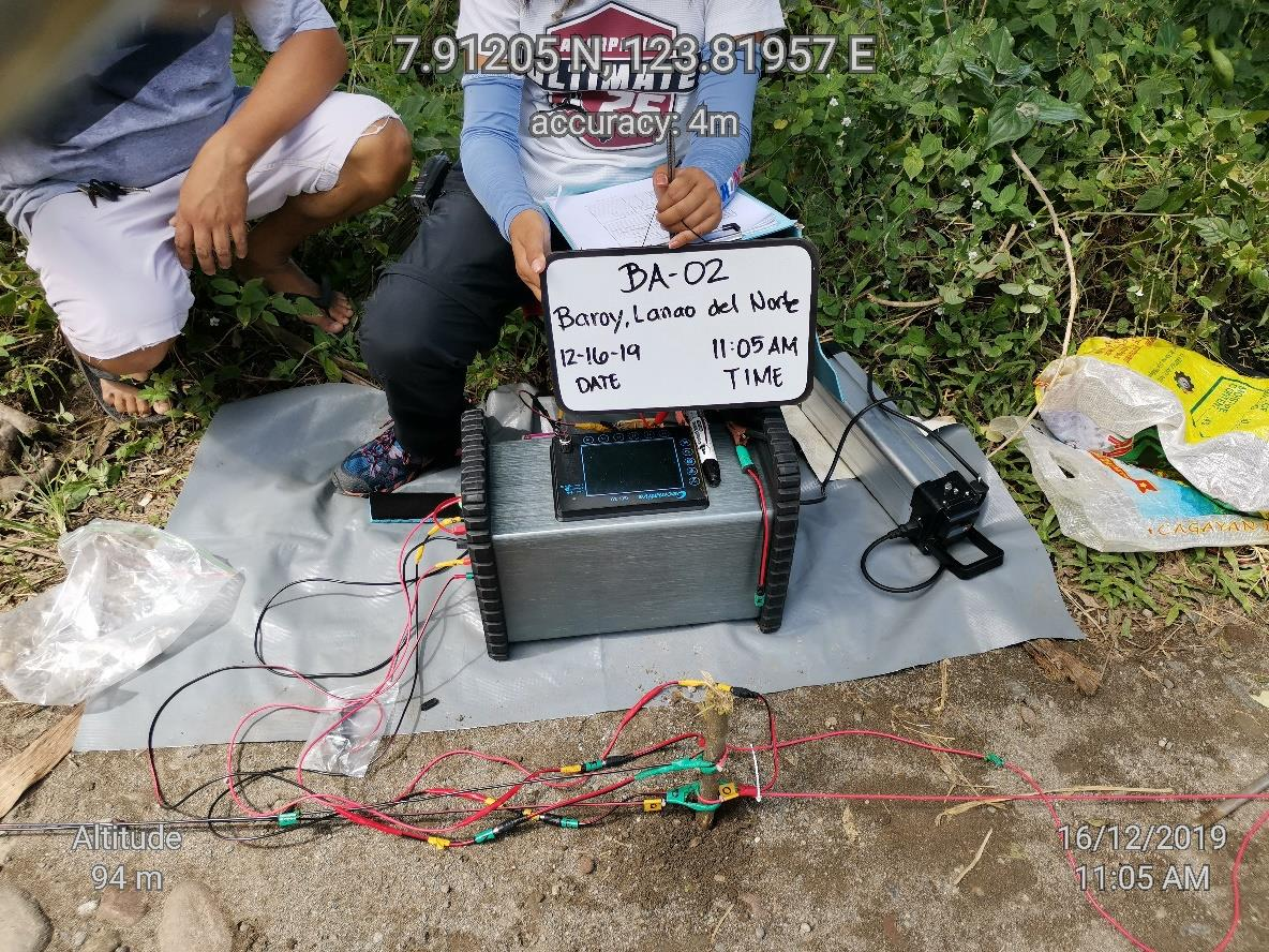
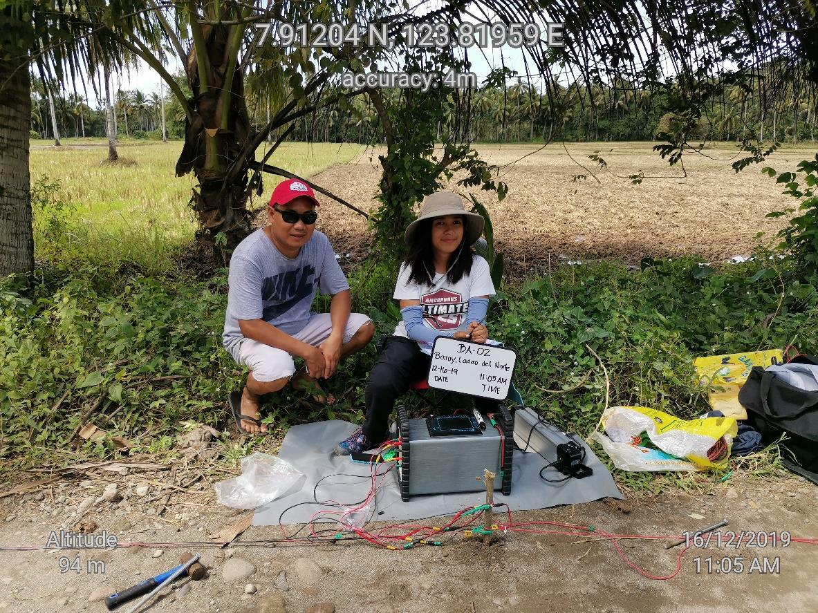
BA-02 is not a good site for deep well drilling. At best the weathered volcanics identified at below 3.51m with true resistivity value of 160 ohm.m may be good for shallow well drilling equipped with handpump, but not for high capacity pumping. In addition, its proximity to the rice field makes it vulnerable to fertilizer contamination, as can be observed from the very high resistivity of 14343 ohm.m which corresponds to loose soil affected by ionic charges probably from the long time application of chemicals and fertilizers to the rice field.
BA-03
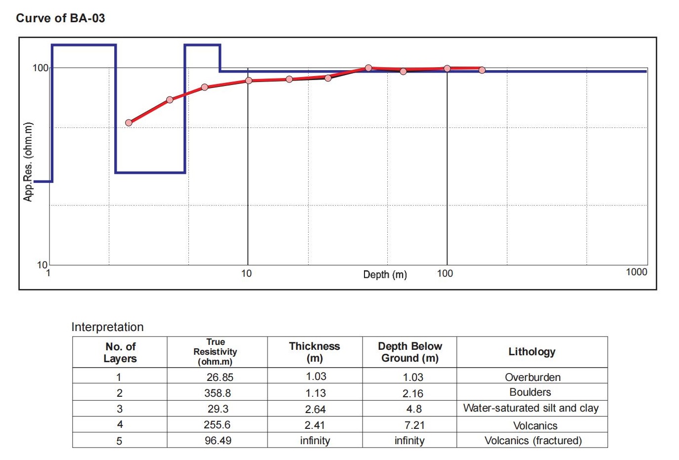
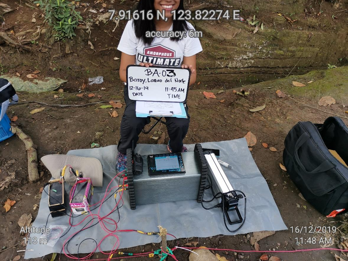
BA-03 is already near Bgy. Pindolonan where the topography ascends towards Bgy. Bato. The formation at this site is volcanic in origin and is quite a difficult area to source groundwater. There may be chances of finding groundwater at shallow depths not exceeding 5m but drilling for shallow wells using manual tools may be very difficult.
BA-01 is the best site among the three (3) VES sites measured in the area. It is located near the boundary of Bgy. Curva and Bgy. Lindongan. A preliminary well design for 120m deep well is prepared in this report together with the corresponding cost. These two documents may form part of the work program