Geomative
  • Products
    • Resistivity and IP Tomography
    • Electromagnetic
    • Integrated Well Logging System
    • Airborne and Ground Magnetometers
    • Subsurface Environmental Monitoring System
    GD-12/22/32 1/6/12-Channel Resistivity IP Imaging System

    GD-12/22/32 1/6/12-Channel Resistivity IP Imaging System

    GD22 It integrates modules such as transmission, collection, control and power supply, and possesses capabilities of high-power transmission, high-precision signal collection, full waveform recording, IP induced polarization measurement, etc. Combined with professional acquisition APP and Geometa data platform, it is suitable for various scenarios of electrical exploration operations. It has a high protection level and strong environmental adaptability, and can meet the detection requirements in multiple fields such as geology, engineering and environment.

    GS-30 12-Channel Electric Receiving Station

    GS-30 12-Channel Electric Receiving Station

    GD-10 Electrical Resistivity & IP Imaging System

    GD-10 Electrical Resistivity & IP Imaging System

    The GD10 survey system adopts a modular and scalable hardware platform, enabling the collection of electrical survey data in various scenarios such as on the ground, in tunnels, and underwater. This system has brought a technological breakthrough to traditional engineering geophysical survey operations.

    GD-20 Multi-channel ERT/IP Imaging System

    GD-20 Multi-channel ERT/IP Imaging System

    The multi-channel collection method is more efficient and significantly reduces the construction cost.

    Laboratory Electrical Workstation

    Laboratory Electrical Workstation

    Multi-electrode resistivity imaging for versatile subsurface investigations.

    Learn more
  • DIGspace
    • DIGspace
    • Platform Fundamental Ability
    • Technical Methods
    • Applications
    • trial application & download
    DIGspace Platform

    DIGspace Platform

    Integrating geological, geophysical, and monitoring data into a unified subsurface cognition system. Deep analysis on desktop, collaboration on web.

    A 3D geospatial platform fusing multi-source survey data with surface spatial information — covering exploration analysis and long-term monitoring.

    Learn more
  • Solutions
    • Mineral Resource Exploration
    • Online Monitoring
    • Cross‑hole investigation
    • Hydrogeological Survey
    • Engineering Geology Investigation
    • Subsurface Environmental Monitoring
    Brazil Gold Ore Exploration Case

    Brazil Gold Ore Exploration Case

    Carry out geophysical exploration for sulfate zones with potential metal mineral resources in ESTADO DO PARÁ, Brazil, and locate metal ore deposits by electrical prospecting technology.

    Underground water and mineral exploration at Beishan Lead-Zinc Mine, Hechi, Guangxi

    Underground water and mineral exploration at Beishan Lead-Zinc Mine, Hechi, Guangxi

    Integrated geophysical solutions for mineral prospecting.

    Learn more
  • Support
  • About Us
中文Talk to an Expert
  • Products
  • DIGspace
  • Solutions
  • Support
  • About Us
Geomative

A provider of spatial intelligence technology and equipment, serving surveying, energy, transport and emergency response with fully self-developed hardware and software.

Products

  • Resistivity and IP Tomography
  • Electromagnetic
  • Integrated Well Logging System
  • Airborne and Ground Magnetometers
  • Subsurface Environmental Monitoring System

Industries

  • Mineral Resource Exploration
  • Online Monitoring
  • Cross‑hole investigation
  • Hydrogeological Survey
  • Engineering Geology Investigation
  • Subsurface Environmental Monitoring

Service & Support

  • Knowledge Base
  • FAQ
  • Document Downloads
  • Drivers & Software
  • Warranty Policy
  • Contact Support

copyright@2026 Geomative Co., Limited

Privacy PolicyTerms of UseSitemap
  1. Home
  2. Products
  3. Electromagnetic
  4. GT-40 Borehole TEM

GT-40 Borehole TEM

GT-40 Borehole TEM
GT-40 is a borehole in-hole detection-type transient electromagnetic instrument, fundamentally different from conventional TEM. It lowers a lightweight receiving probe, 5 cm in diameter and 55 cm long, into the borehole, while a square transmitter loop is laid out on the surface (side length customizable as needed). A ≥150 A high current excites a strong primary field, and the borehole receives the secondary-field decay response at each depth segment. In the central-loop working mode the primary field is almost uncoupled at the in-hole probe position; the remaining signal is pure secondary field, so weak anomalies are not overwhelmed by primary-field residuals, and the inversion result maps directly to borehole depth.

Product Overview

Functions:

With GT-40, the receiving probe is lowered into the borehole while a large surface loop transmits; the borehole acquires the secondary field segment by segment at each depth, specializing in fine geological / hydrogeological detection ahead of the tunnel face and along the tunnel sidewalls.

Typical Applications:

Geological / hydrogeological detection ahead of the tunnel face and along tunnel sidewalls in mines, subways, high-speed railways, highways, water conservancy, etc.; identification of water-bearing structures, fractured zones and cavities at successive depth segments inside boreholes; water-bearing prediction in advanced sidewall boreholes; delineation of ore-body / anomaly boundaries in core boreholes; fine depth resolution and anomaly localization around existing boreholes.

Ordering Information

GT-40

Application Cases

Brazil Gold Ore Exploration Case

Brazil Gold Ore Exploration Case

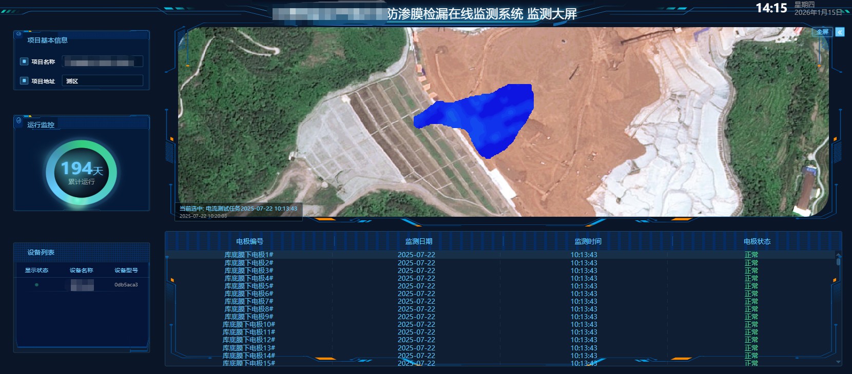
Tailings Pond Bottom Real‑Time Online Monitoring System Case

Tailings Pond Bottom Real‑Time Online Monitoring System Case

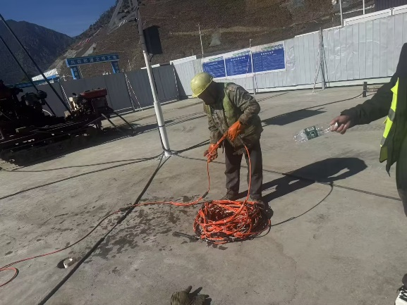
Cross‑hole High‑density Electrical Imaging Case of Anti‑seepage Wall

Cross‑hole High‑density Electrical Imaging Case of Anti‑seepage Wall

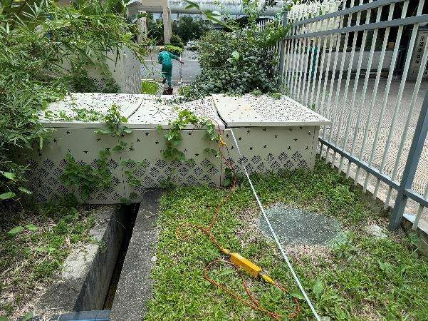
Groundwater Investigation for Leachate Treatment Plant

Groundwater Investigation for Leachate Treatment Plant

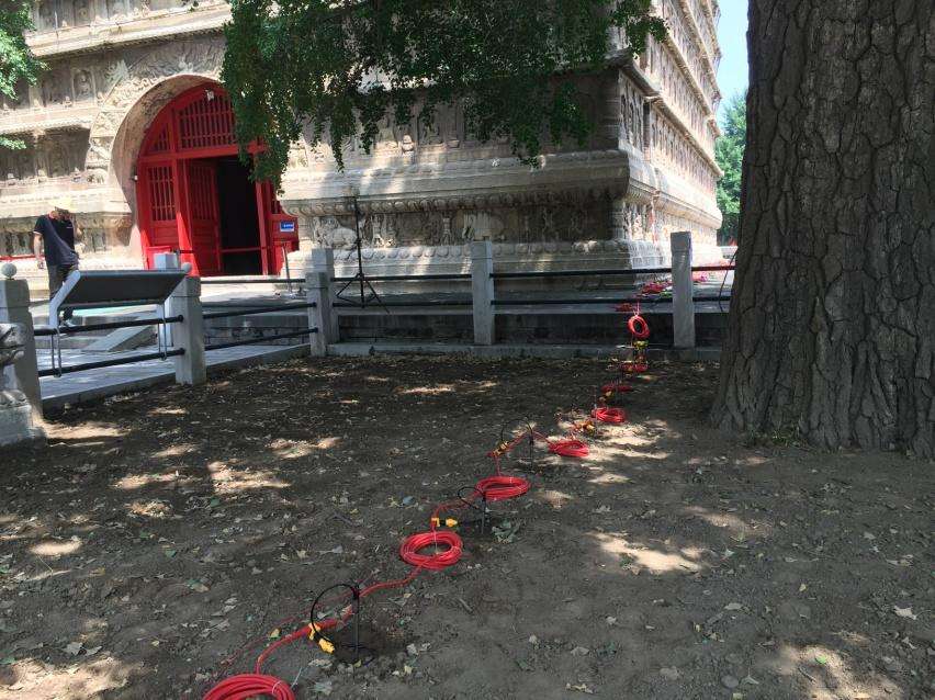
Foundation Depth Survey Case of Beijing Five‑Pagoda Temple

Foundation Depth Survey Case of Beijing Five‑Pagoda Temple

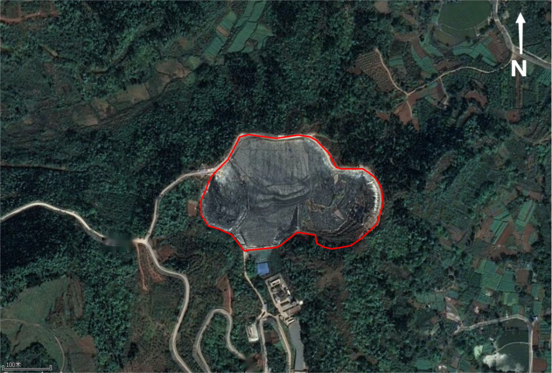
Landfill Leakage Investigation

Landfill Leakage Investigation

View more

Core Selling Points

01
Probe lowered into the borehole — anomalies reported from depth

A lightweight receiving probe of 5 cm diameter and 55 cm length can be lowered into conventional engineering boreholes and core boreholes; geological anomalies are reconstructed segment by segment along borehole depth, no longer indirect inference from surface projection.

02
Primary field does not enter the probe — what remains is the true signal

In the central-loop working mode, the transmitter loop and the in-hole probe are geometrically orthogonal, so the primary field couples negligibly at the probe position and the remaining secondary field is not masked by primary-field residues.

03
≥150 A high current — even weak anomalies can be pulled out

The probe is compatible with ≥150 A high-current transmitter systems, exciting a strong enough secondary field; weak anomalies such as water-filled fractures, low-resistivity aquifers and fractured zones respond rapidly.

04
Lightweight, compact independent probe — low in-hole incident rate

The receiving probe is independent, lightweight and compact; the accompanying cable is designed for borehole conditions, and the risks of borehole-wall squeeze and hoisting are more controllable than with bulky probes.

Technical Specifications

ParameterGT-40
A/D Converter32Bit
Dynamic Range160dB
Sampling Rate1μs、4μs、16μs、
Number of Acquisition Channels2
Noise Floor1μV
Voltage Measurement Range-200V-200V
Voltage Measurement Resolution≤300nV
Measurement Accuracy0.001
Input Gain Range1/80-8000
Minimum Sampling Interval4μs
Noise Suppression>100dB
Passband0-500kHz
Stacking Times200
Dimensions403mm×330mm×178mm (L×W×H)
Weight8kg
Operating Temperature-10℃-50℃
Transmit Voltage (V)36-57
Transmit Current (A)25、50、100、200
Current Pulse Width (ms)10、20、40
Transmit WaveformBipolar square wave with 1:1 duty cycle
Max Transmit Power (kW)3.6
Turn-off Time0.5-300μs

Accessories and Attachments

Used for data transmission.

- Specification: Waterproof aviation connector

- Conductor: Shielded tinned copper wire

- Protection rating: IP67

Receiver-end connection cable
Transmitter-end connection cable

Ordering Information

Material CodeModelNameConnector
M6.0014T-11Surface TEM probe connection cableWaterproof aviation connector
M6.0065T-41Borehole TEM probe connection cableWaterproof aviation connector

GT-30 Geotech optional coplanar equal-value opposite-flux ultra-shallow detection coil, blind zone < 1 m.
Specification: Coplanar opposite-flux structure
Core material: High-sensitivity magnetic-flux probe
Protection rating: IP67

Ordering Information

Material CodeProduct ModelProduct NameAppearance MaterialStandard InterfaceApplicable ScenarioApplication End
M4.2002TX-40Transmitter coilHigh-conductivity pure copper wireWaterproof brass connectorGT-10 Geology and Mineral ExplorationTransmitter end
M4.2001T-10Integrated central probeEngineering plastic + copper coreWaterproof aviation connectorGT-10 Geology and Mineral ExplorationReceiver end
M4.2013T-40Borehole TEM probeEngineering plastic + copper coreWaterproof aviation connectorGT-40 Borehole Geological Engineering SurveyIntegrated transmit-receive