GD-12/22/32 1/6/12-Channel DC Resistivity and IP System
A next-generation multi-channel DC resistivity system with 1 or 6 or 12 channels per unit (selectable), real-time inversion, and support for large-scale distributed full-waveform measurements.
GD-10 Electrical Resistivity & IP Imaging System
A classic single-channel resistivity system featuring a modular, upgradeable design. Supports resistivity data acquisition across diverse environments and electrode configurations, including surface, underground tunnel, and underwater surveys.
GD-20 Multi-channel ERT/IP Imaging System
A classic 5- or 10-channel resistivity system featuring a modular, upgradeable design. Supports resistivity data acquisition across diverse environments and electrode configurations, including surface, underground tunnel, and underwater surveys.
Laboratory Resistivity Measurement System
An experimental system designed for research and education, with scalable channel capacity exceeding 1,000 channels, customizable test scripts, and automated remote data acquisition tasks that can be executed online.
Multi-electrode resistivity imaging systems for electrical resistivity tomography (ERT) and vertical electrical sounding (VES).
DIGspace Geoscience Platform
Integrating geological, geophysical, and monitoring data into a unified subsurface cognition system. Deep analysis on desktop, collaboration on web.
A 3D geospatial platform fusing multi-source survey data with surface spatial information — covering exploration analysis and long-term monitoring.
Brazil Gold Ore Exploration Case
Carry out geophysical exploration for sulfate zones with potential metal mineral resources in ESTADO DO PARÁ, Brazil, and locate metal ore deposits by electrical prospecting technology.
Underground water and mineral exploration at Beishan Lead-Zinc Mine, Hechi, Guangxi
Integrated geophysical solutions for mineral prospecting.
View our enterprise certifications and industry honors.
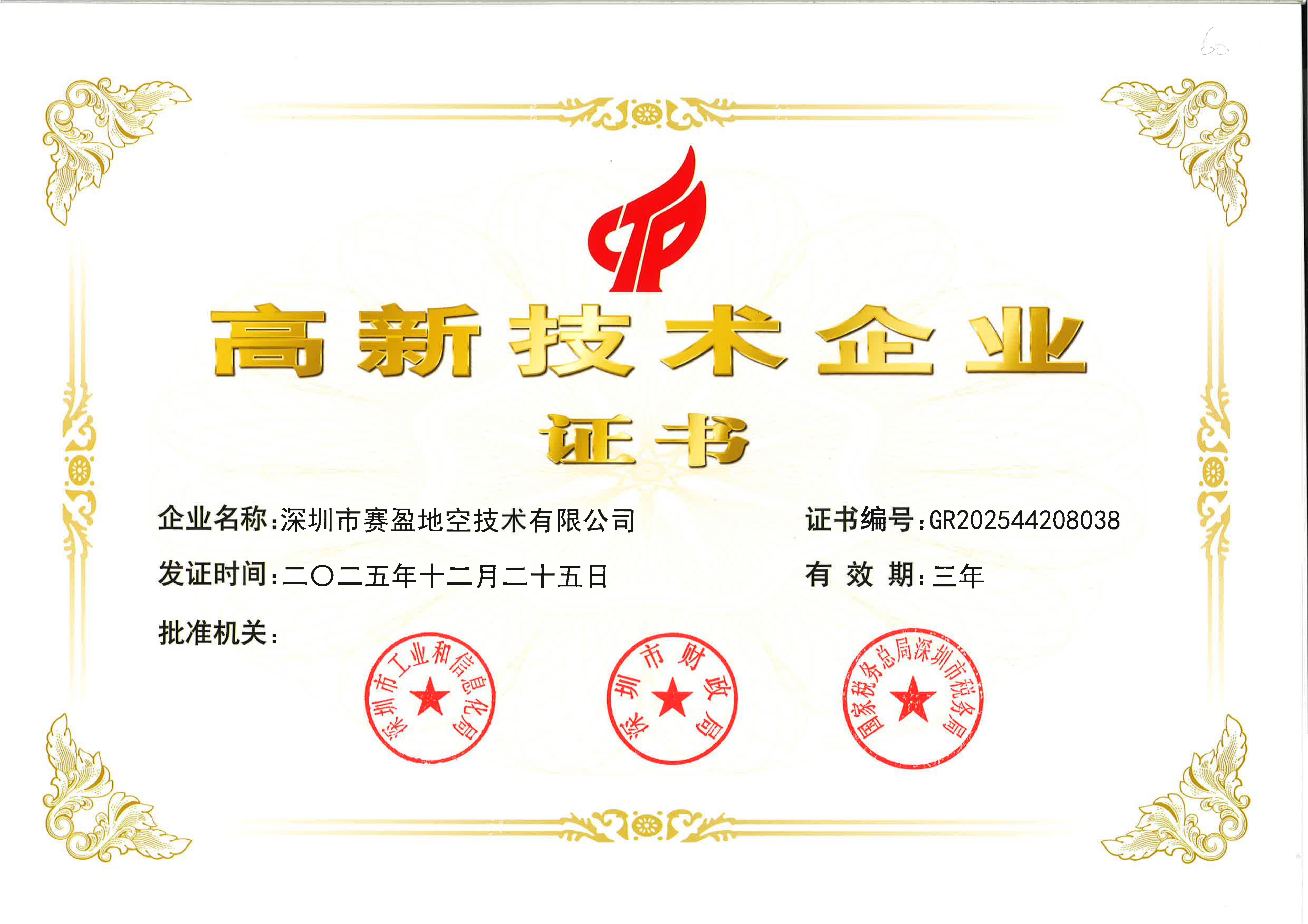
The official certificate obtained through the National High-Tech Enterprise recognition, serving as national-level authoritative validation of the company's innovation strength.
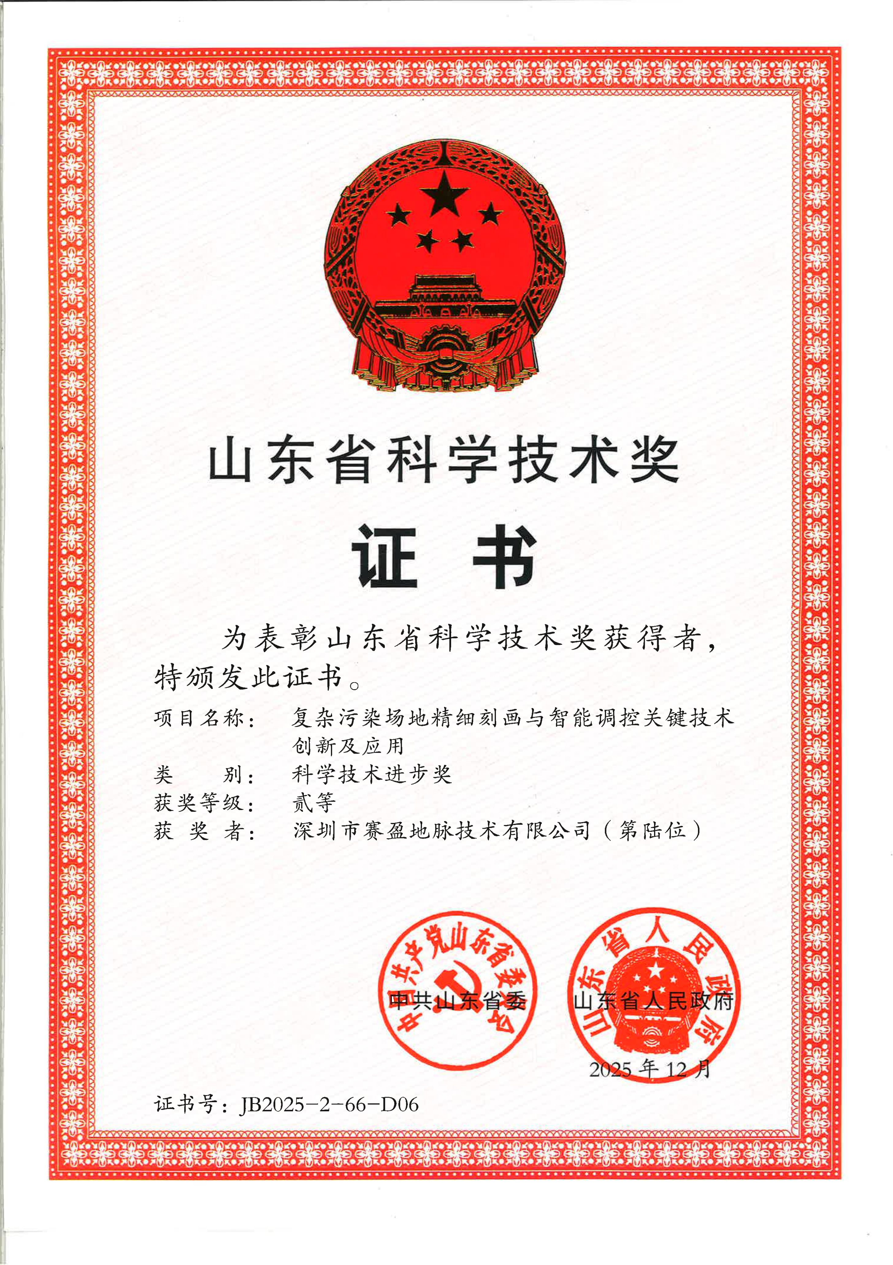
Awarded the Shandong Province Science and Technology Progress Award for technical breakthroughs in geophysical exploration equipment development and engineering application, recognizing the company's sustained investment in instrument R&D and technology transfer.
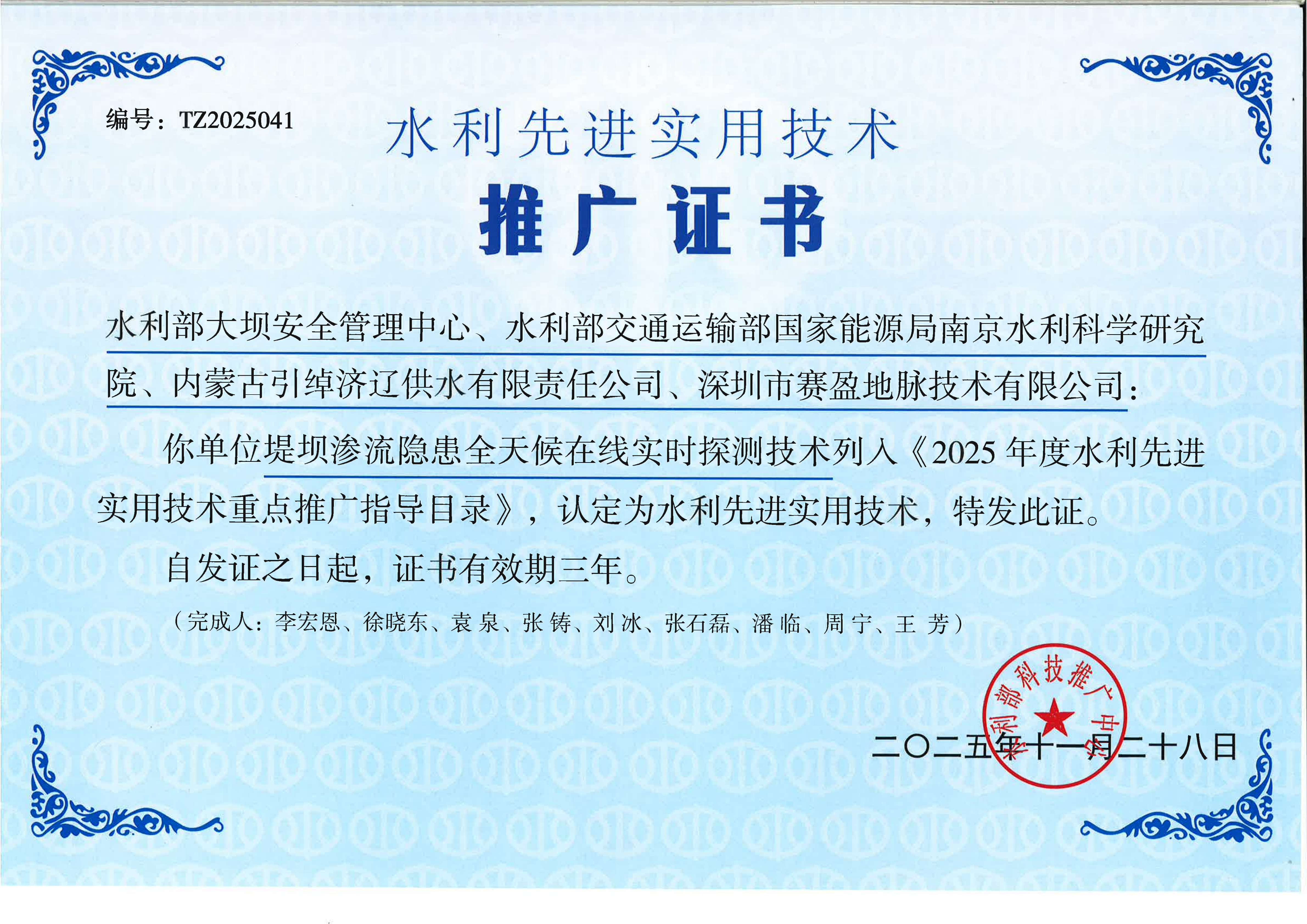
Received for practical technical achievements in hydropower engineering exploration and online monitoring, with the solution already deployed in applications such as reservoir dam seepage monitoring.
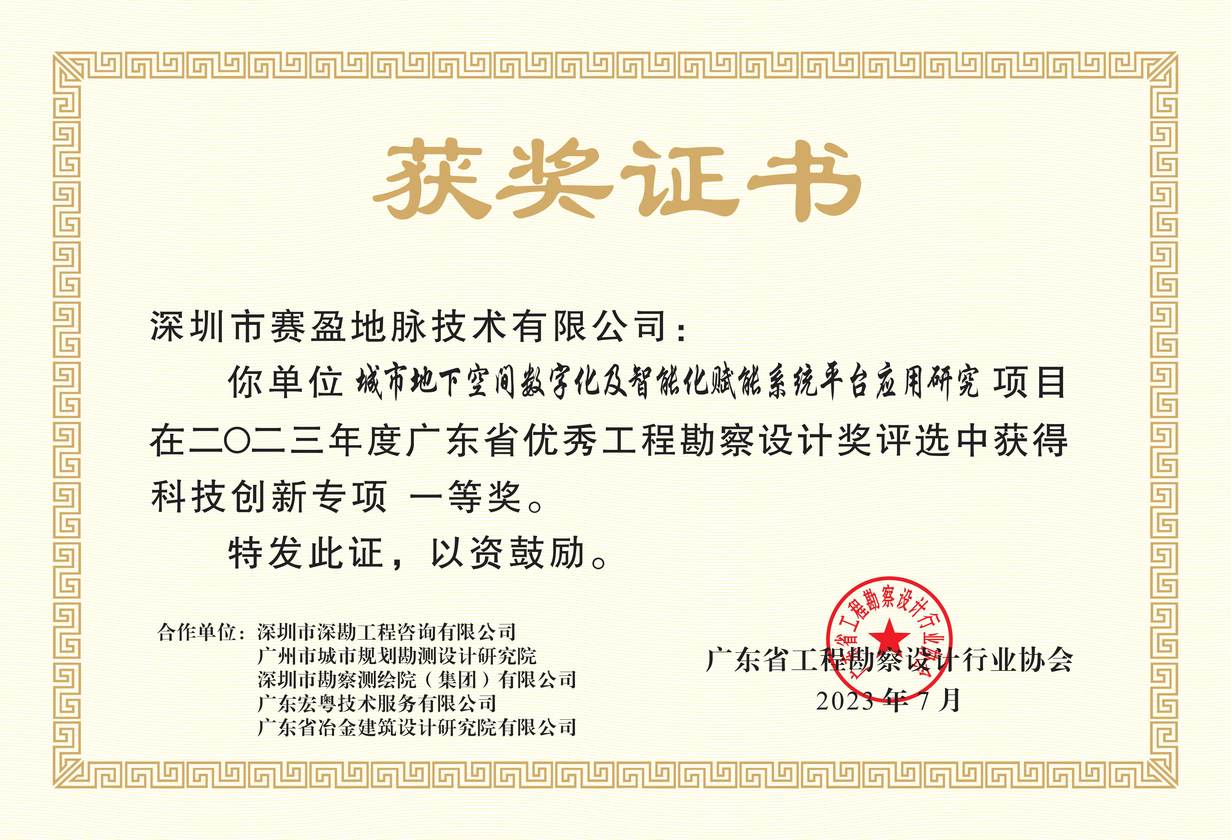
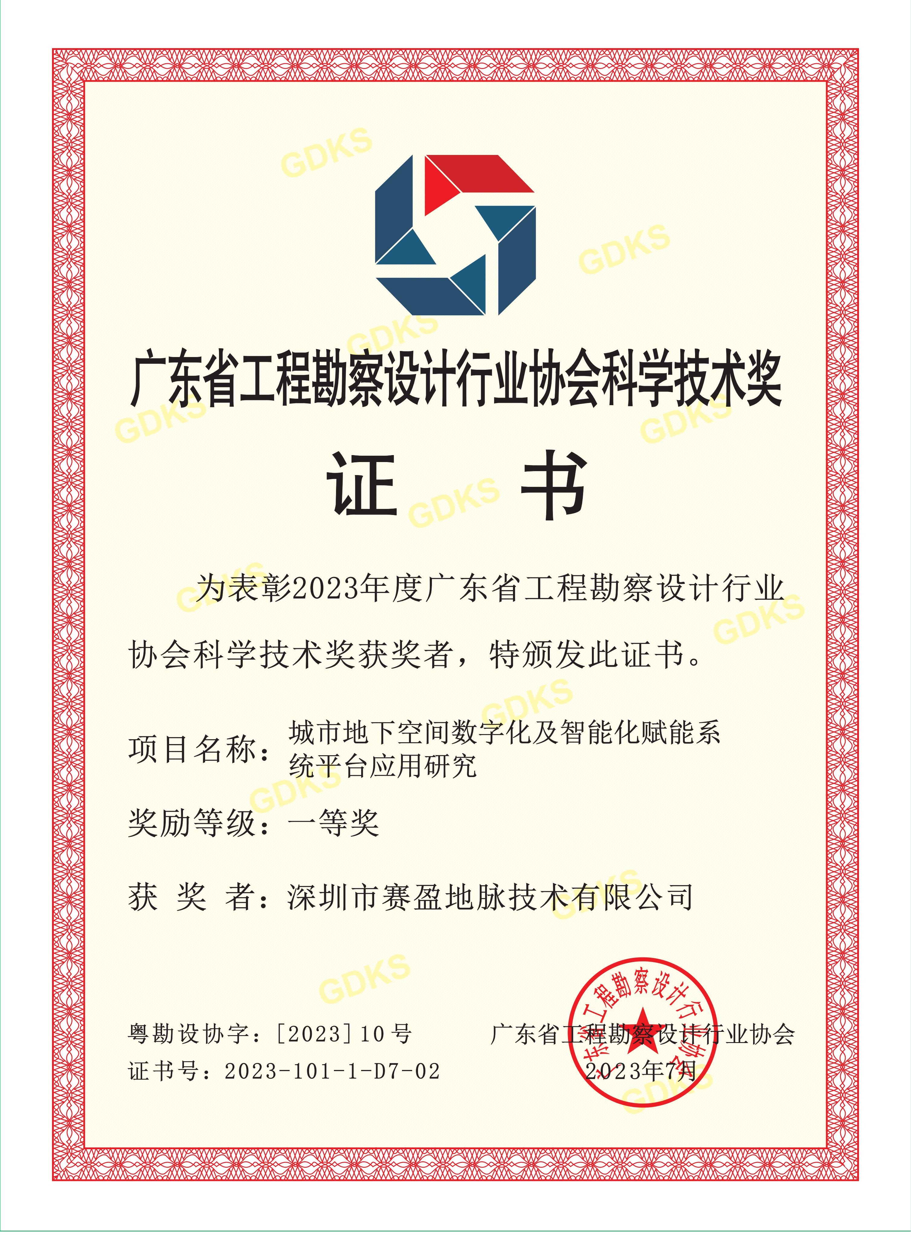
Received First Prize in Guangdong Province for the quality and technical innovation of engineering survey and design outcomes, demonstrating the company's capability in survey scheme design and delivery under complex geological conditions.
Awarded First Prize for Customer Technology by the Guangdong Engineering Survey and Design Industry Association. Selected directly by customers, it reflects the real-world performance of the instruments in engineering projects and user recognition.
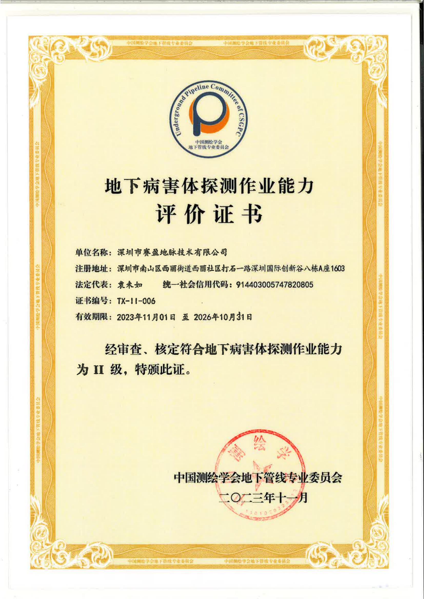
Holds Grade II qualification for underground defect detection operations, qualified to undertake detection of defects in roads and underground structures, providing compliant technical services for engineering defect investigation.
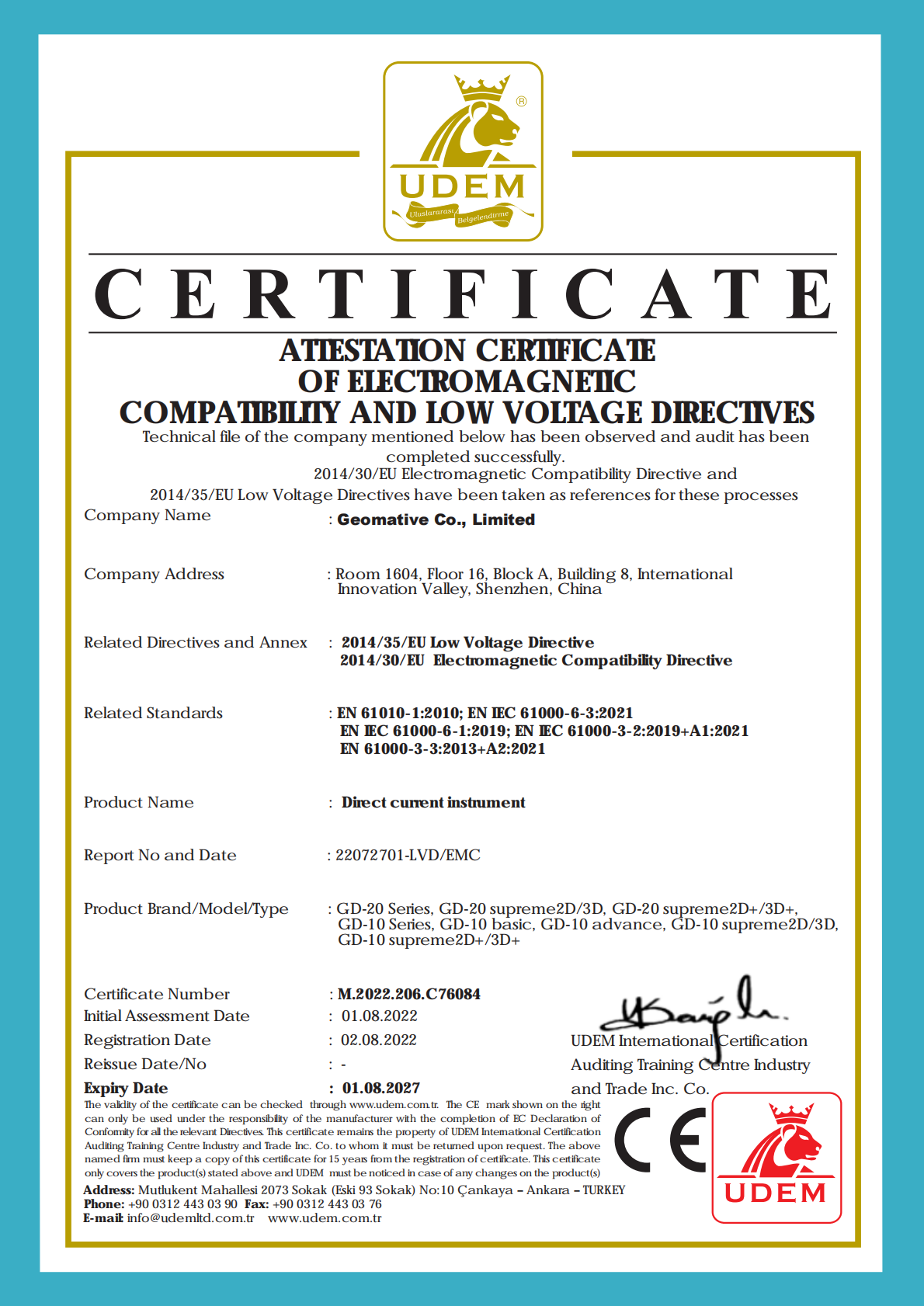
Technical file reviewed and audit completed successfully against EU Directive 2014/30/EU (Electromagnetic Compatibility) and Directive 2014/35/EU (Low Voltage), demonstrating compliance with EU safety and EMC requirements and serving as the basis for market access in Europe.
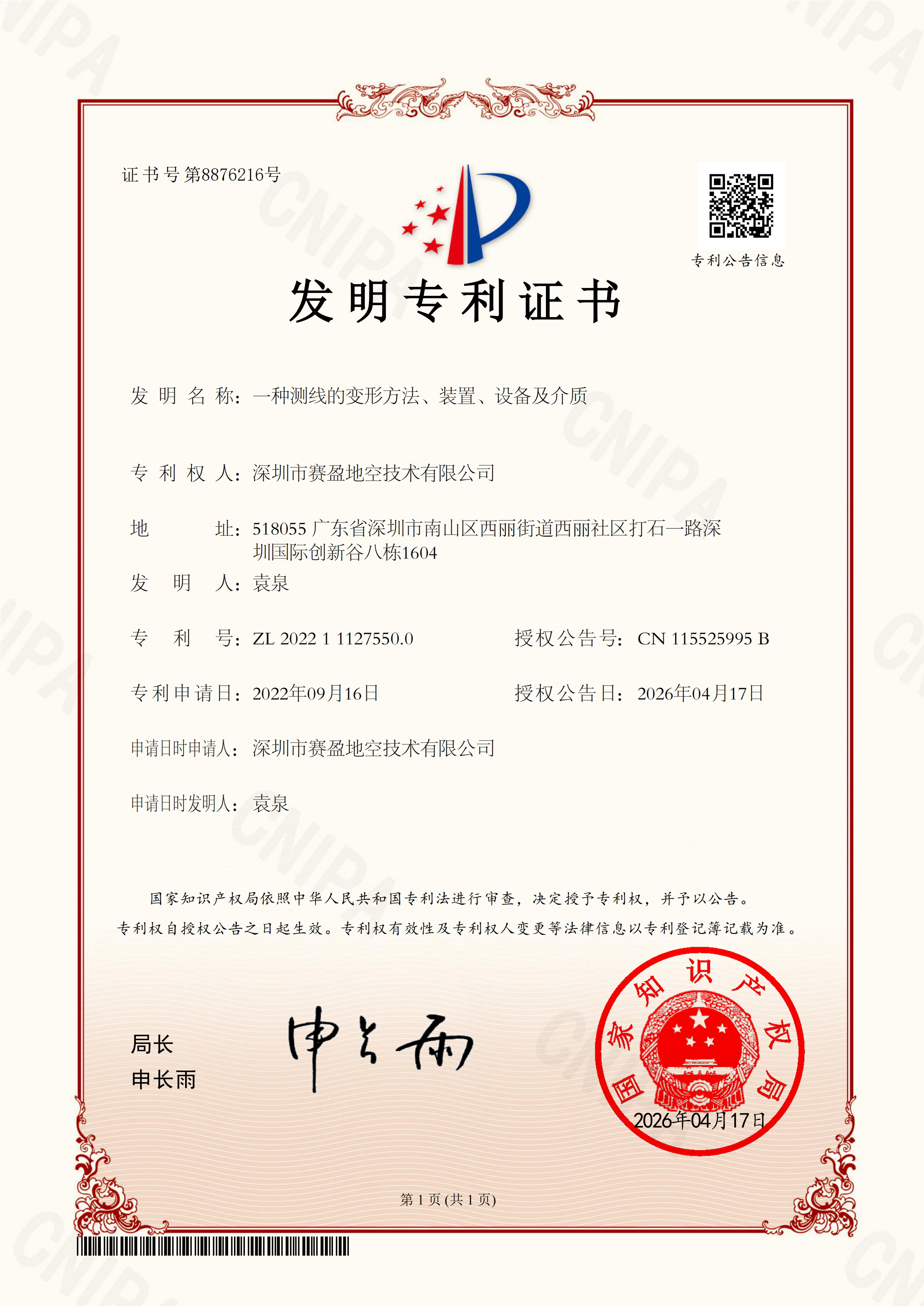
Patent No. ZL 2022 1 1127550.0, Grant Publication No. CN 115525995 B. Addresses geometric deformation handling in resistivity survey line layout, improving setting-out efficiency under complex terrain and obstacle conditions.
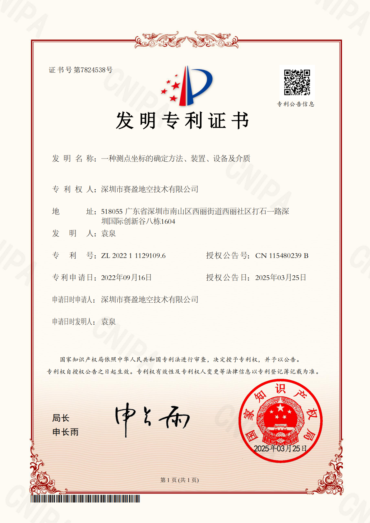
Determines survey point coordinates through multi-source data fusion and coordinate solving, providing a reliable spatial basis for locating subsurface anomalies.
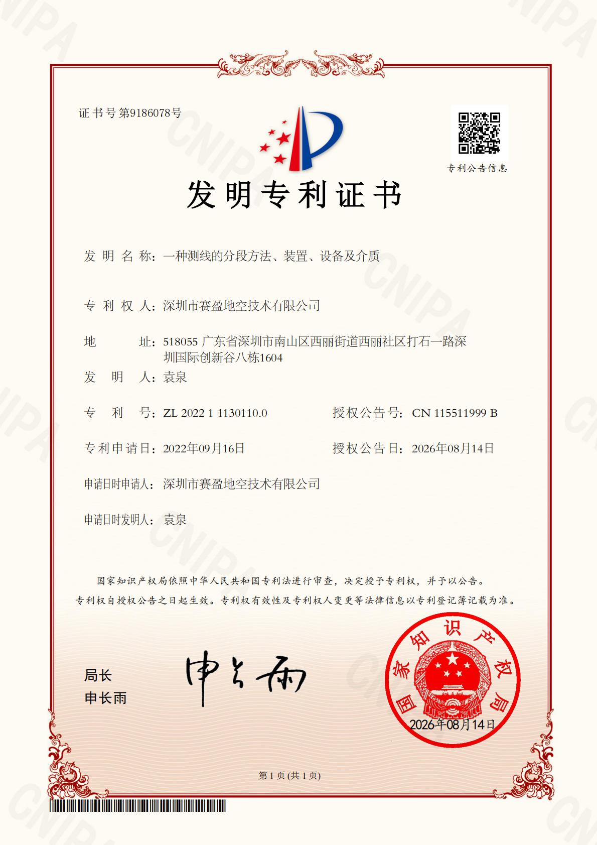
Patent No. ZL 2022 1 1130110.0, Grant Publication No. CN 115511999 B. Enables automatic survey line segmentation, supporting data acquisition and imaging in segmented centralized high-density resistivity measurement systems.
The company's core hardware patent, using multi-channel synchronous acquisition to substantially improve resistivity survey efficiency and data density, supporting fast large-area reconnaissance.
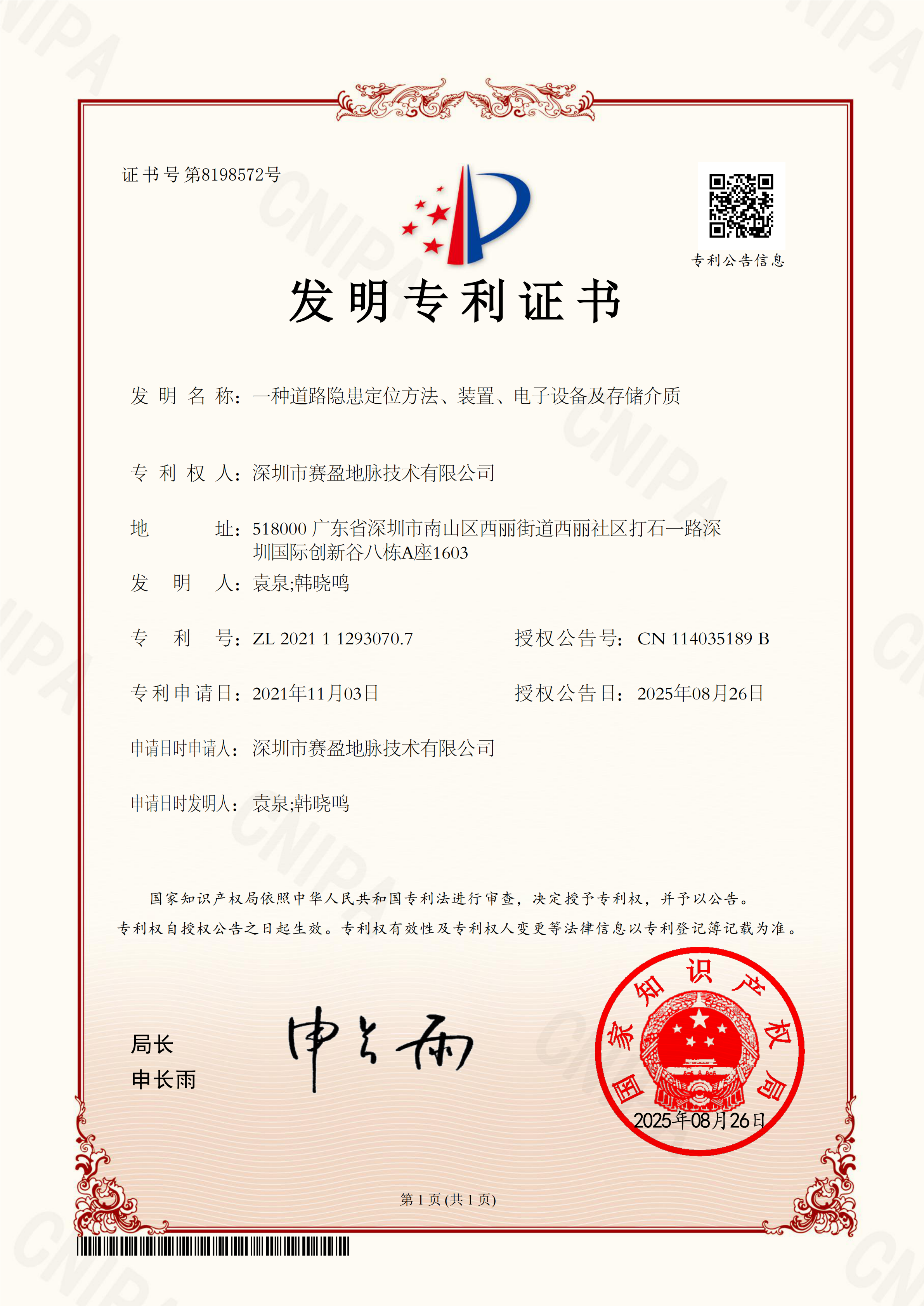
Combines radar and positioning data to precisely locate subsurface hazards in road defect detection, providing a basis for road safety assessment and maintenance decisions.
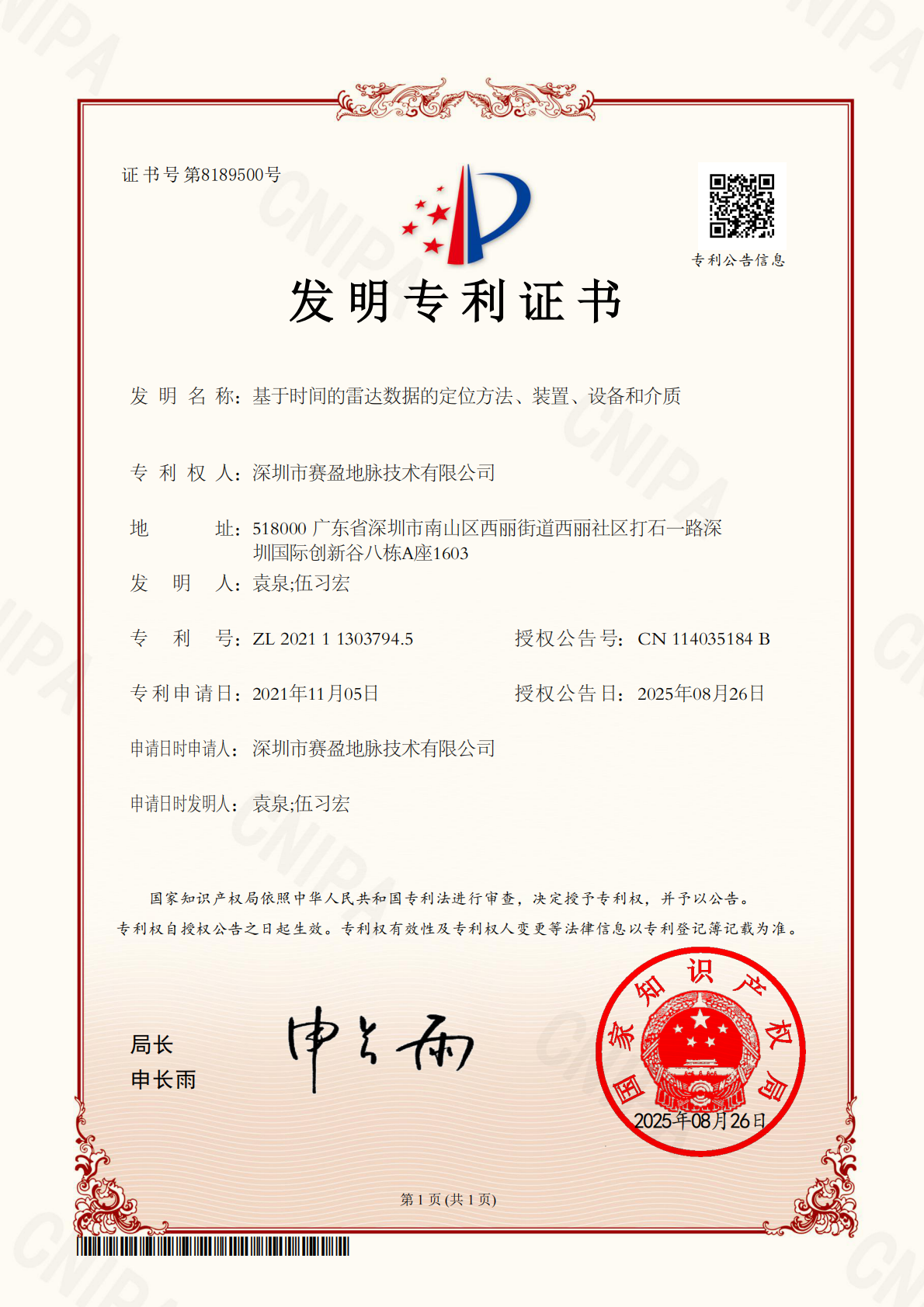
Uses time-domain radar data for positioning solutions, improving coordinate accuracy of vehicle-mounted radar survey data and supporting precise road defect localization and re-verification.
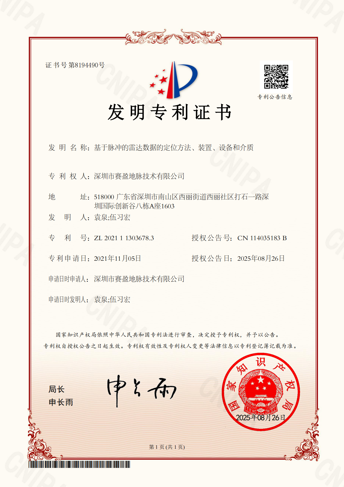
Uses pulse-domain radar data for positioning solutions, complementing the time-domain method to improve positioning reliability and applicability of radar detection in complex media.
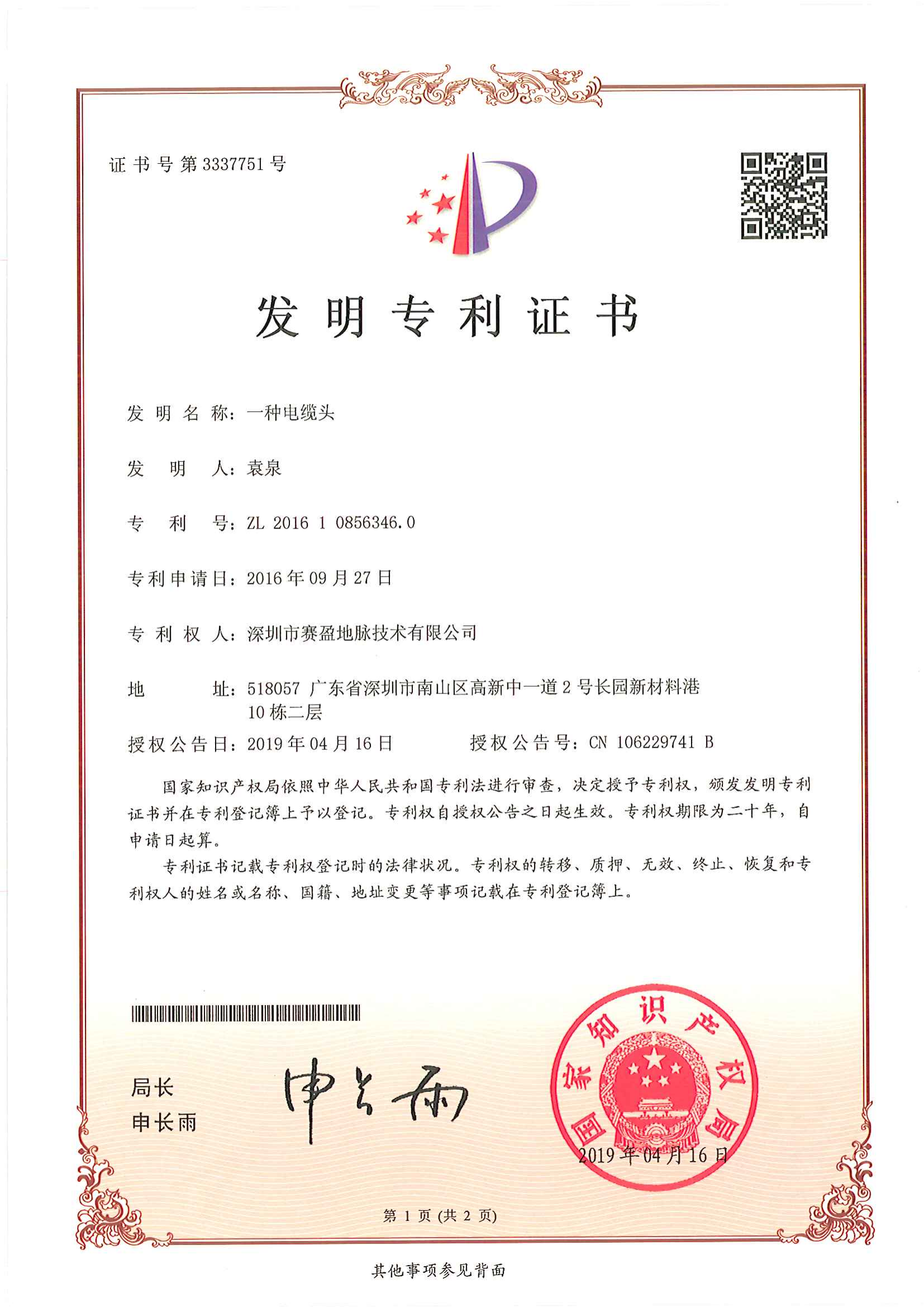
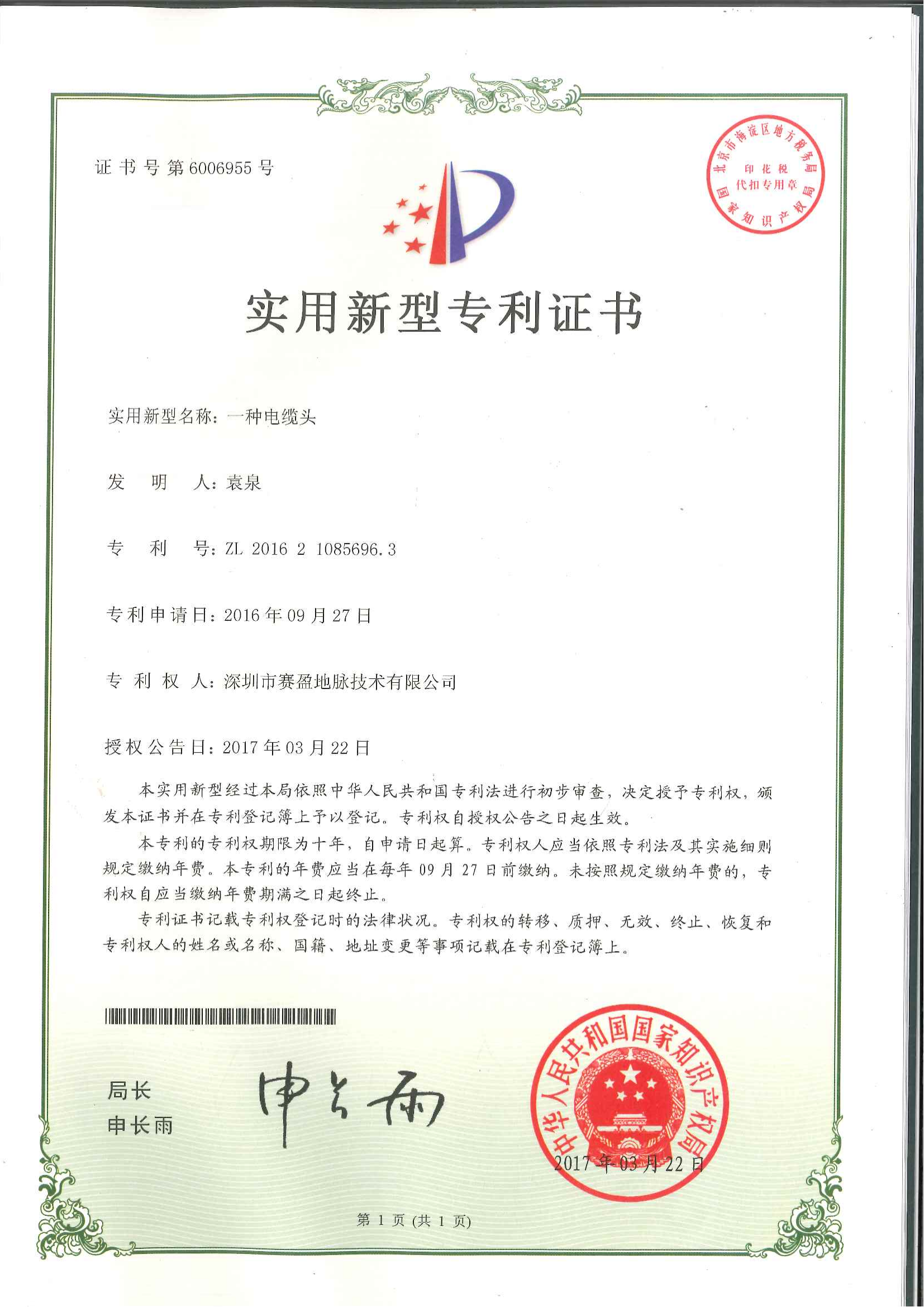
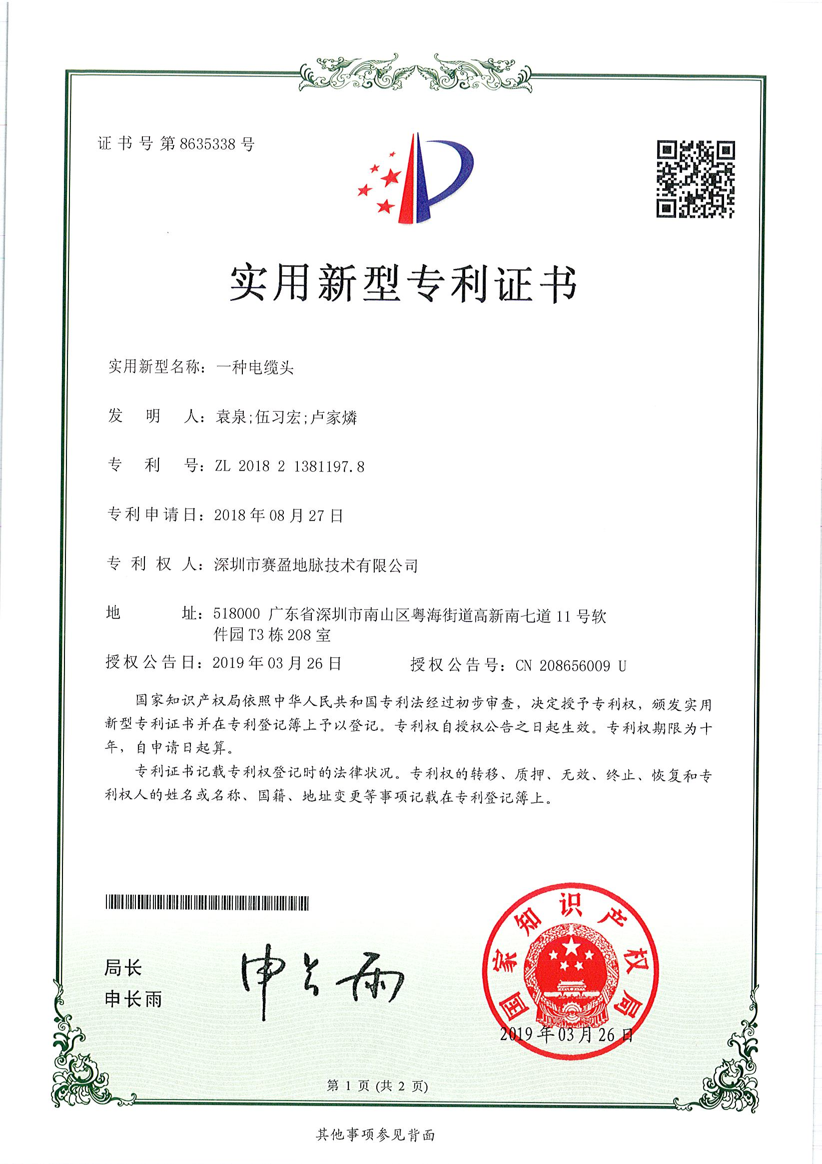
Patent No. ZL 2016 1 0856346.0. Addresses cable connection reliability in multi-channel resistivity acquisition, improving connection stability and durability through structural design.
A cable connection structure for geophysical instruments, improving plug reliability and field operation efficiency through structural optimization.
A utility model for cable connection structures in geophysical instruments, complementing the invention patent to support reliable operation in complex field environments.
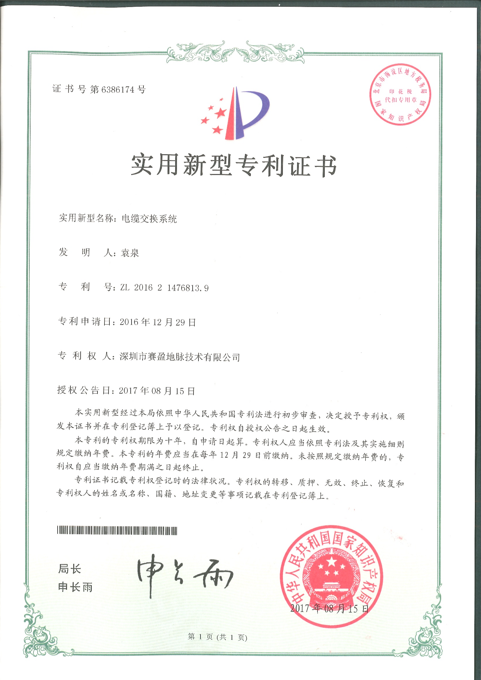
Patent No. ZL 2016 2 1476813.9. Enables rapid cable switching and distribution in multi-channel resistivity acquisition, reducing field wiring time and improving channel switching efficiency.
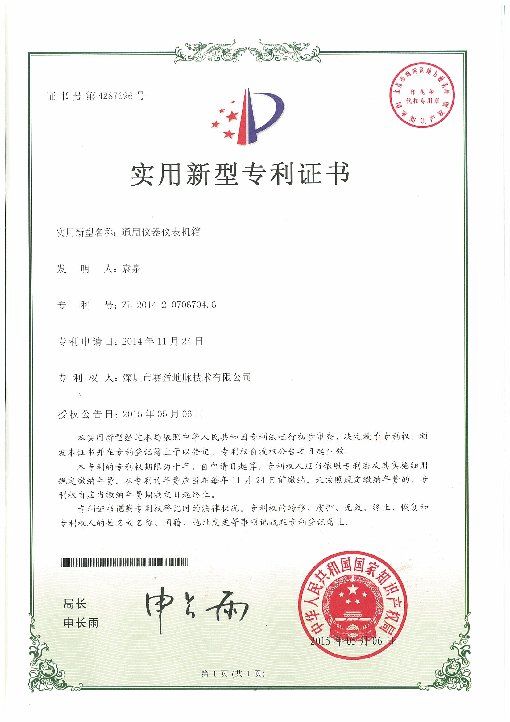
Patent No. ZL 2014 2 0706704.6. A modular universal enclosure compatible with multiple instrument hosts and acquisition units, facilitating integrated deployment and portability.
A mounting structure for positioning equipment on vehicle-based survey platforms, ensuring installation stability and positioning accuracy during mobile operation and supporting road defect reconnaissance.
Patent No. ZL 2021 2 1015298.5. Optimizes electrode assembly structure and grounding performance, improving measurement consistency and field deployment efficiency for ground resistance surveys.
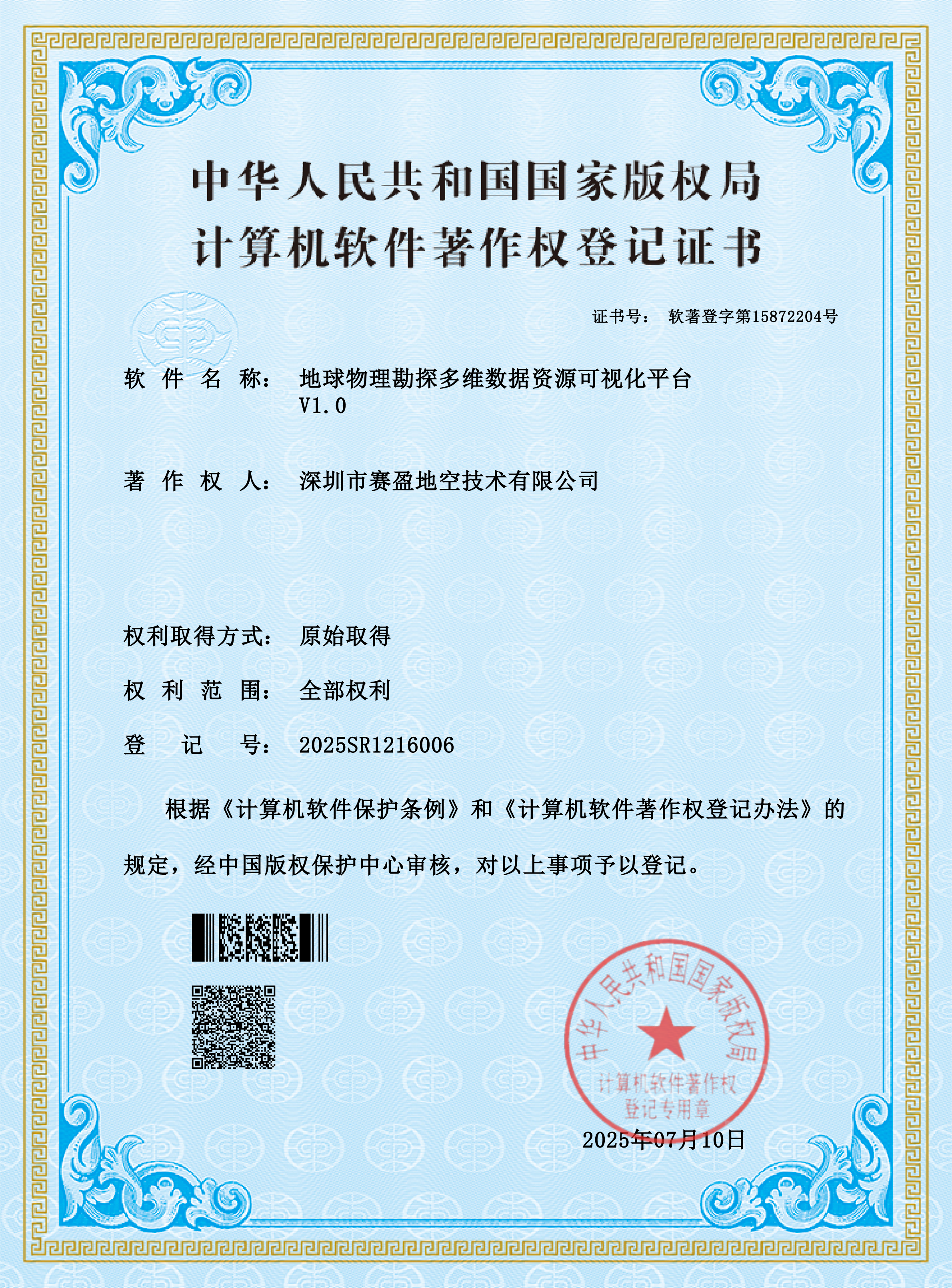
Registration No. 2025SR1216006. Integrates and visualizes multi-source exploration data from resistivity and radar surveys, supporting multi-dimensional data browsing and output cartography.
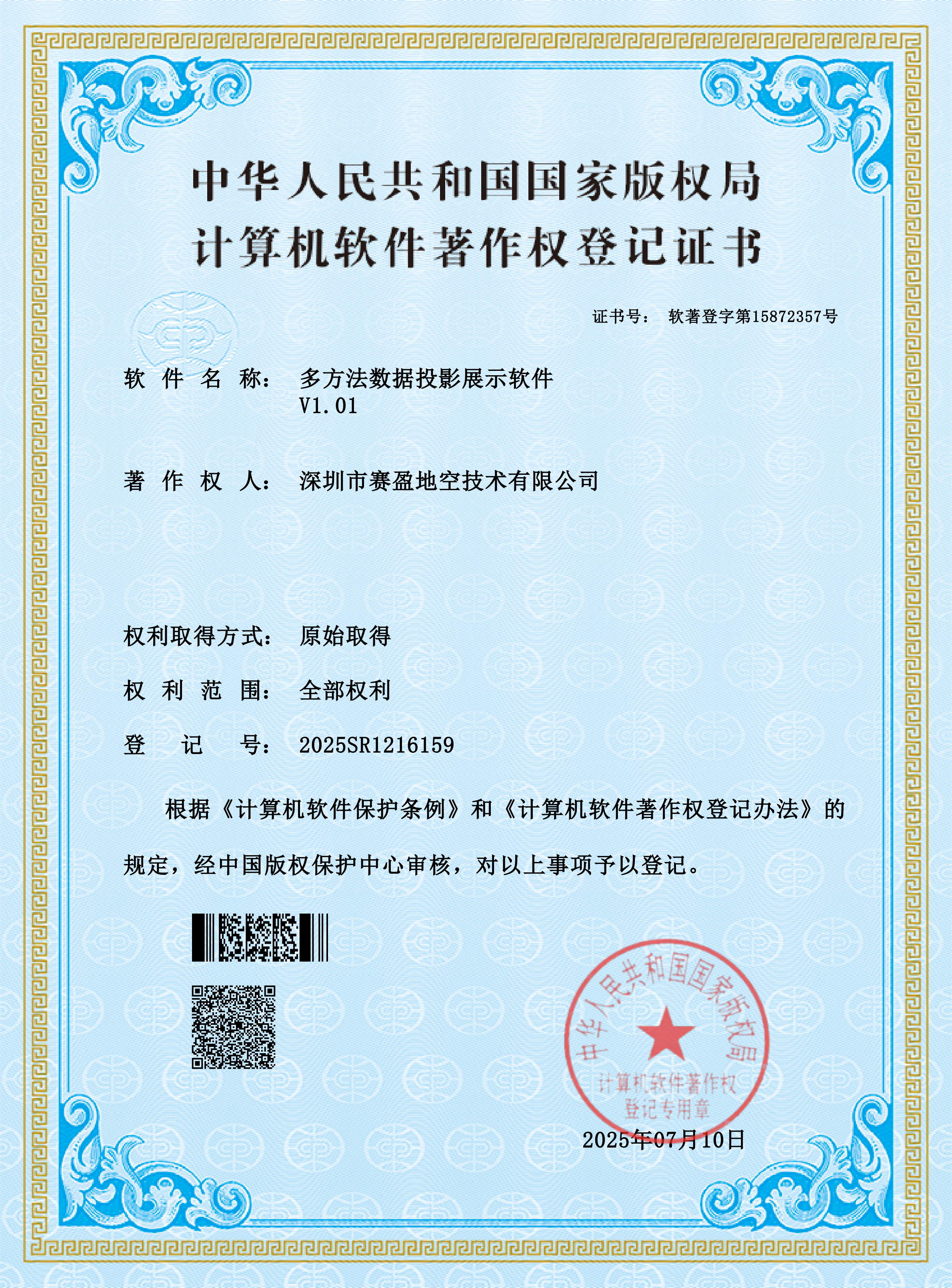
Registration No. 2025SR1216159. Projects data from multiple geophysical methods within a unified coordinate system, facilitating comparison and integrated interpretation of multi-method results.
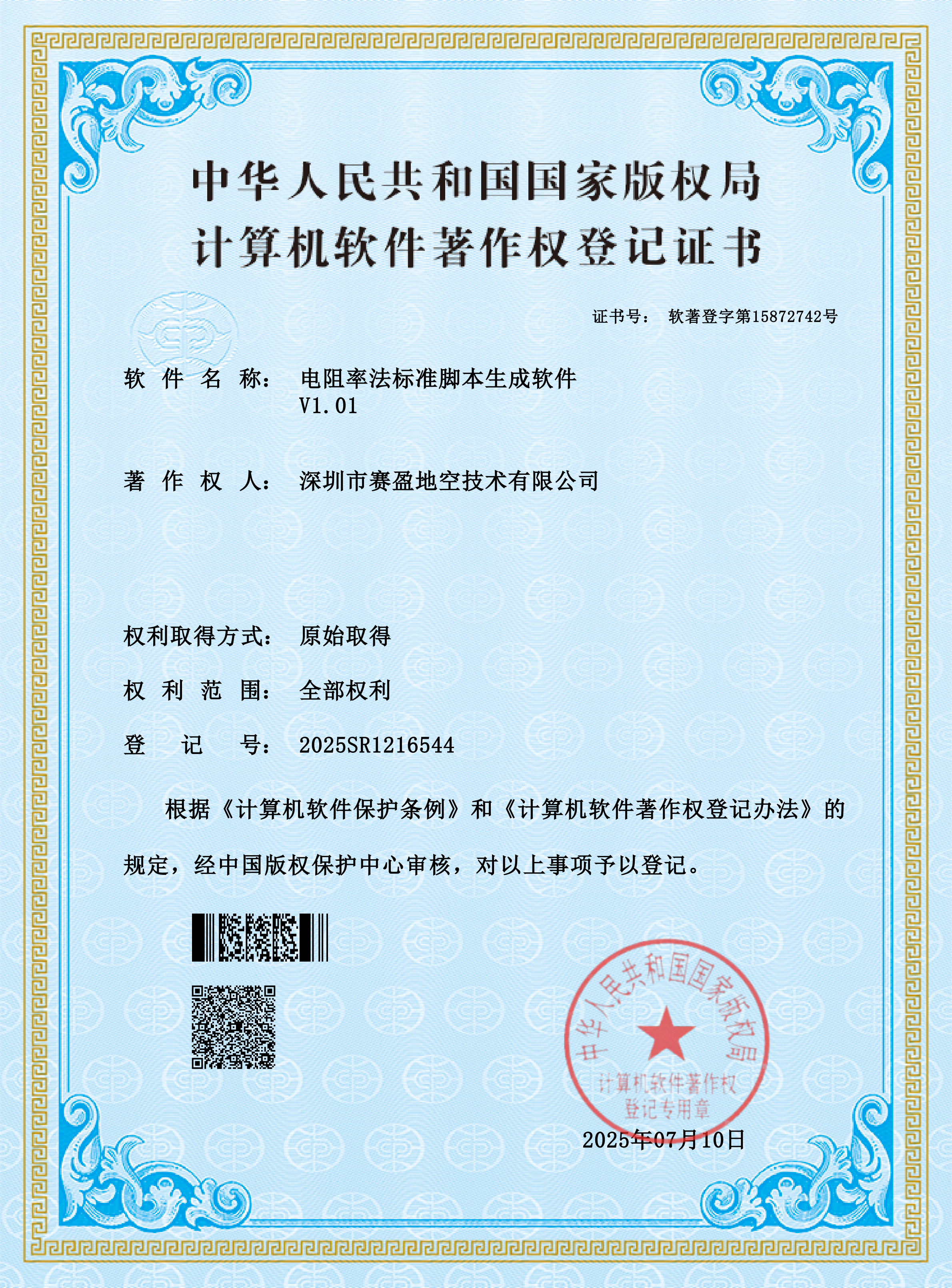
Registration No. 2025SR1216544. Automatically generates standard operating scripts for resistivity surveys, reducing manual configuration effort and ensuring consistent workflows across projects.
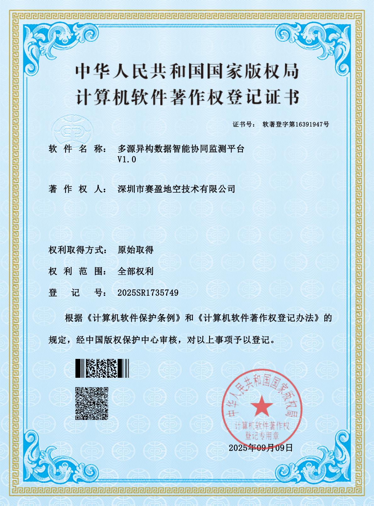
Registration No. 2025SR1735749. Built for subsurface environmental monitoring, integrates multi-source heterogeneous monitoring data to enable collaborative analysis and coordinated anomaly alerting.
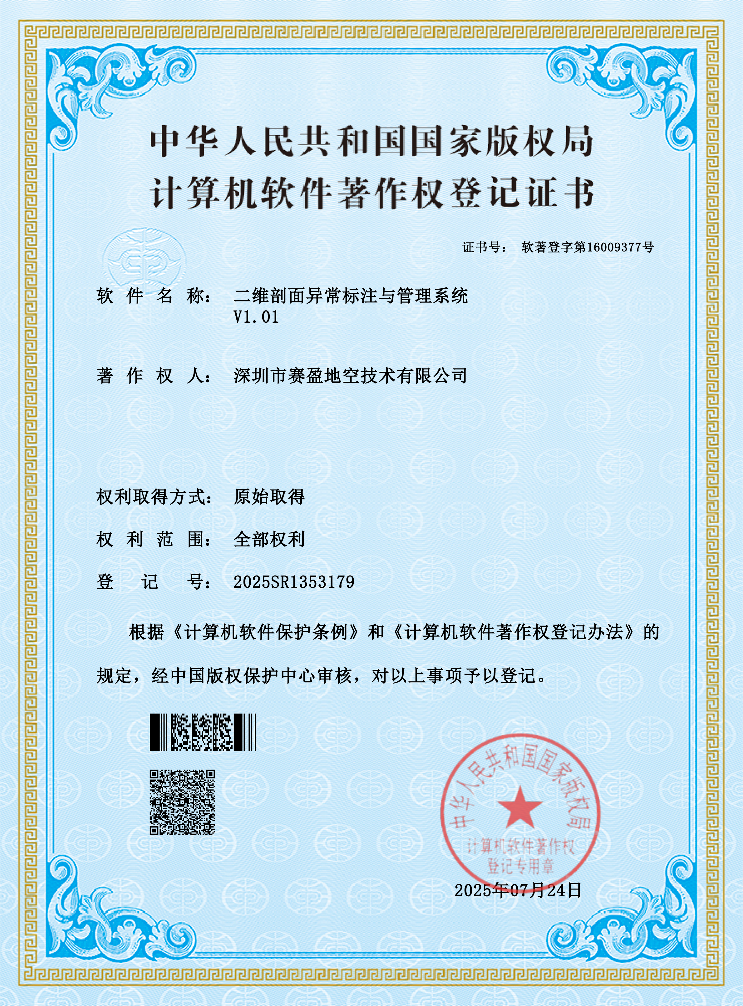
Registration No. 2025SR1353179. Annotates, tracks, and archives anomalies in 2D profiles, supporting standardized management of interpretation results.
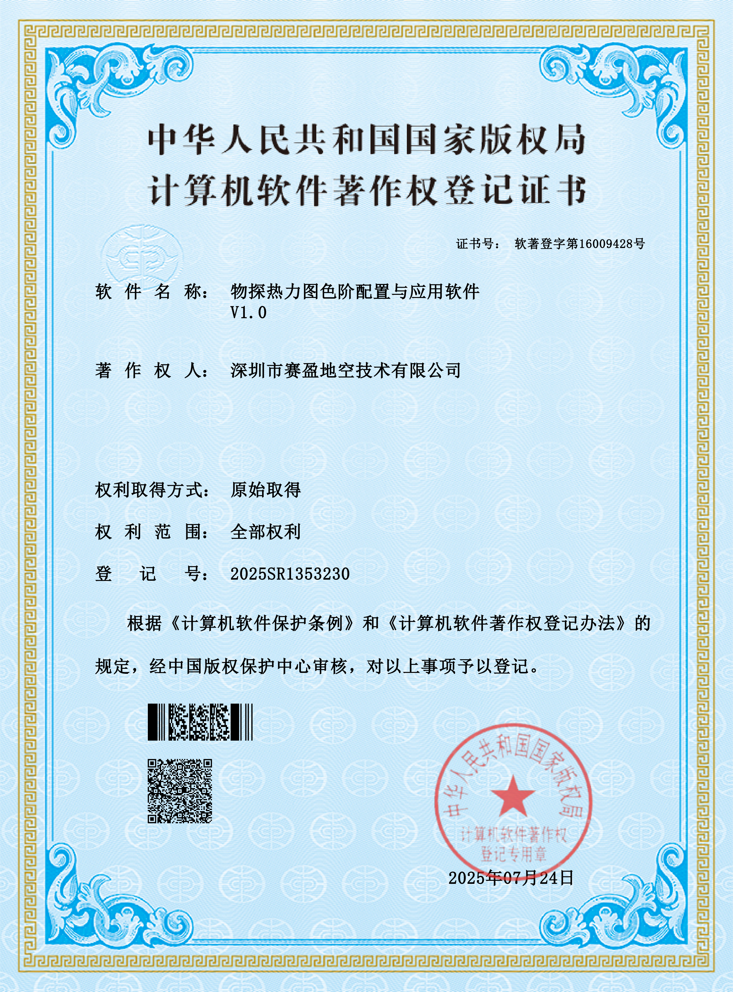
Registration No. 2025SR1353230. Provides customizable color scales for geophysical heatmaps, making variations in anomaly amplitude easier to distinguish visually.
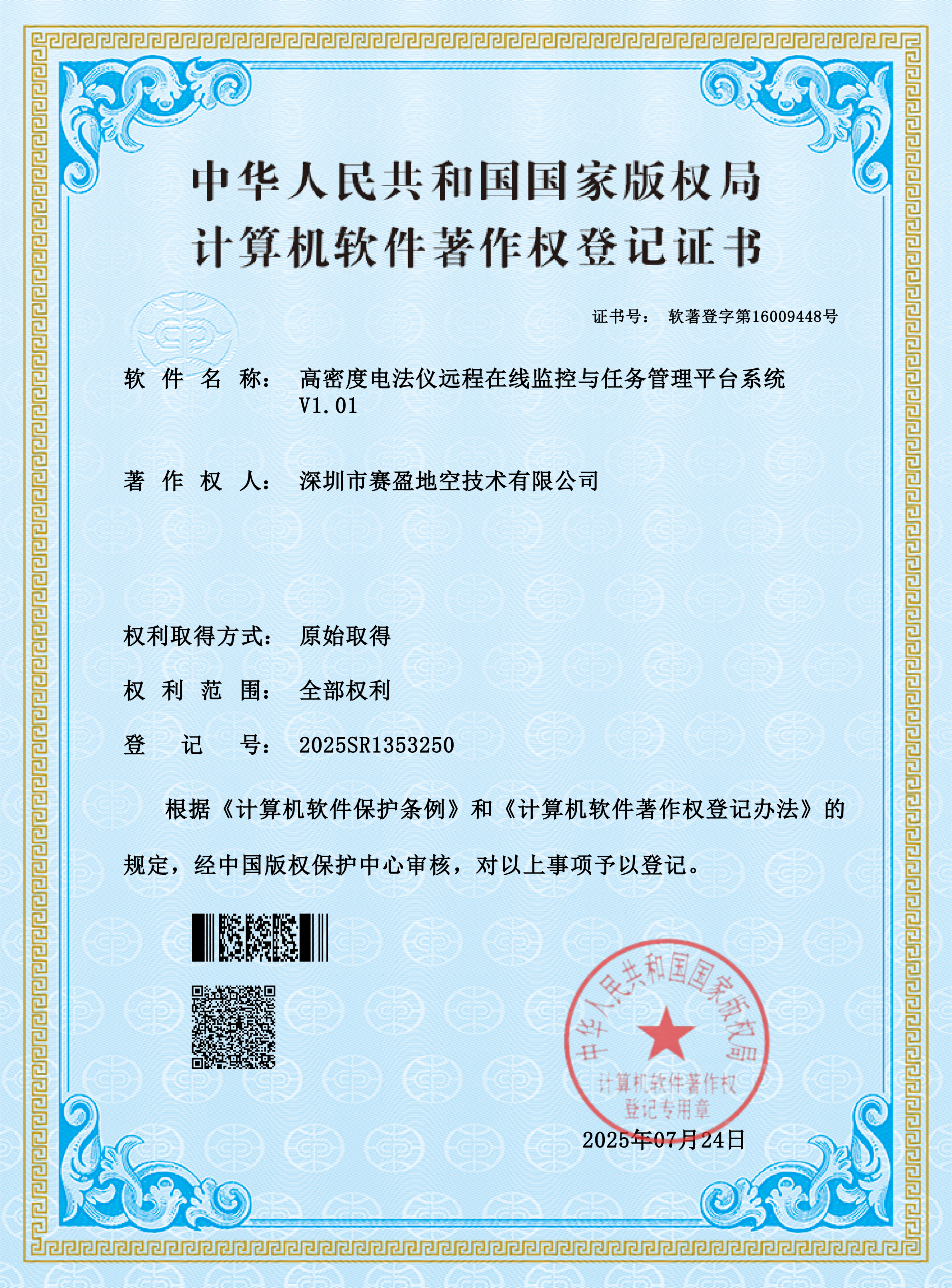
Registration No. 2025SR1353250. Enables remote online monitoring and task management of high-density resistivity instruments, forming the core system supporting the company's online monitoring business.
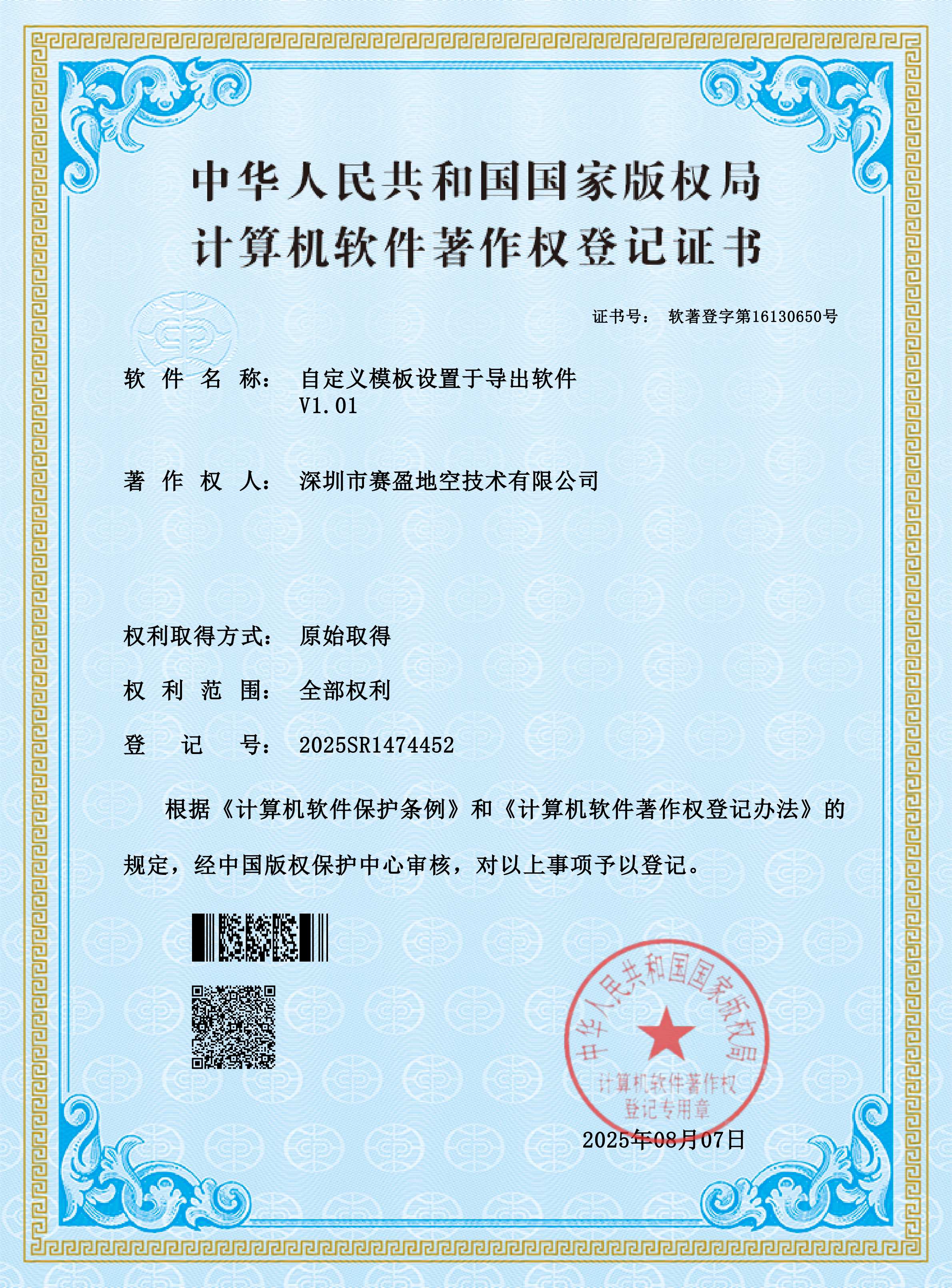
Registration No. 2025SR1474452. Supports custom template configuration and export, enabling generation of reports and charts tailored to customer requirements.
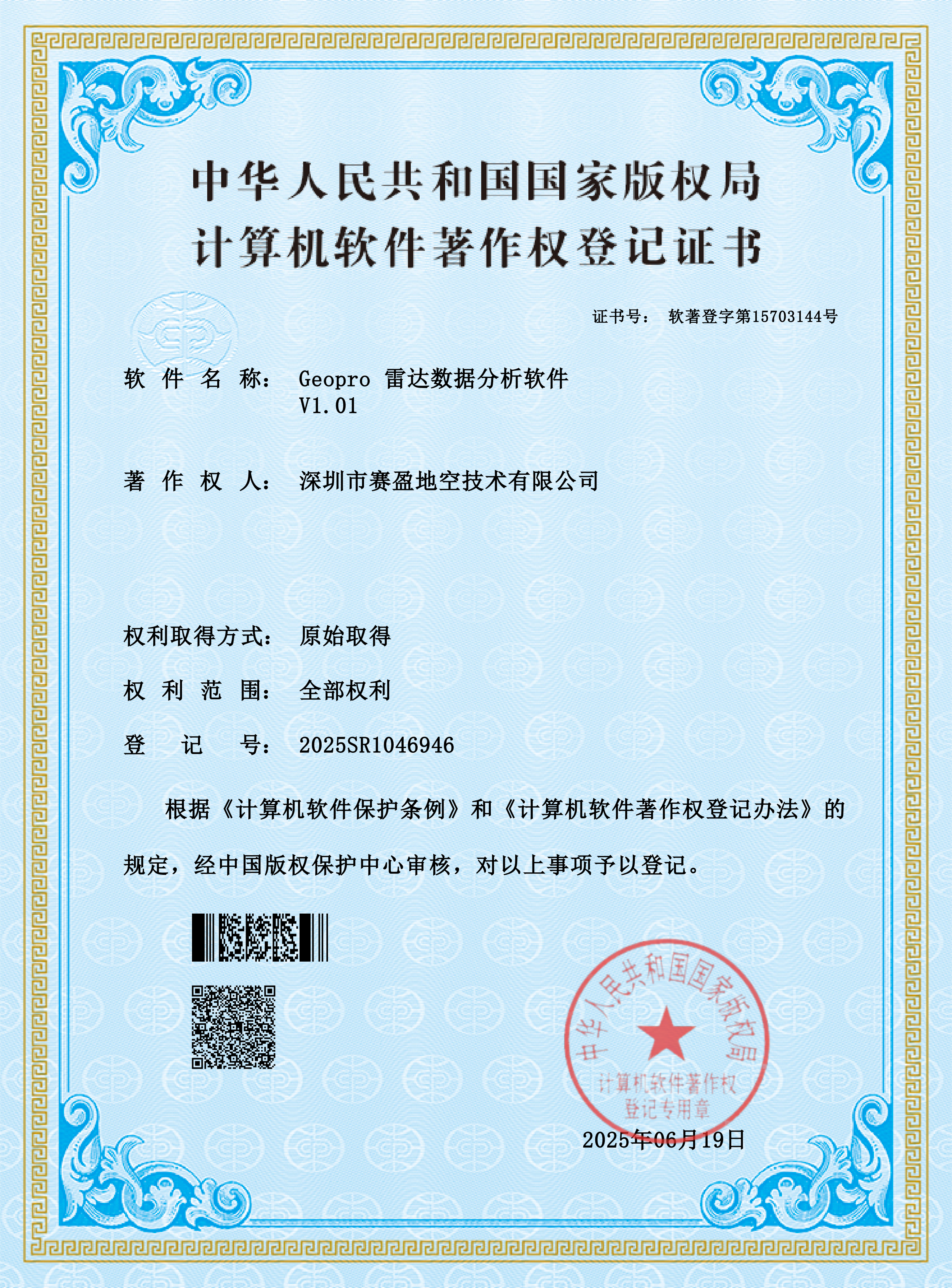
Registration No. 2025SR1046946. Post-processes and analyses ground-penetrating radar data, supporting waveform processing, anomaly identification, and result cartography.
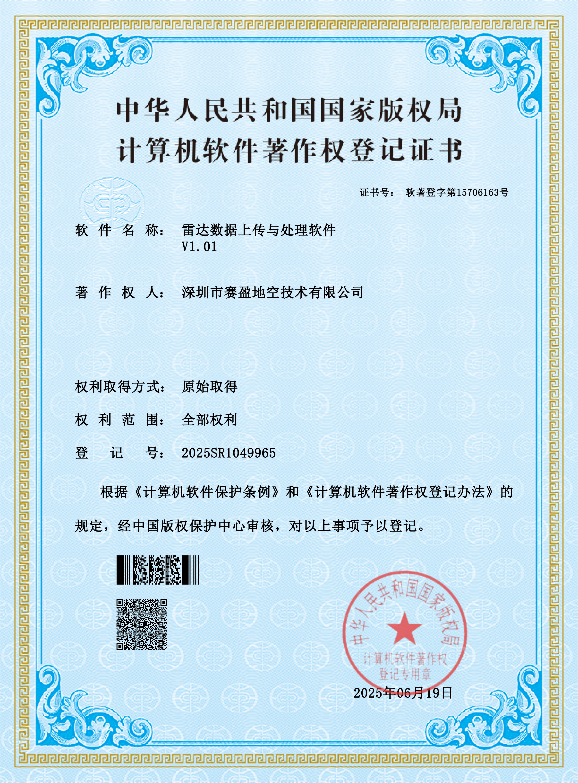
Registration No. 2025SR1049965. Provides upload, validation, and pre-processing of raw vehicle-mounted radar data, ensuring efficient and reliable data flow.
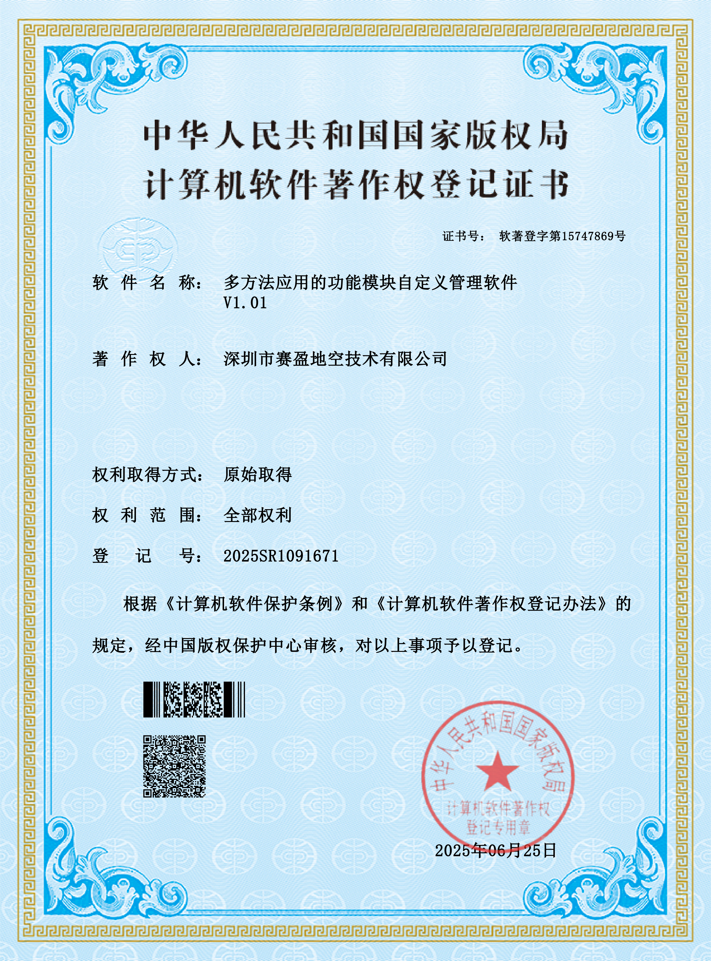
Registration No. 2025SR1091671. Enables custom configuration and unified management of function modules for multi-method exploration services, adapting to different project requirements.
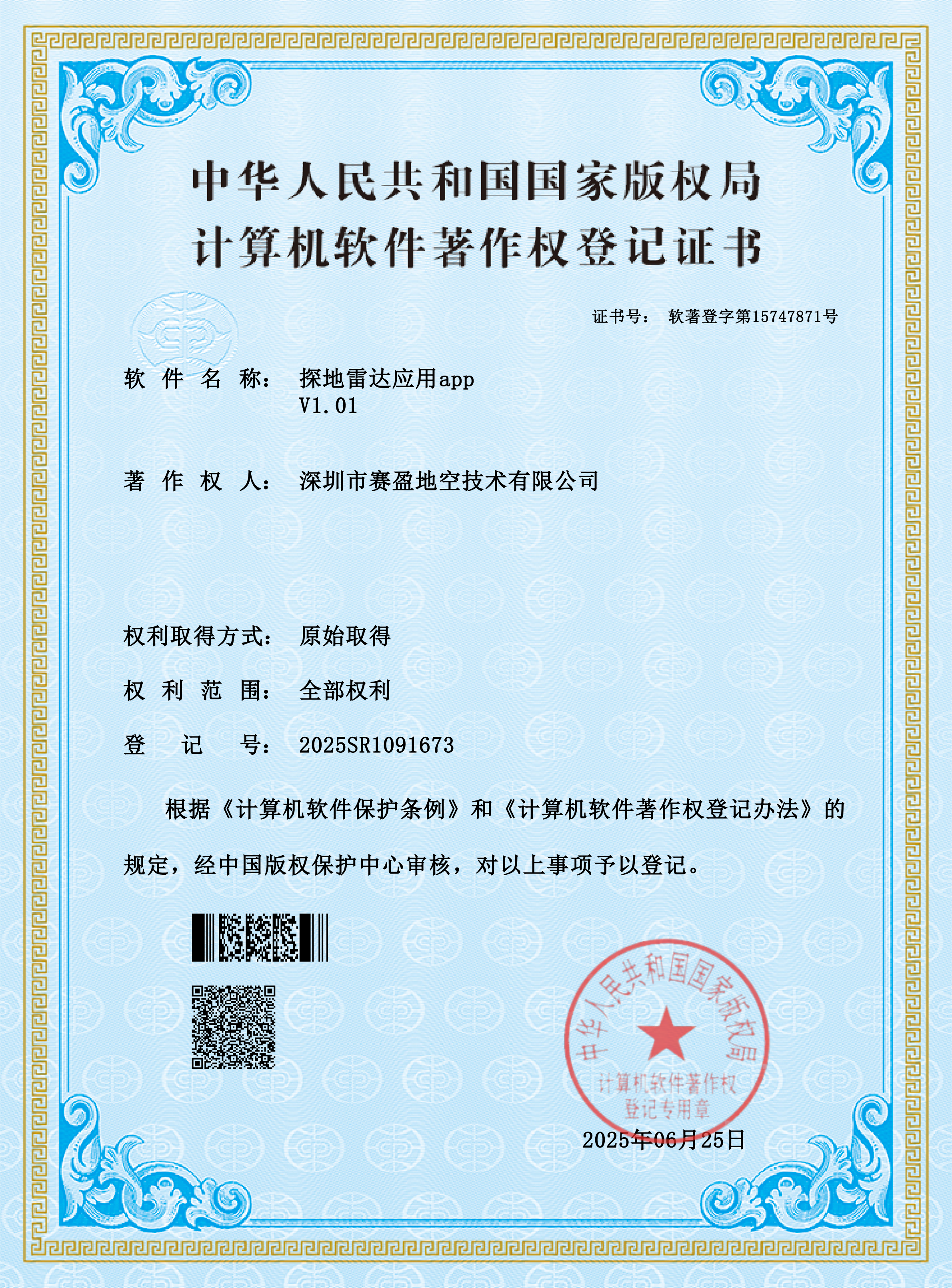
Registration No. 2025SR1091673. A mobile application for GPR field operations, supporting on-site data acquisition, annotation, and result review.
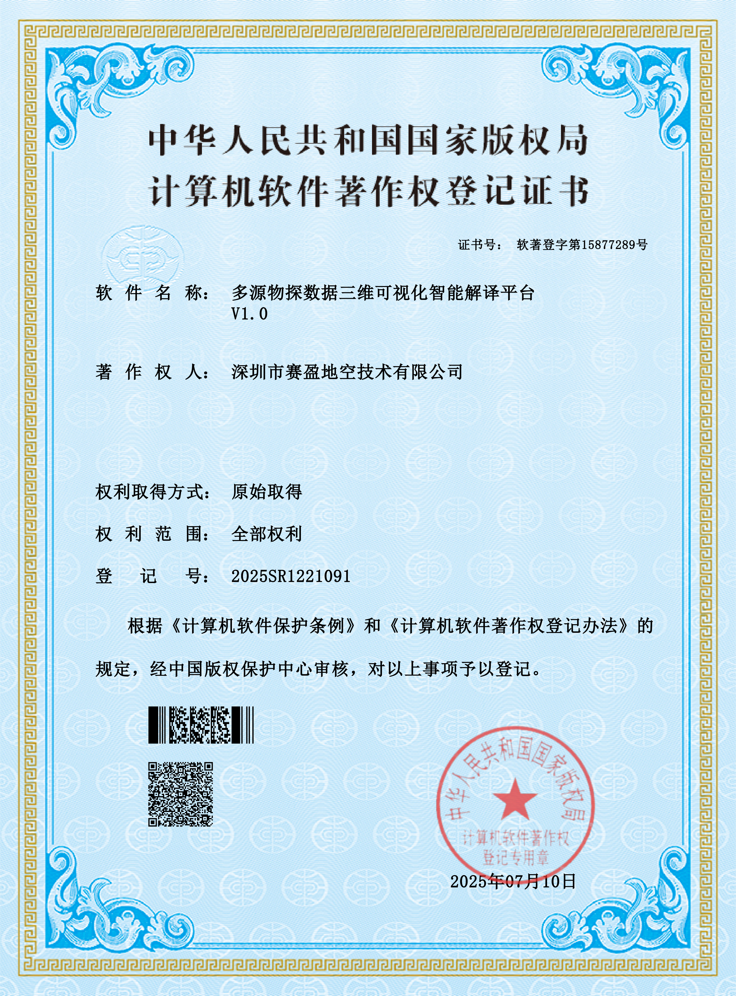
Registration No. 2025SR1221091. A 3D visualization and intelligent interpretation platform integrating multi-source geophysical data, supporting volumetric presentation and assisted evaluation of subsurface anomalies.
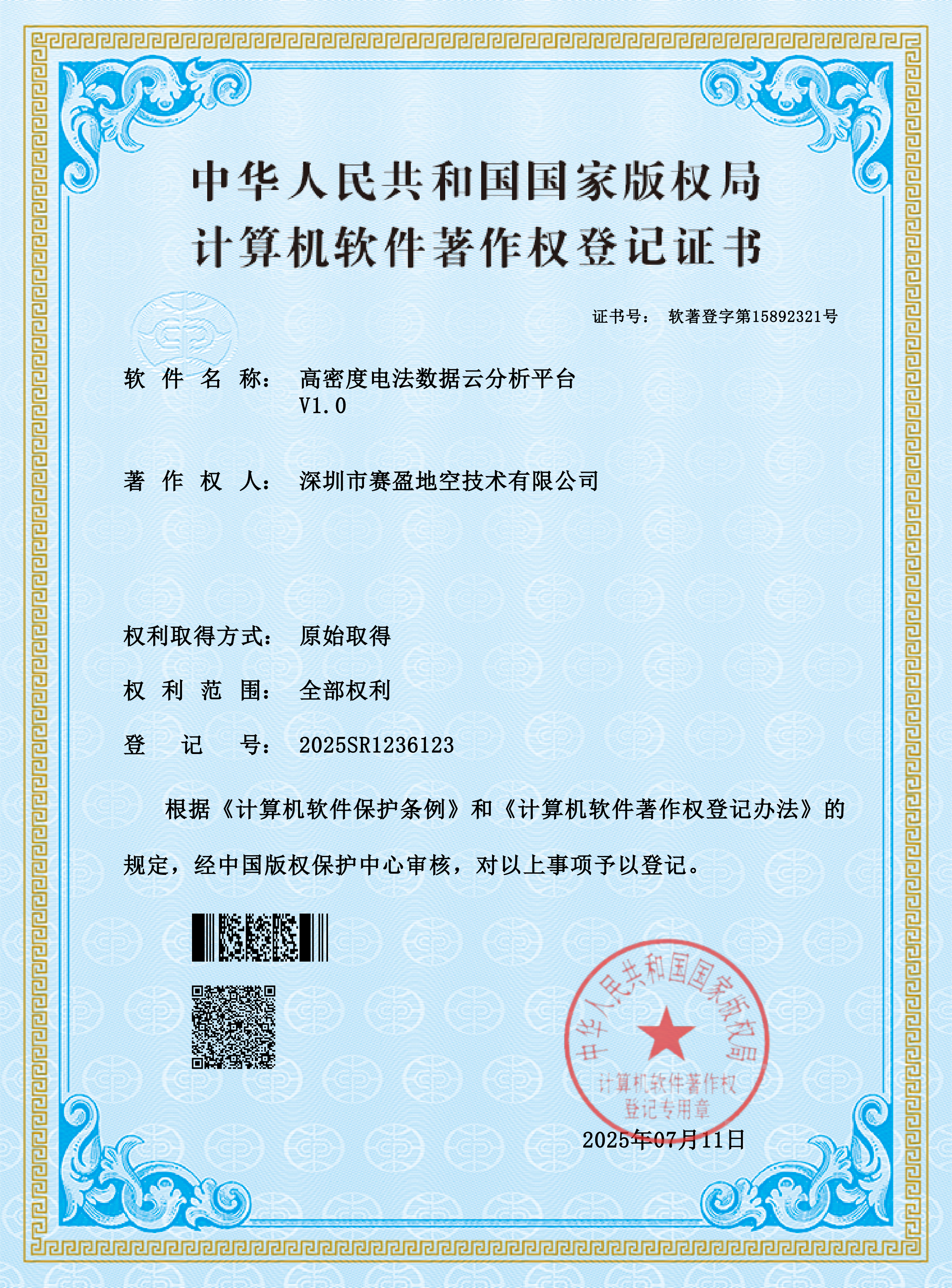
Registration No. 2025SR1236123. A cloud-based high-density resistivity data analysis platform supporting online data processing and centralized management of multiple projects.
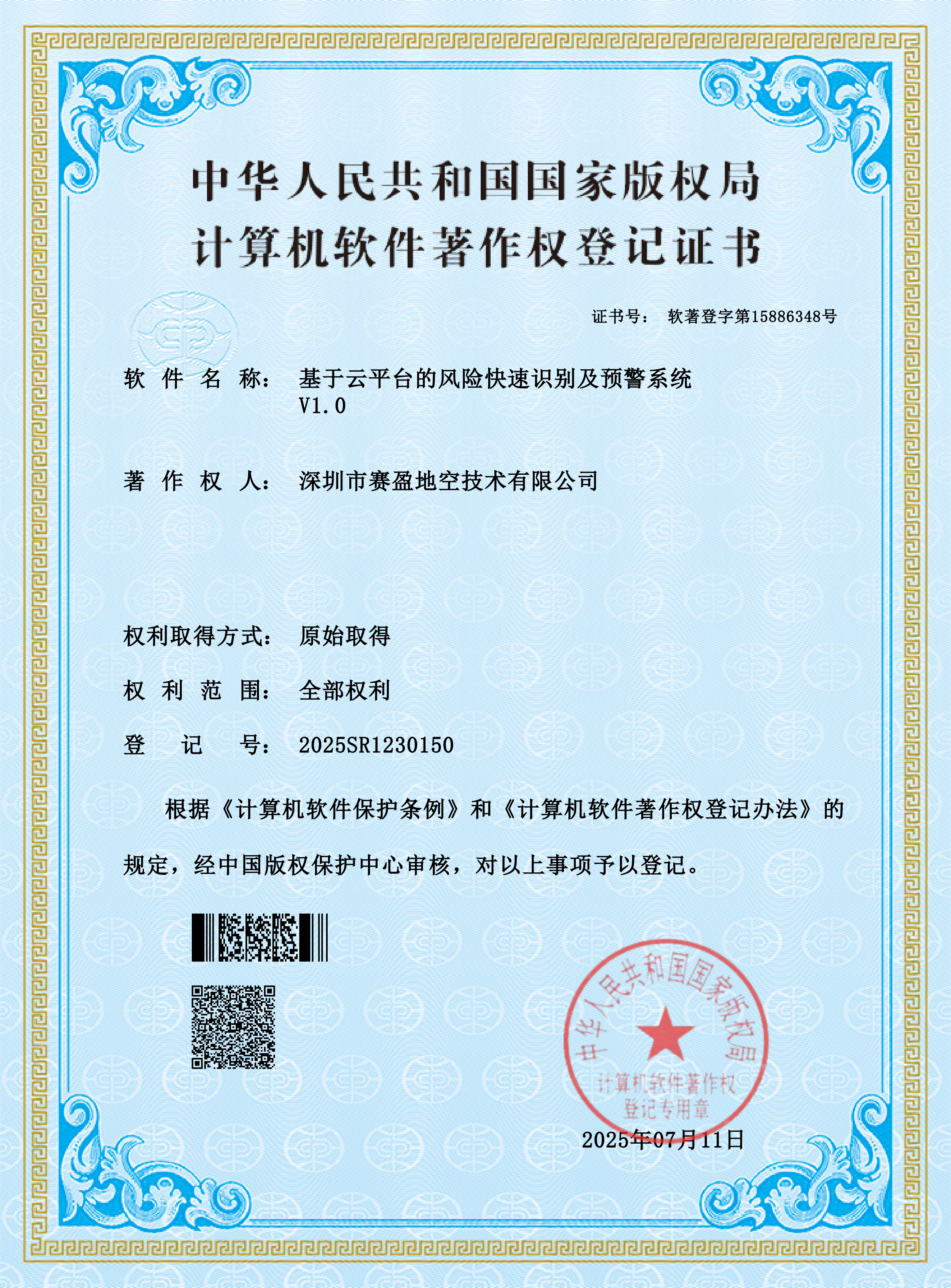
Registration No. 2025SR1230150. Delivers rapid risk identification and alert delivery through a cloud platform, providing timely support for engineering safety and operational decisions.
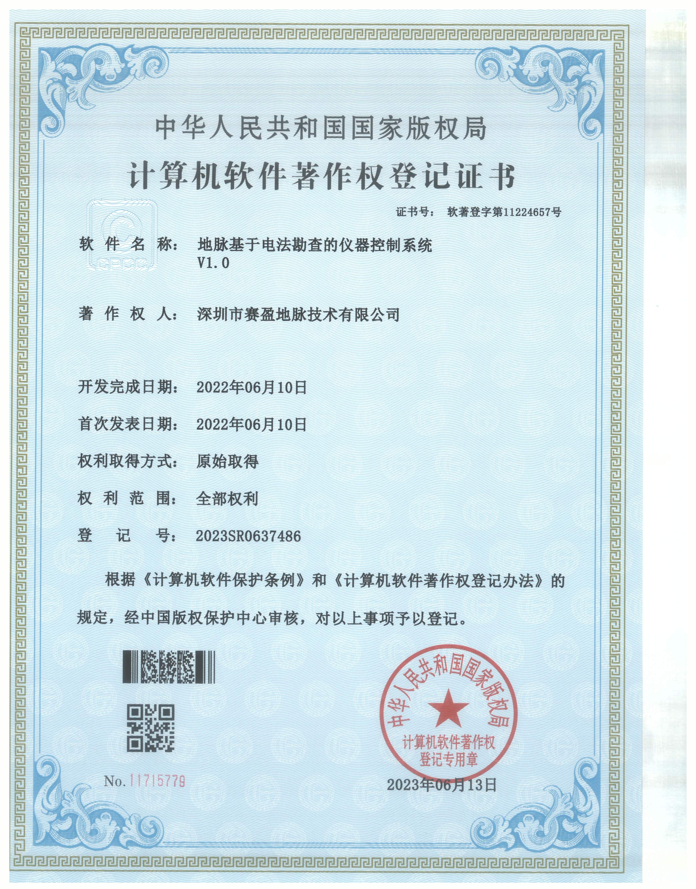
Core control software for electrical exploration instruments, managing acquisition channels, real-time data transmission, and device status — the foundation of reliable instrument operation.
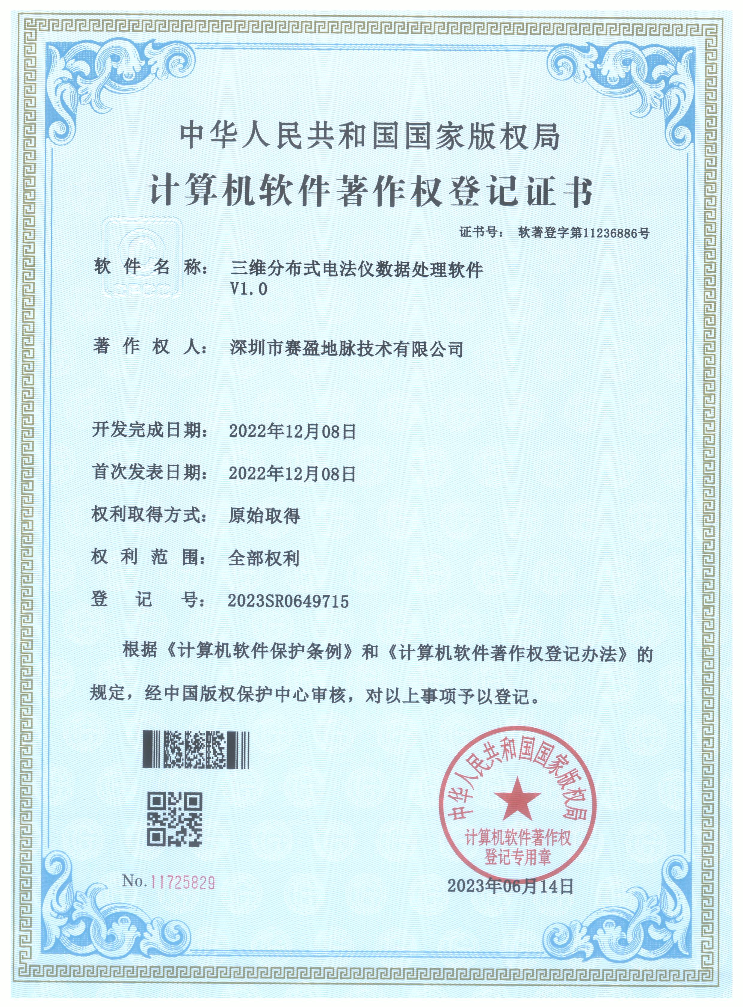
Post-processing software for 3D distributed resistivity instrument data, enabling 3D volume construction, visualization, and anomaly identification.
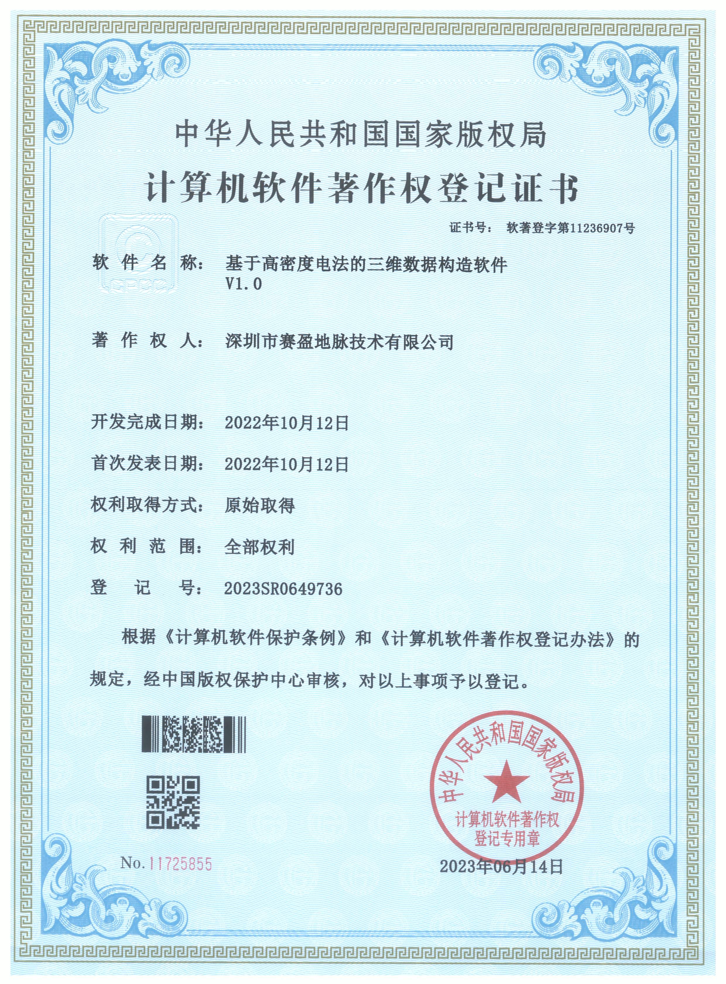
Builds 3D geological models from high-density resistivity data, providing the data foundation for volumetric subsurface interpretation and result presentation.
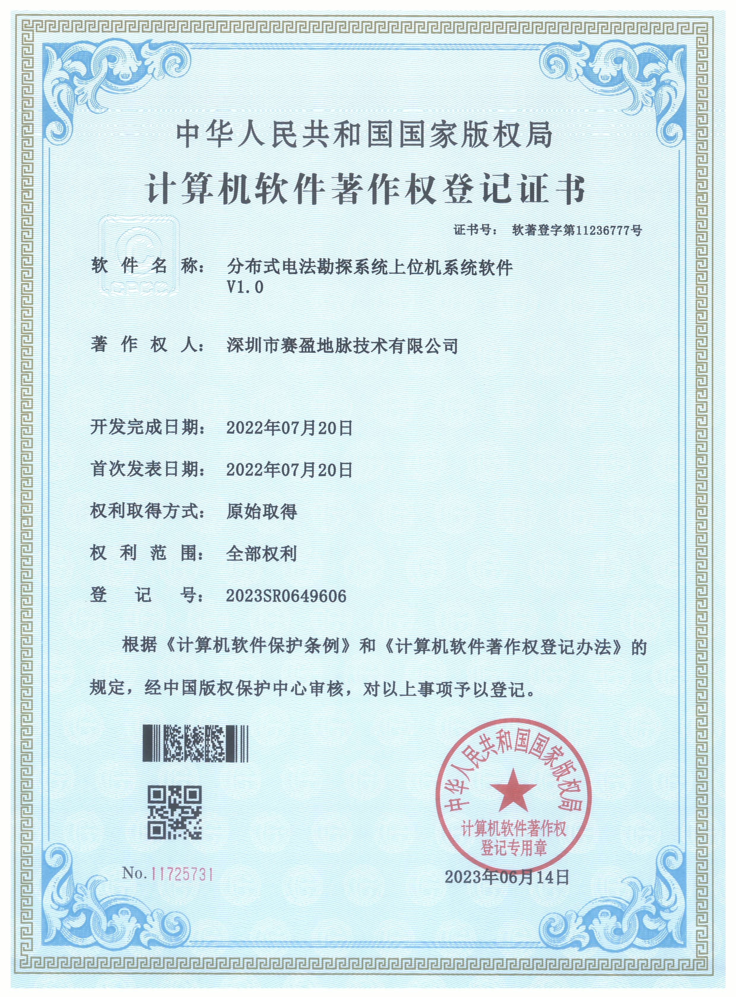
Host software for the distributed electrical exploration system, handling task scheduling, parameter settings, and acquisition coordination to support multi-unit collaborative operations.
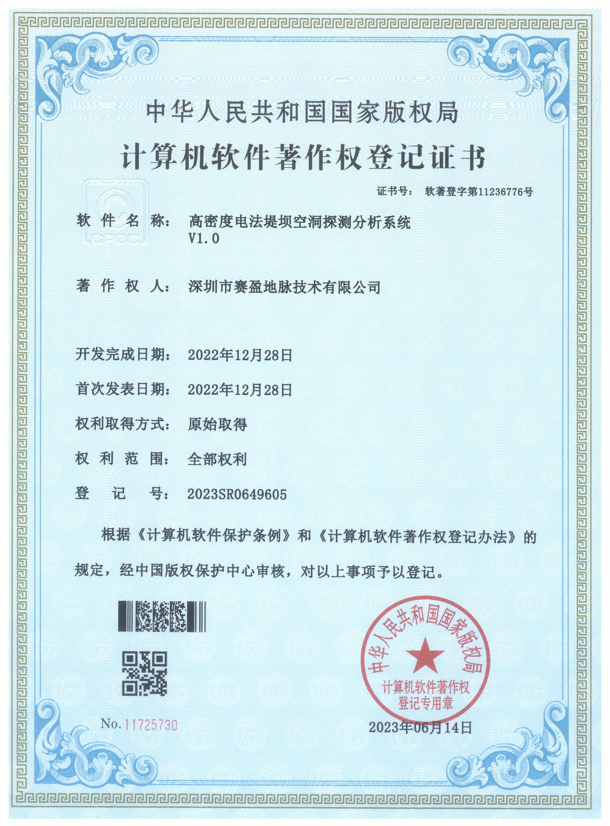
A dedicated analysis system for embankment cavities and related defects, providing anomaly identification, quantitative evaluation, and risk classification to support embankment safety assessment.
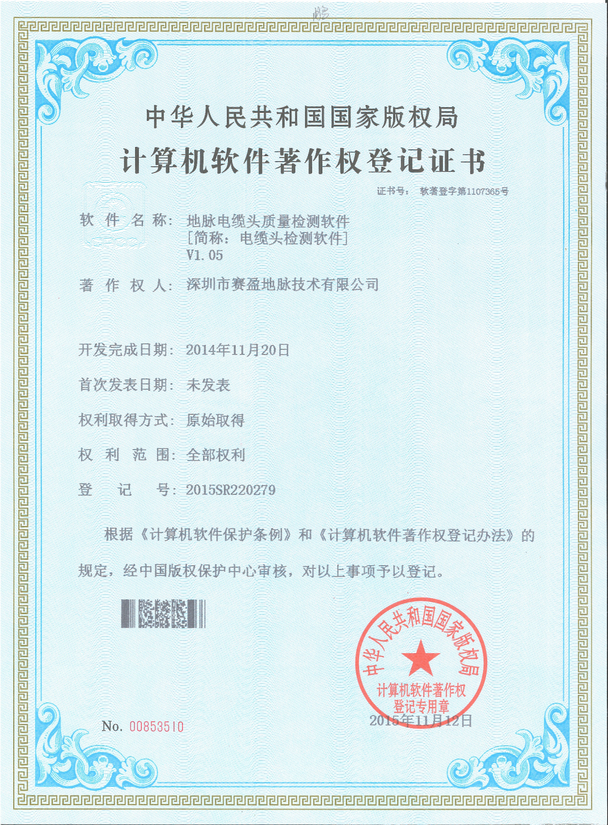
Quality inspection software for cable connectors, automating inspection during production and factory acceptance to ensure accessory consistency.
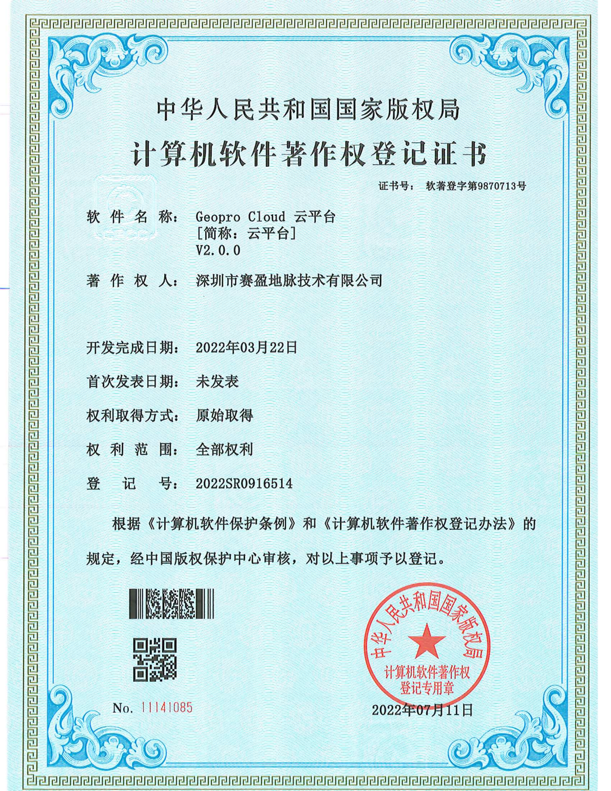
The company's cloud platform product, providing unified support for centralized data storage, team collaboration, and online sharing — a foundational component of the digital management system.
A mobile application for anomaly re-verification, supporting on-site review, result upload, and verification record retention to form a complete verification loop.
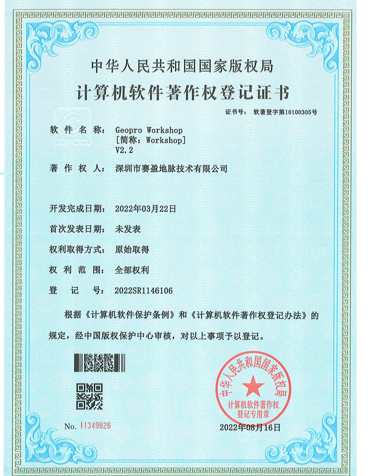
An integrated workspace for data interpretation and result production, combining data management, interpretation, and cartographic output.
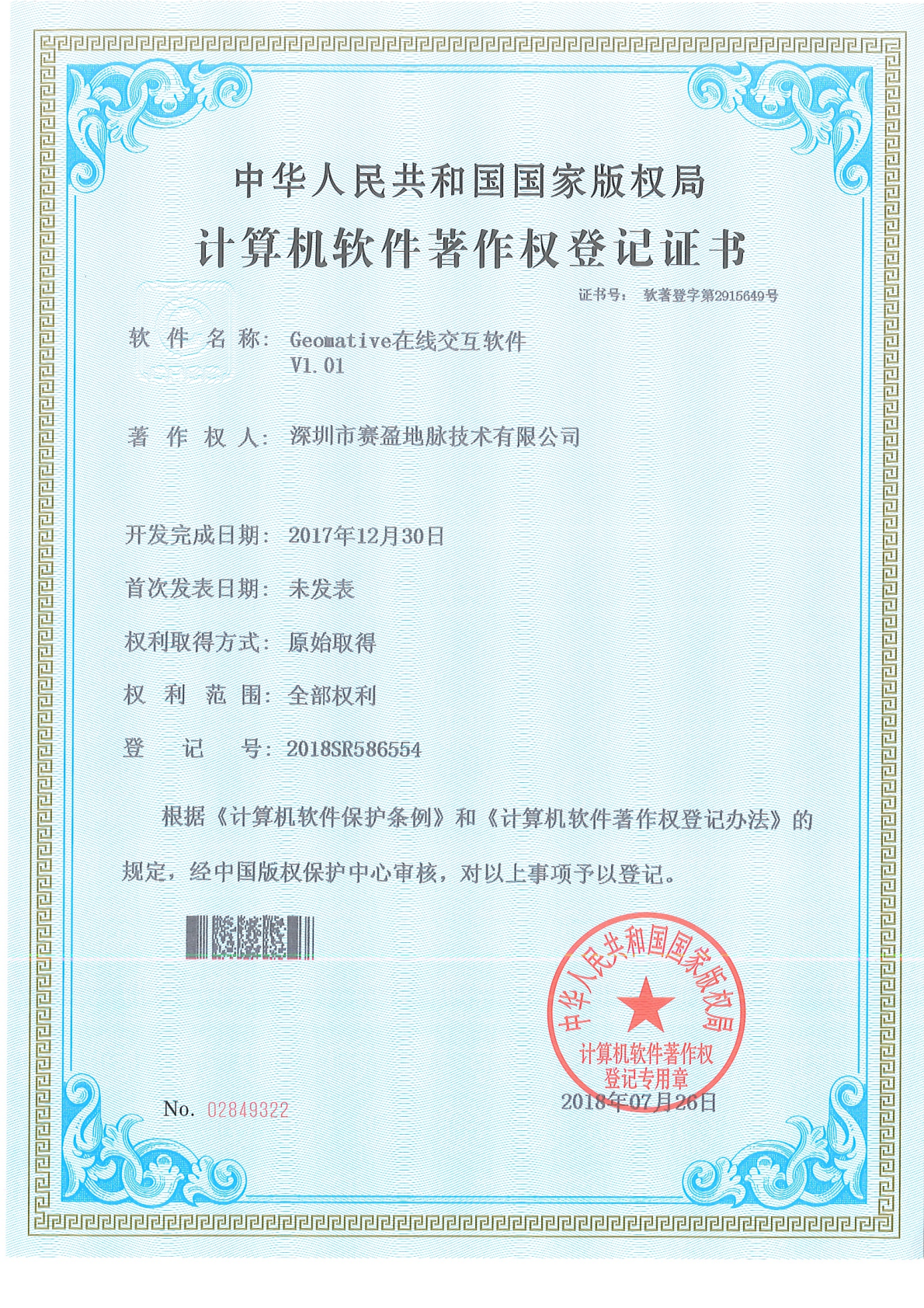
Enables online data interaction and remote collaborative viewing, shortening data synchronization and result confirmation cycles for cross-regional projects.
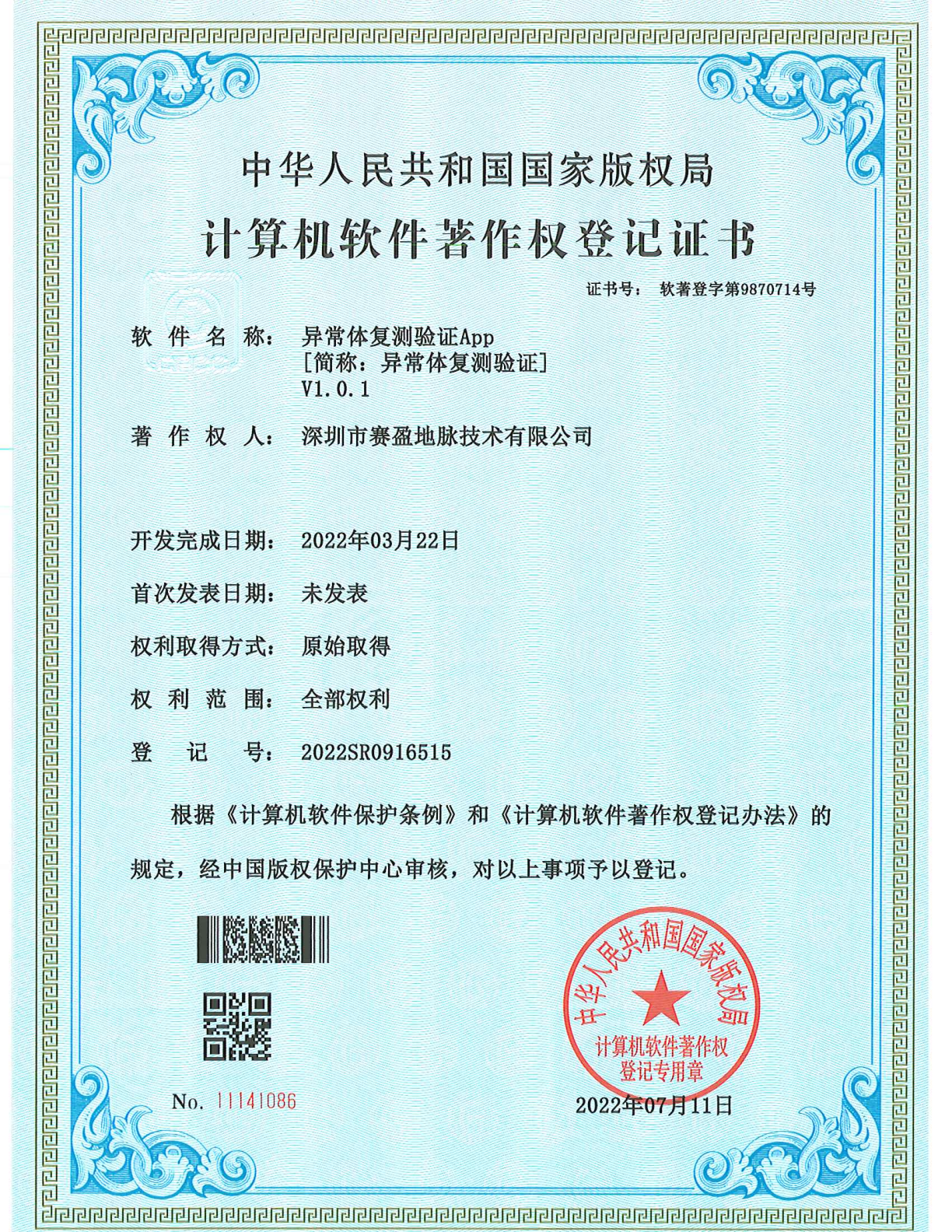
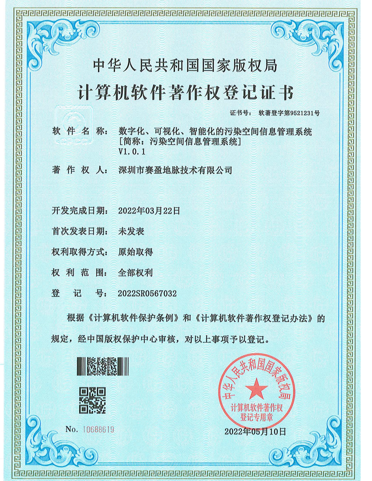
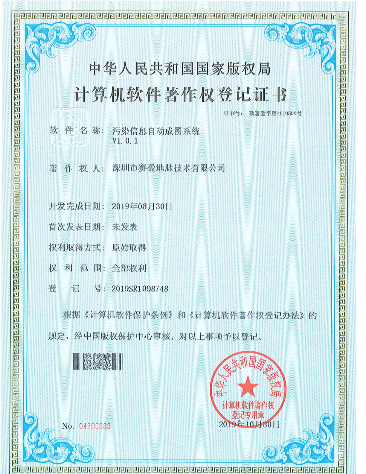
Designed for contaminated site investigation, providing digital management, visual representation, and intelligent analysis of pollution spatial information to support environmental governance decisions.
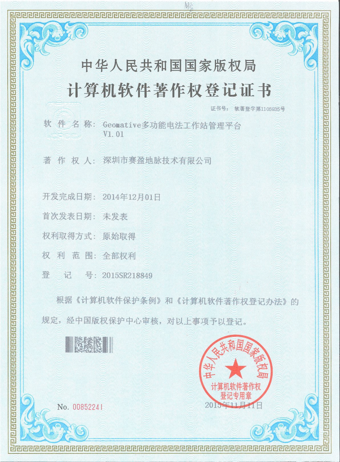
A management platform for resistivity workstations, centrally managing task assignment, data flow, and operating status across multiple units.
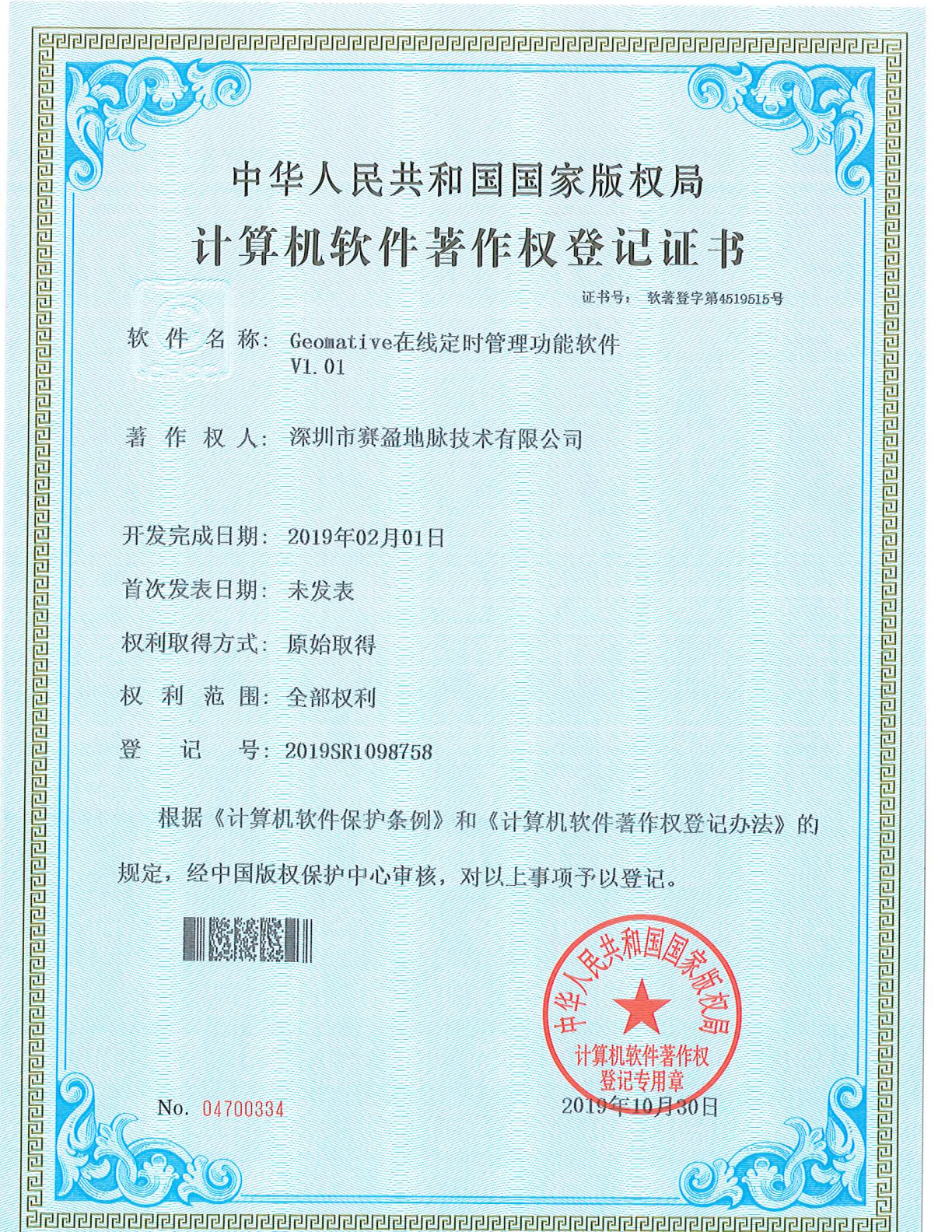
Supports scheduled planning and automatic execution of acquisition tasks, suited to long-duration unattended continuous monitoring operations.
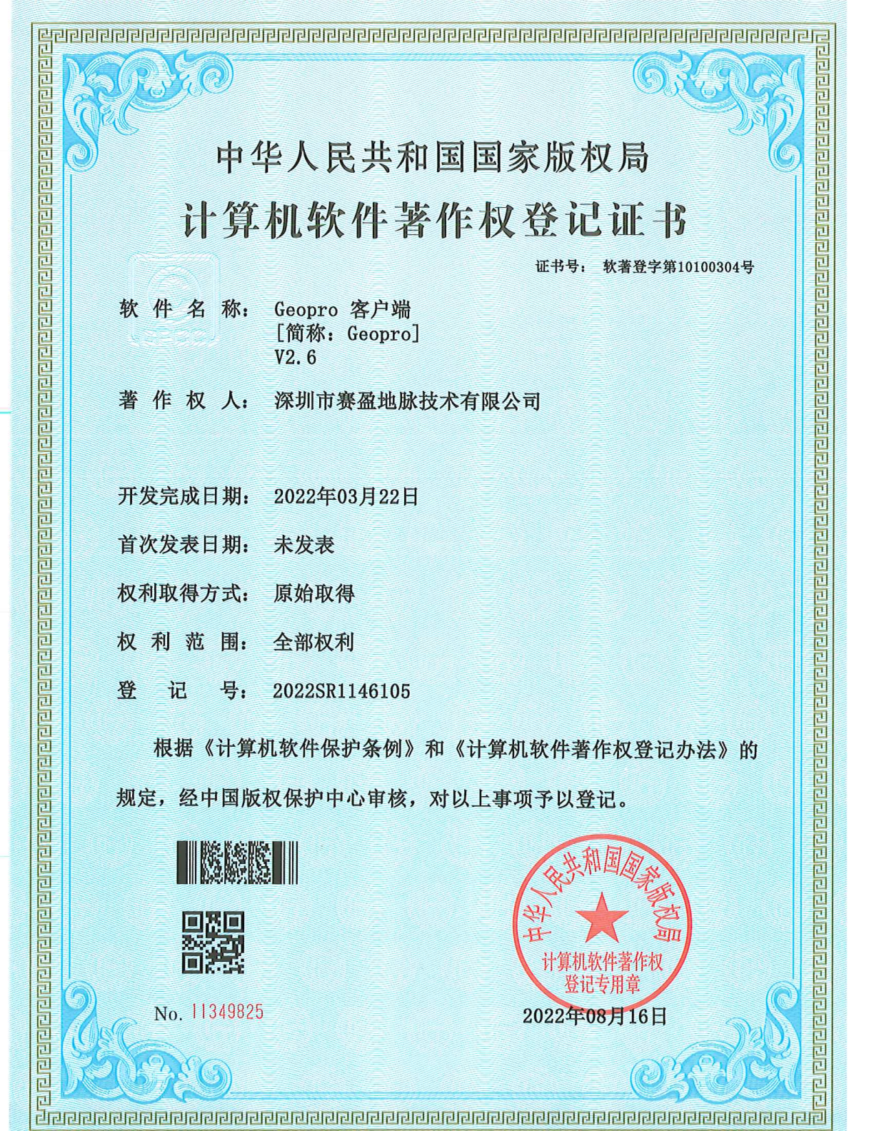
The client application for the Geopro platform, handling cloud service interaction, data synchronization, and local task execution.
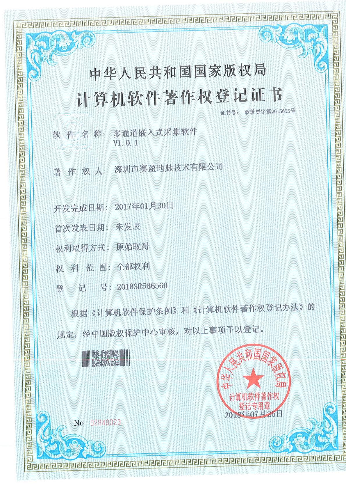
Embedded acquisition software for multi-channel resistivity instruments, handling channel synchronization control and real-time raw data collection.
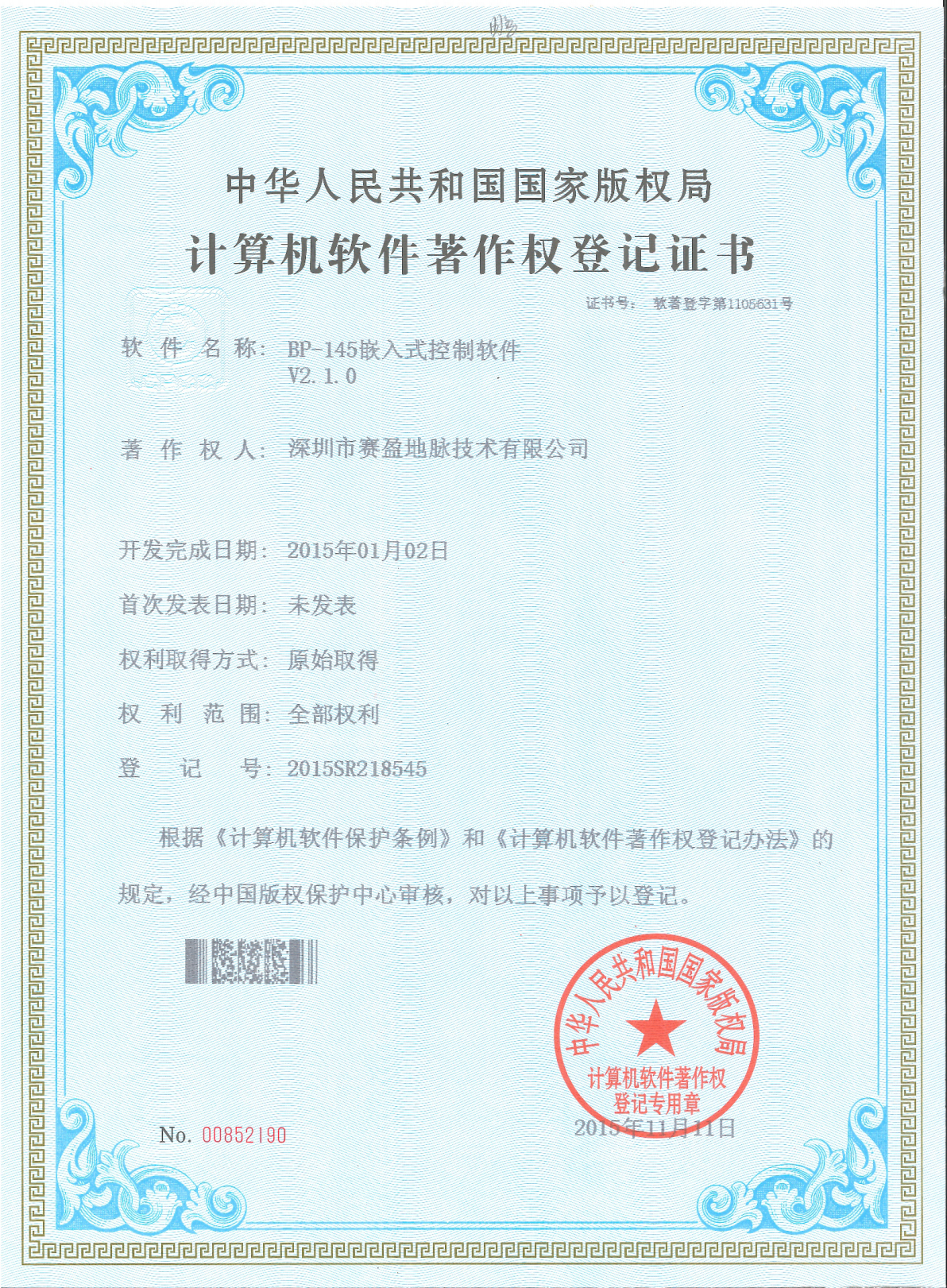
Embedded control software for the BP-145 power product, enabling precise output regulation and device protection.
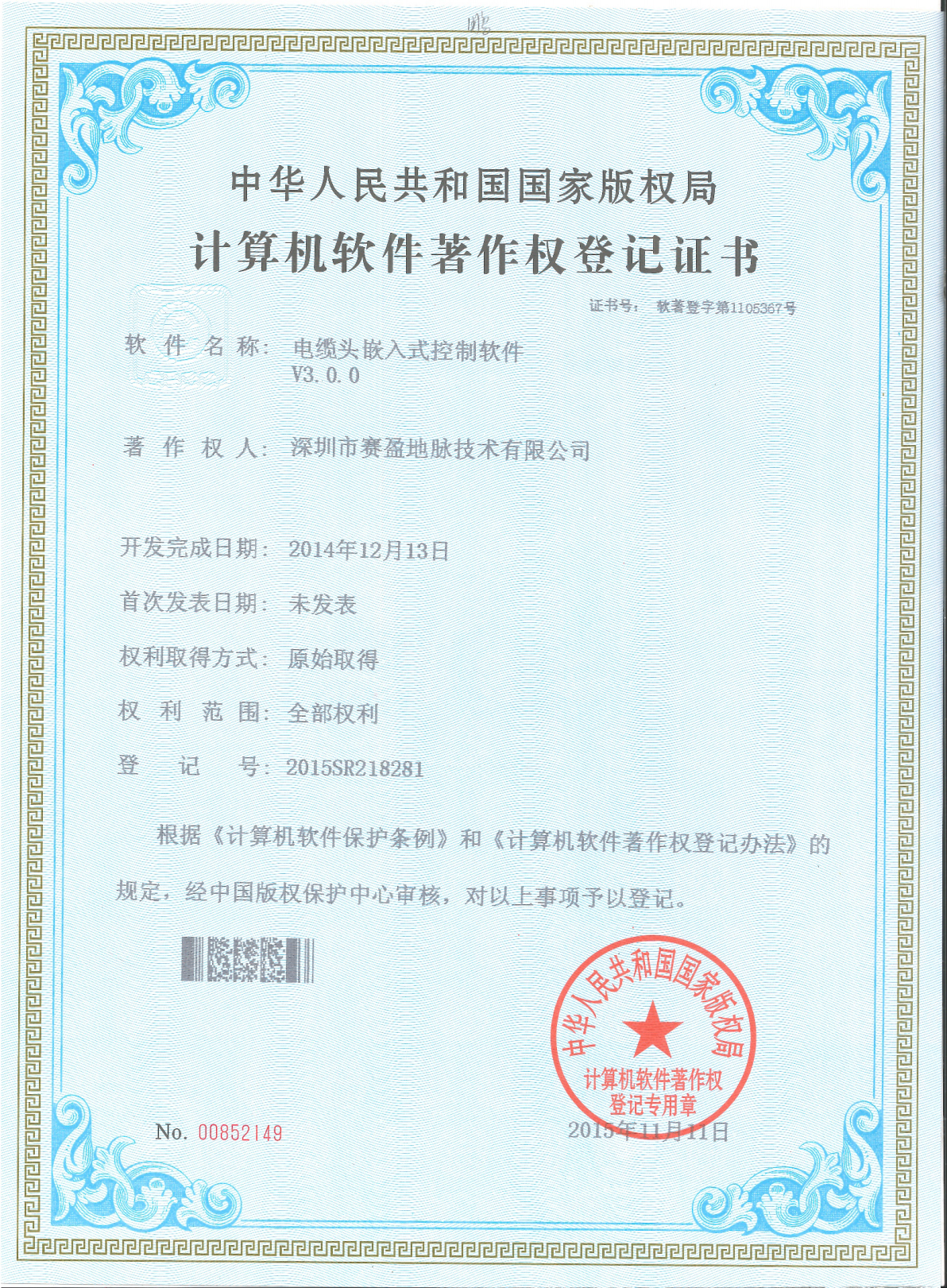
Embedded control software for cable heads, providing connection status detection and channel switching control to ensure acquisition chain reliability.
Registration No. 2019SR1006863. An automated mapping tool for contaminated site survey results, converting exploration and monitoring data into visual outputs.
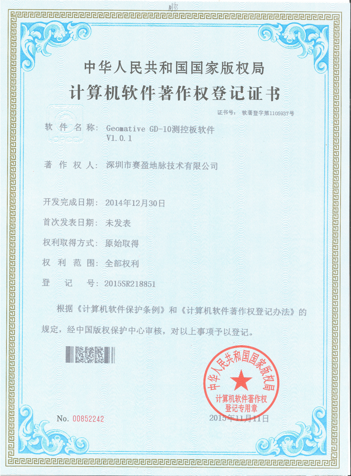
Embedded software for the GD-10 measurement and control board, handling channel measurement control, parameter configuration, and data transmission.
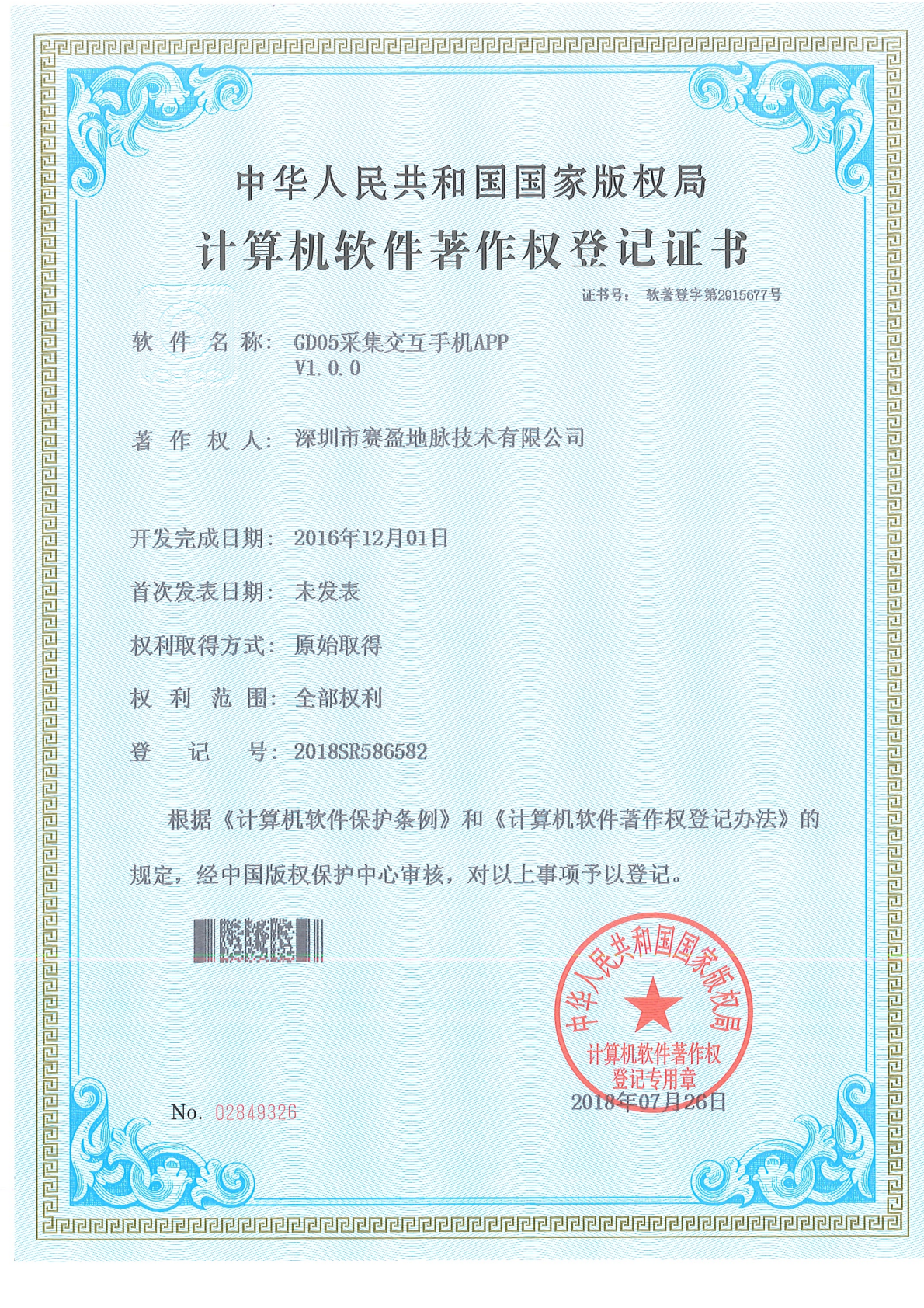
Registration No. 2018SR586582. A mobile acquisition interaction application enabling device control and real-time data viewing during field operations.
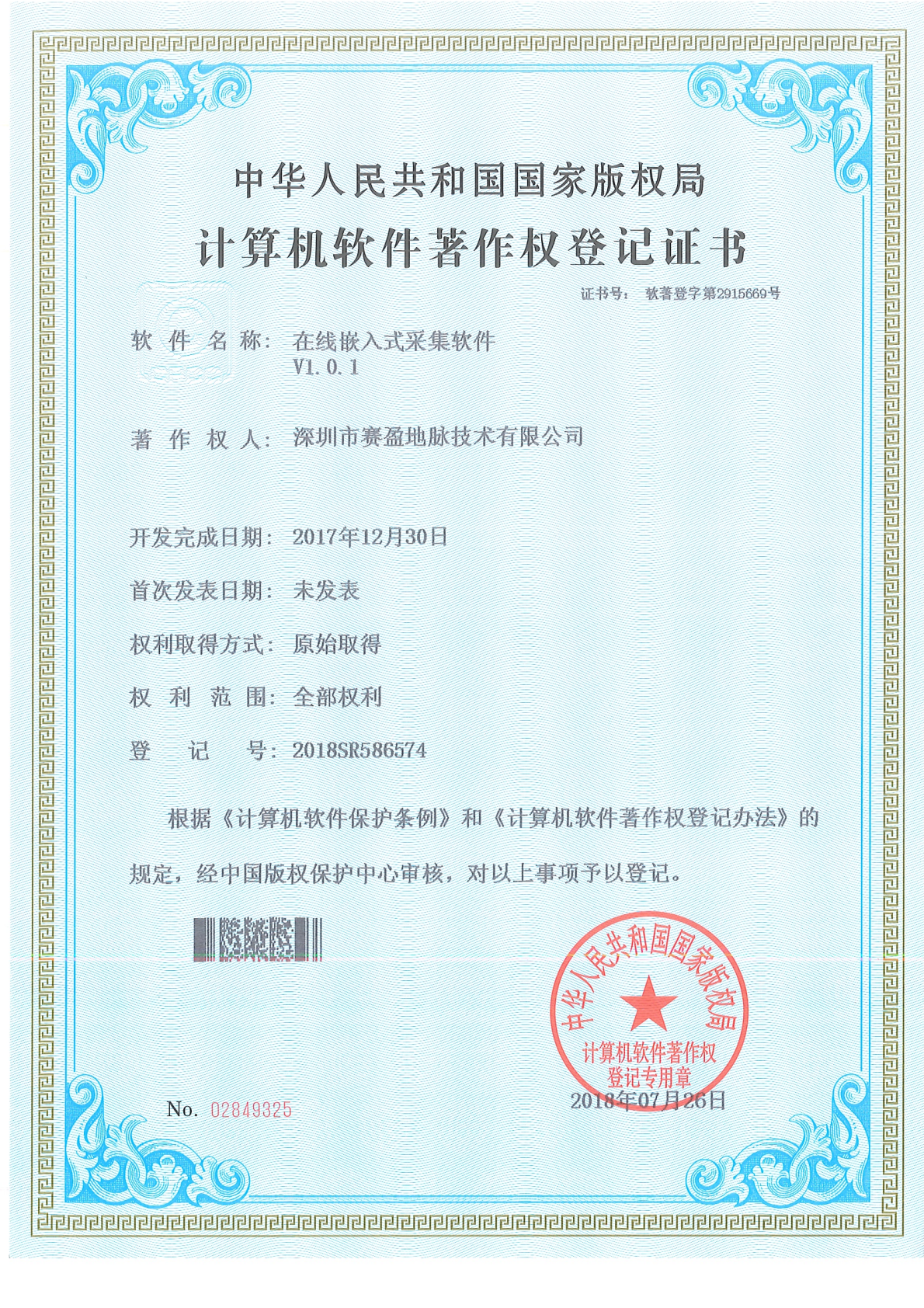
Registration No. 2018SR586574. Core acquisition software for online monitoring systems, providing continuous automatic data collection and real-time transmission.
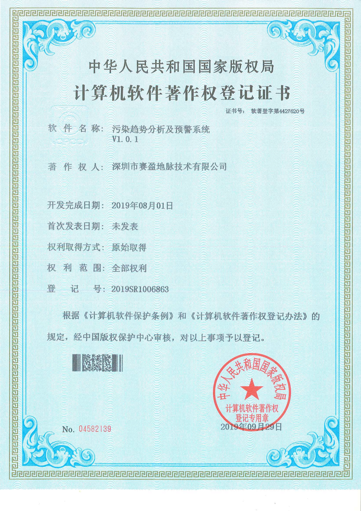
Registration No. 2019SR1006863. Performs dynamic analysis and tiered early warning of pollution spread trends, providing decision support for environmental risk control.
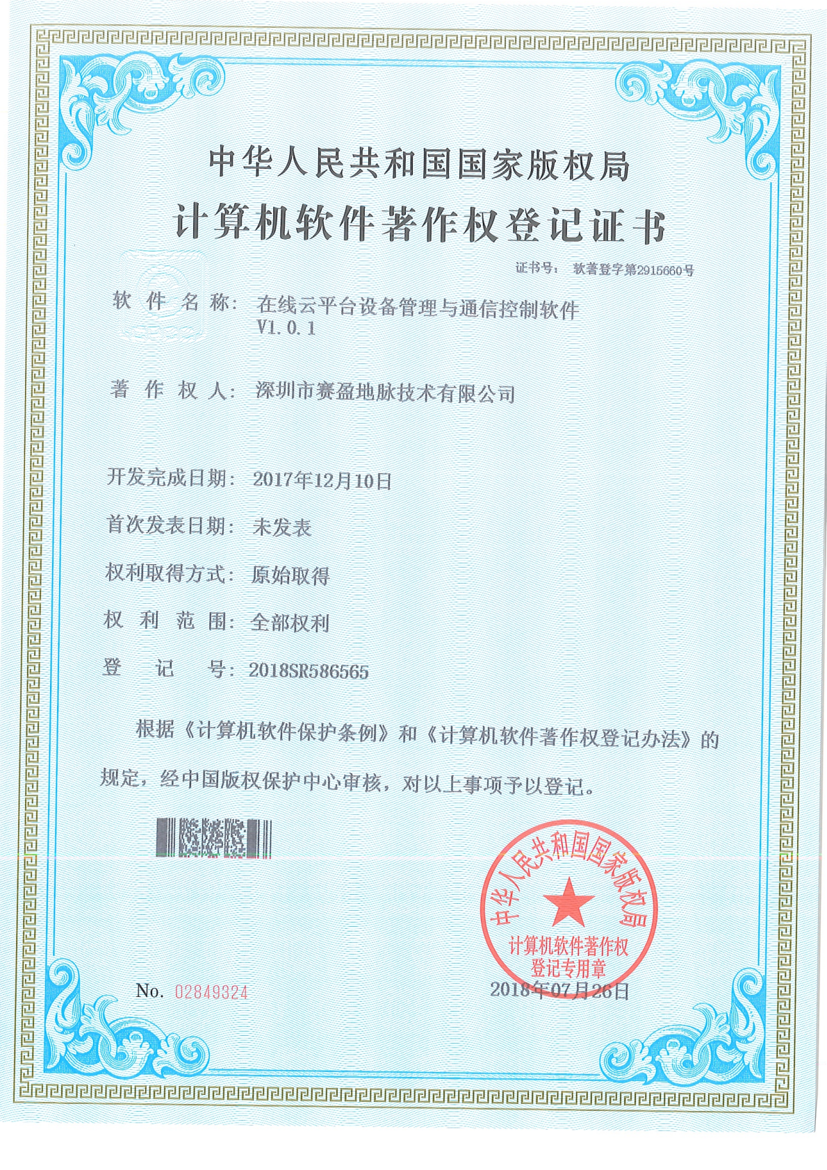
Cloud-side equipment management and communication control software, providing unified onboarding, status monitoring, and remote command delivery for multiple online devices.
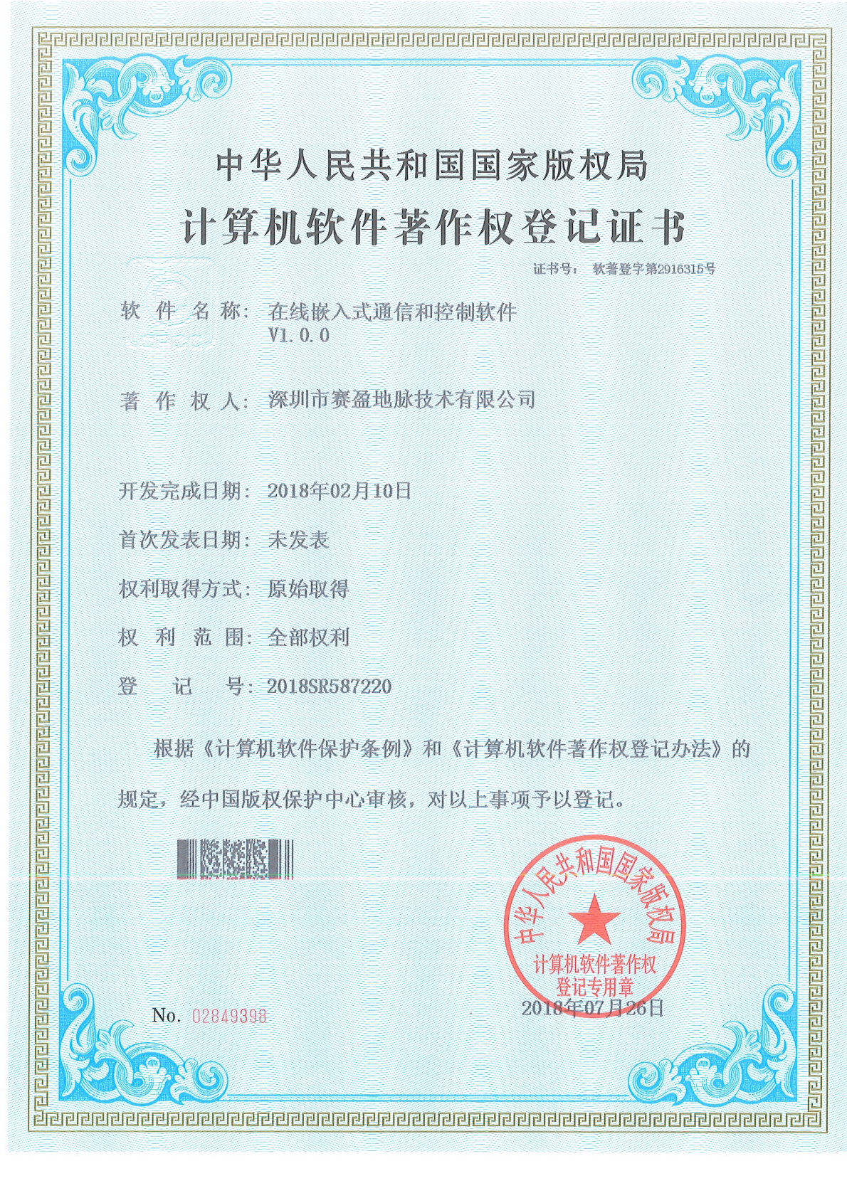
Registration No. 2018SR587220. Core communication and control software for online monitoring devices, ensuring reliable bidirectional interaction between field devices and the cloud.
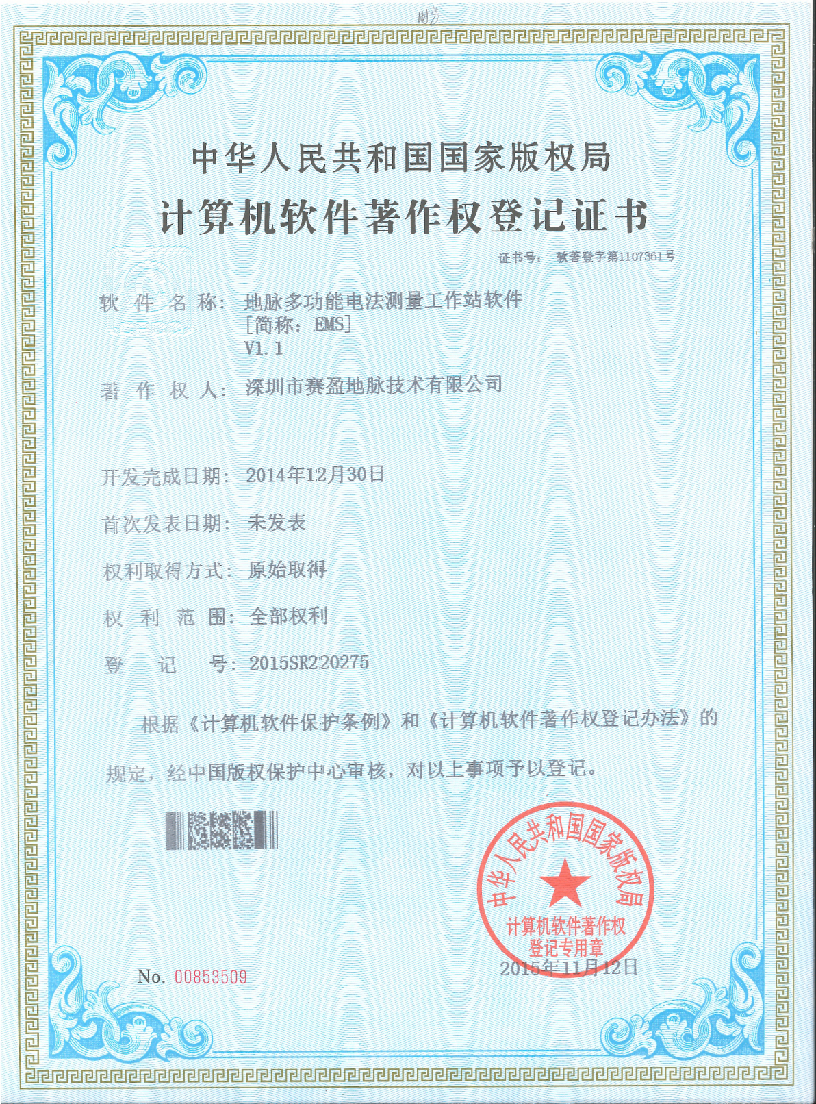
Registration No. 2015SR020375. An early multi-function electrical survey workstation software covering acquisition control, data processing, and result output.
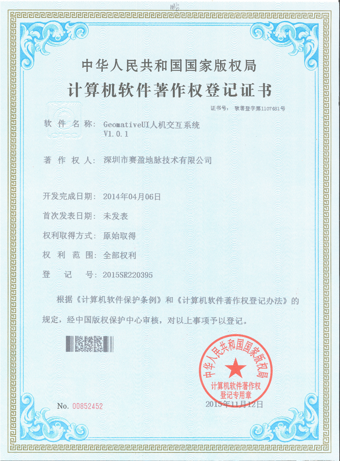
The company's unified human-machine interface system, providing a consistent operating experience and visual style across all products.
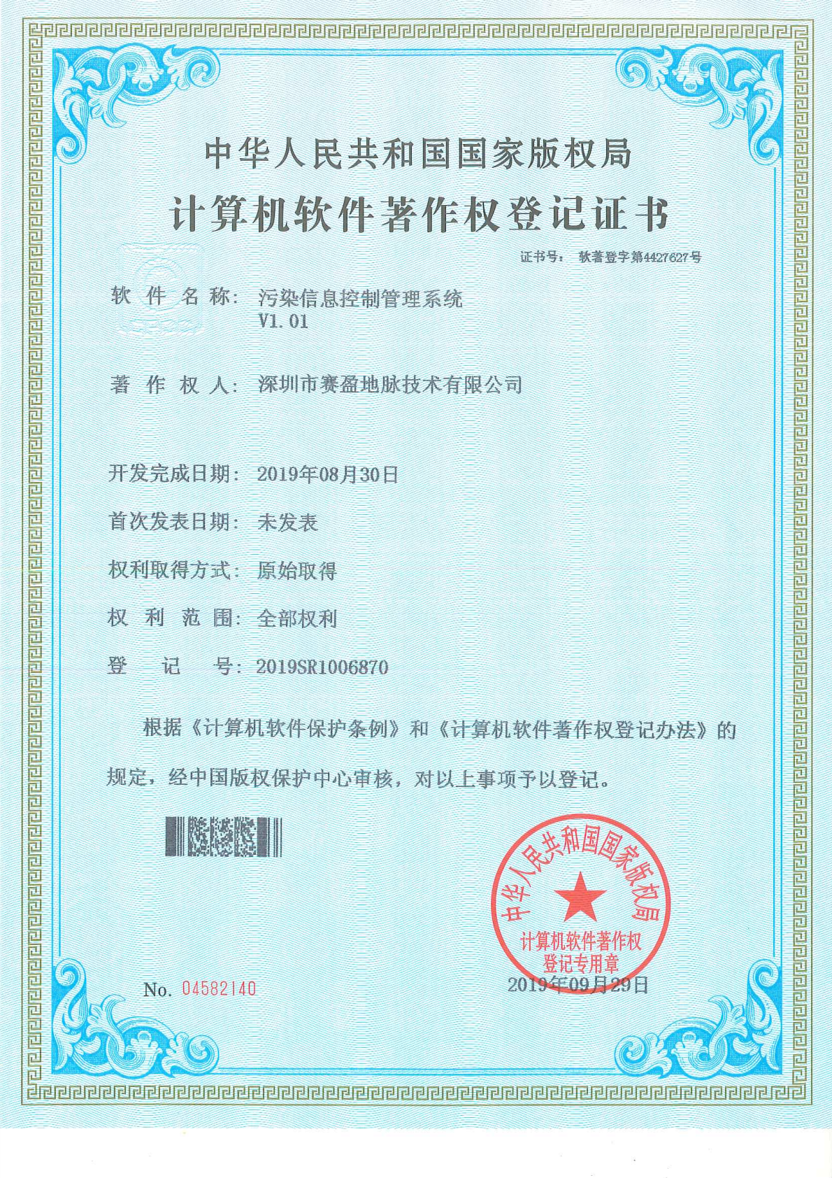
An information control and management system for contaminated site business, covering monitoring data collection, control, and workflow management.